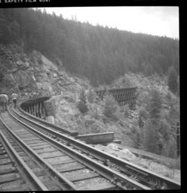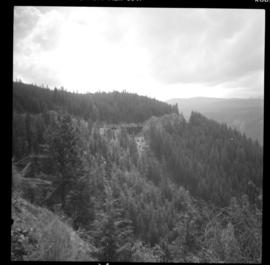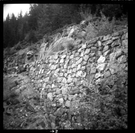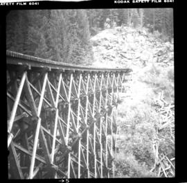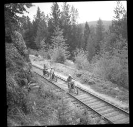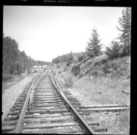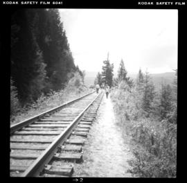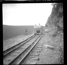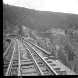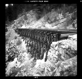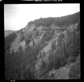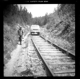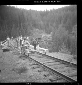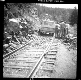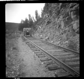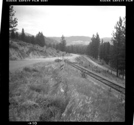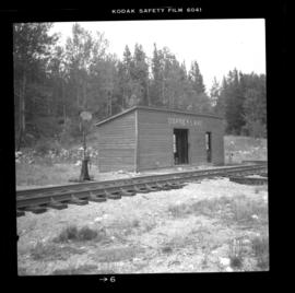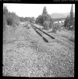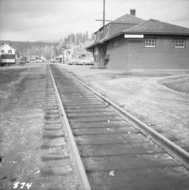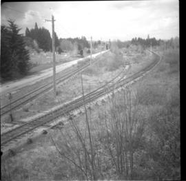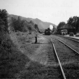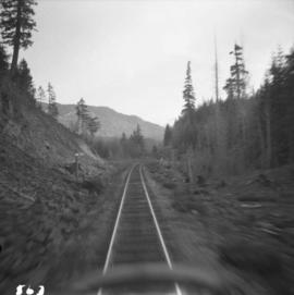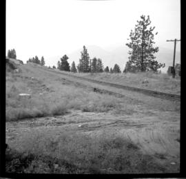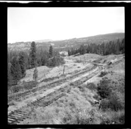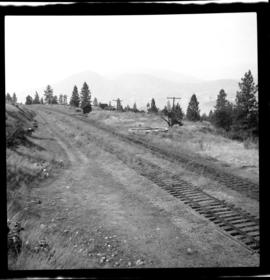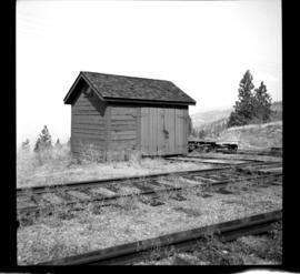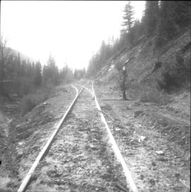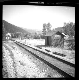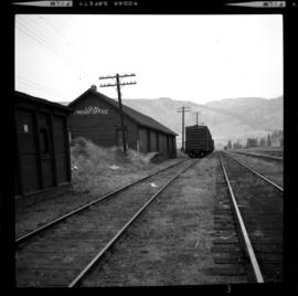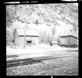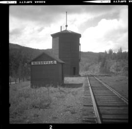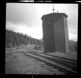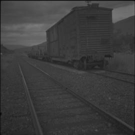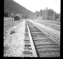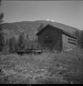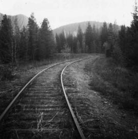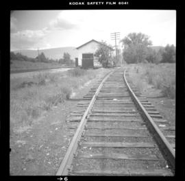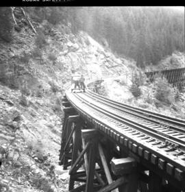
2013.6.36.1.025.14
·
Item
·
[15 June 1980]
Part of David Davies Railway Collection
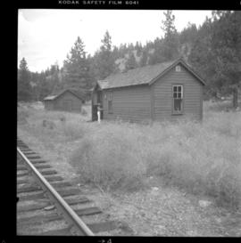
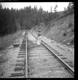
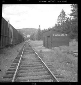
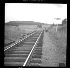
Photograph depicts the Kettle Valley Railway in Myra Canyon. The view is looking south at about mile 85.3.