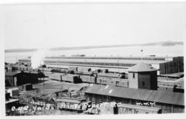
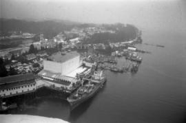
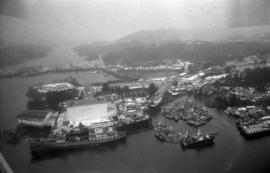
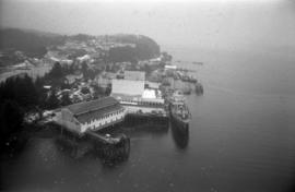
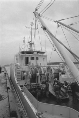
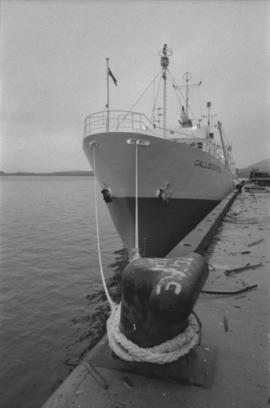
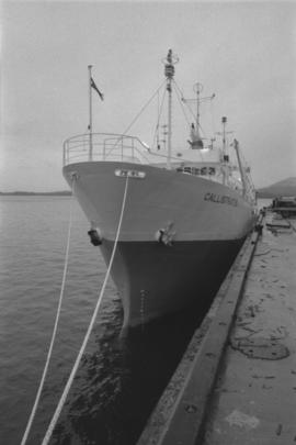
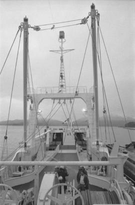
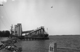
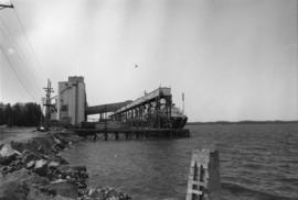
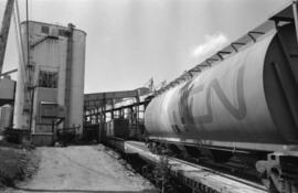
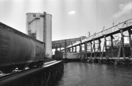
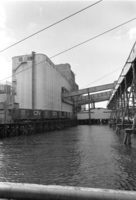
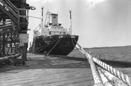
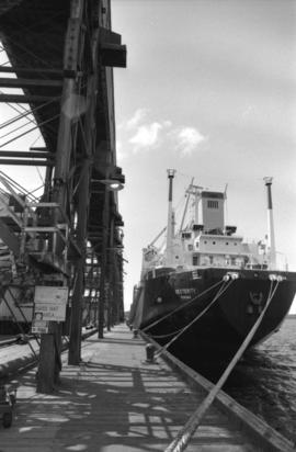
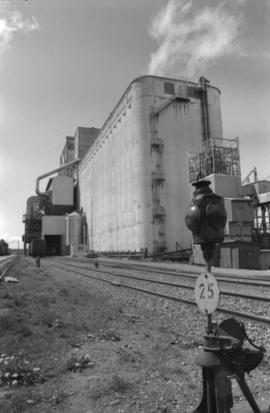
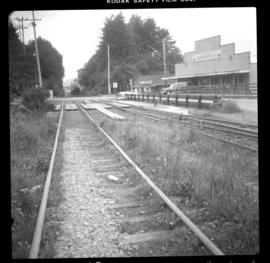
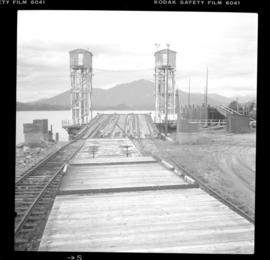
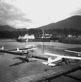
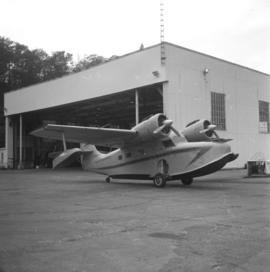
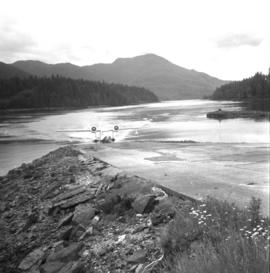
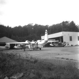
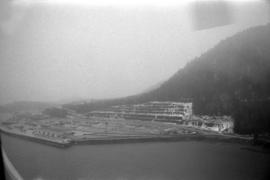
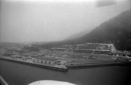
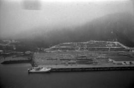
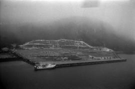
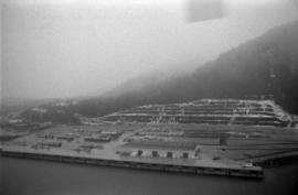
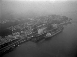
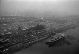
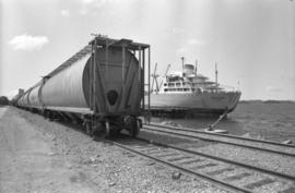
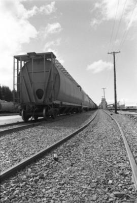
Image depicts the rail yards in Prince Rupert.
Photograph depicts trackage connecting the passenger depot in Prince Rupert and freight only section to a seal cove. Image captured at Cow Bay, with the Mason Way grade crossing visible. In 2003, Davies noted that the twin sets of track on the rail bridge survived, but everything else had disappeared.
Photograph depicts a ferry slip and a rail barge to Alaska. 3 tracks were used for shipping.
Photograph depicts an air-sea rescue launch that may been used during World War II. It was located just beside Highway 16, about 5 miles from the centre of Prince Rupert.
Photograph depicts possibly disused fishboats found adjacent to oil wharfs in Prince Rupert.
Photograph depicts a Coastgaurd ship, "Narwhal," at the Department of Transport wharf in Seal Cove.
Photograph depicts a Gruman Goose at the Seal Cove Seaplane Base. Several of these planes were in use at this location. At least 6 in total.
Photograph depicts a Gruman Goose of the Trans Provincial Airpline that had just landed on on floats and was emerging on wheels to climb a ramp to the seaplane base.
Photograph depicts a Gruman Goose of the Trans Provincial Airpline discharging passengers, having just landed on floats and then taxied on wheels up a ramp.
Item consists of transcript and tape summary of interview with historian Frank Leonard who discusses the history of the Grand Trunk Pacific Railway, its impact on the development of Prince George and Prince Rupert. Also discusses rivalries between owners of the newspapers Fort George Herald and Fort George Tribune.
Sans titreItem is a print of a photograph of a person poling a dugout canoe between 1906 and 1908.
Photograph depicts a Canadian National Railway rail yard at Prince Rupert, BC.
Photographs within this file pertain to modes of transportation and transportation routes (including construction, surveying and traveling).
Handwritten caption along bottom of photograph reads: "Japanese freighters 'Yeiufuku Maru' and 'Aden Maru' in Prince Rupert Harbor to load first cargo of grain from this port, Oct. 22, 1926. Photo W.W.W." The Prince Rupert Feed Co. Coal, Grain, Hay & Feed Company building visible from Trotier's Dock.
Photograph depicts a forested mountain, the bottom half of which has been logged and terraced; beneath the mountain is a railroad track and parked vehickes including a schoolbus and two dumptrucks.
Handwritten annotation on verso reads: “Fairview Sodturning, Prince Rupert, 1/3/75”.
Publication is entitled "Proposal for a New Grain Terminal at Prince Rupert", which outlines a grain shipping terminal at Prince Rupert, its design, a suggested site and estimated costs.
Photograph depicts the "Comanchero II" boat in the Prince Rupert Marina. Another building and boat are visible in the background.
Photograph depicts an unidentified fishing boat at the Prince Rupert marina. An unidentified person stands beside a building in the far background.
Photograph depicts an aerial view of the Prince Rupert Fairview Cargo Terminal.
Photograph depicts an aerial view of the Prince Rupert Fairview Cargo Terminal with Prince Rupert in the background.
Photograph depicts an aerial view of the Prince Rupert Fairview Cargo Terminal with a moored boat.
Photograph depicts an aerial view of the Prince Rupert Fairview Cargo Terminal.
Photograph depicts an aerial view of a ship at port in Prince Rupert.
Photograph depicts an aerial view of a ship at port surrounded by logs in Prince Rupert.
Photograph depicts an aerial view of ships at the Prince Rupert harbour.
Photograph depicts an aerial view of the Prince Rupert harbour.
Photograph depicts an aerial view of ships at the Prince Rupert harbour.
Photograph depicts men working on the deck of the fishing vessel “Callistratus” at the Fairview Terminal in Prince Rupert.
Photograph depicts the fishing vessel “Callistratus” at the Fairview Terminal in Prince Rupert.
Photograph depicts men working on the deck of the fishing vessel “Callistratus” at the Fairview Terminal in Prince Rupert.
Photograph depicts the fishing vessel “Callistratus” at the Fairview Terminal in Prince Rupert.
Photograph depicts an interior view of the bridge with ship's wheel of the fishing vessel “Callistratus” at the Fairview Terminal in Prince Rupert.
Photograph depicts the messdeck of the fishing vessel “Callistratus."
Photograph depicts a deck view with six men on the fishing vessel “Callistratus” at the Fairview Terminal in Prince Rupert.
Photograph depicts the Prince Rupert grain facility from shore with a helicopter flying overhead.
Photograph depicts an interior view of the bridge of the fishing vessel “Callistratus” at the Fairview Terminal in Prince Rupert.
Photograph depicts the Prince Rupert grain facility from shore with a helicopter flying overhead.
Photograph depicts the Prince Rupert grain facility and a CN grain car.
Photograph depicts the Prince Rupert grain facility on the ocean and a CN grain car.
Photograph depicts the Prince Rupert grain facility on the ocean with Canadian National Rail cars.
Photograph depicts a docked ship named “Dexterity” at the harbour in Prince Rupert.
Photograph depicts an exterior view of the Prince Rupert grain facility with nearby railroad tracks.
Photograph depicts the ship “Aegean Sea” docked in Prince Rupert.
Photograph depicts a docked ship named “Aegean Sea” and a docked vessel named “Cape Ball” in Prince Rupert.
Photograph depicts the ship “Aegean Sea” in Prince Rupert.
Photograph depicts the docked ship “Aegean Sea” and a Canadian National grain car in Prince Rupert.
Photograph depicts a Canadian National grain car on railroad tracks by the grain facility in Prince Rupert.