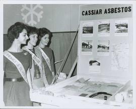
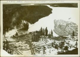
2000.1.1.3.15.21
·
Item
·
1961
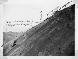
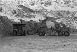
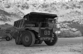
Part of Cassiar Asbestos Corporation Ltd. fonds
Photograph depicts benches of Cassiar's open mine. Men can be seen standing near machinery speculated to be blasthole drills in bottom left of image. Handwritten annotation on recto of photograph: "Waste Stripping Operations on McDame Mt. Ore Mining in lower right Corner.", on verso: "1961".