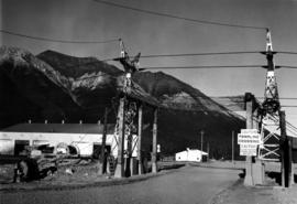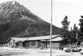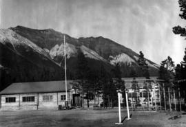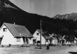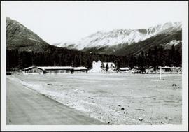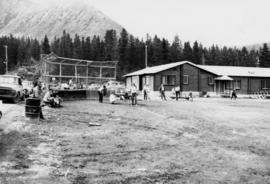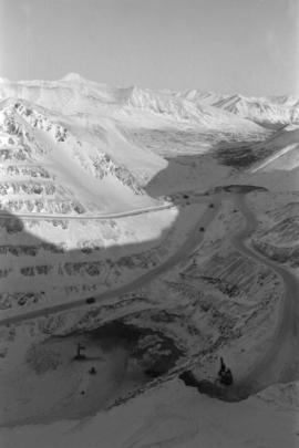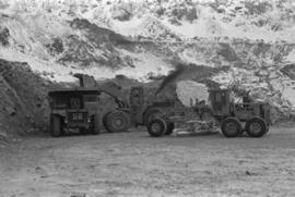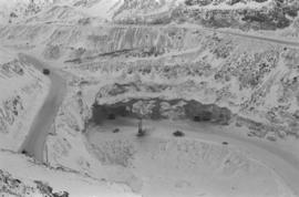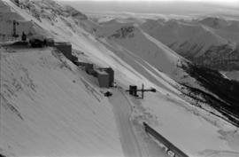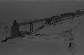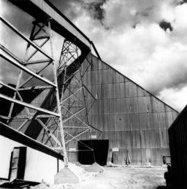
2000.1.1.3.19.020
·
Item
·
1961
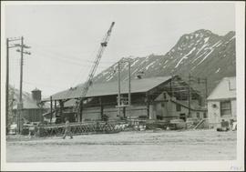
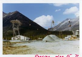
Part of Cassiar Asbestos Corporation Ltd. fonds
Photograph depicts front of dry rock storage building, conveyor visible above on left. Handwritten annotation on verso of photograph: "1961".