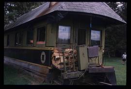
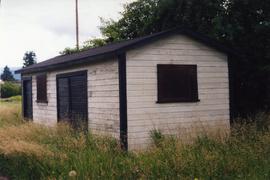
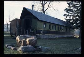
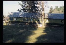
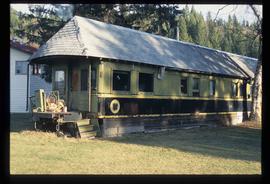
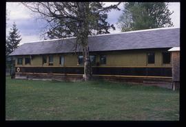
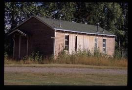
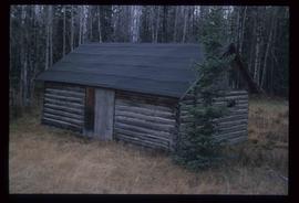
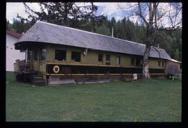
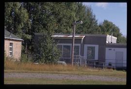
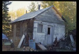
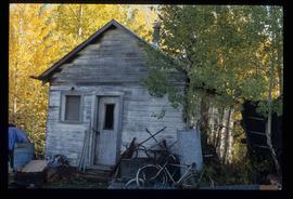
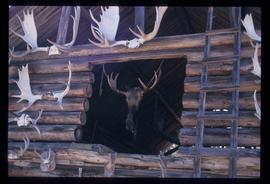
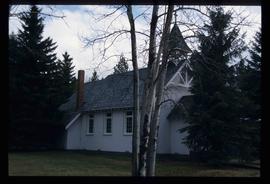
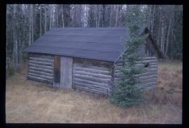
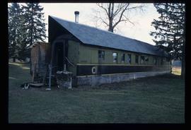
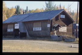
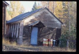
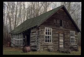
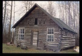
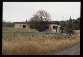
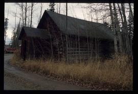
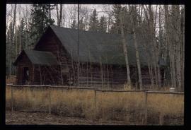
2012.13.1.20.23
·
Pièce
·
[2002 or 2003]
Fait partie de J. Kent Sedgwick fonds
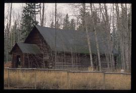
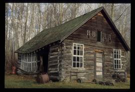
Image depicts a farm likely in Woodpecker, B.C.