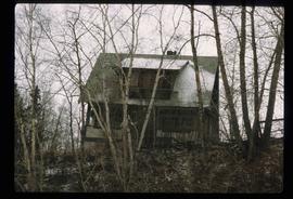
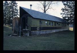
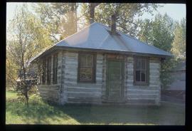
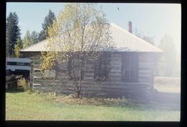
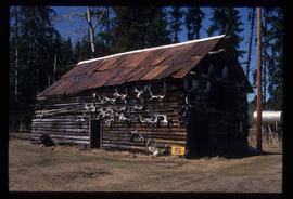
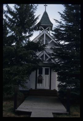
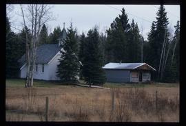
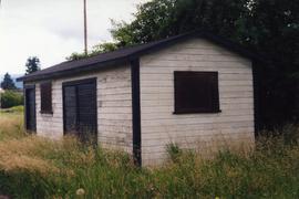
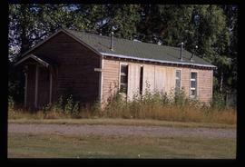
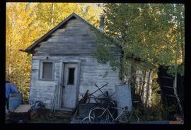
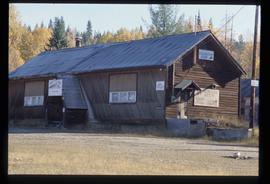
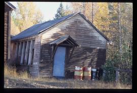
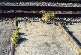
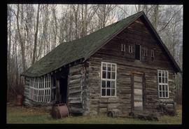
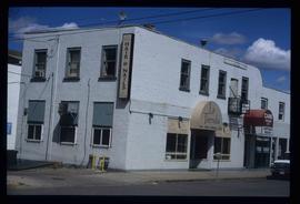
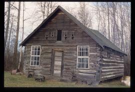
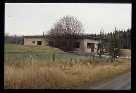
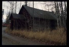
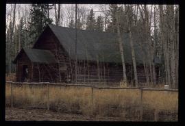
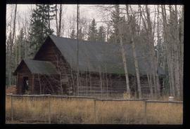
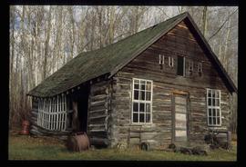
Mostrando 3218 resultados

Archival description
A House
2012.13.1.7.249 · Item · [2003?]
Parte de J. Kent Sedgwick fonds

Image depicts a house somewhere in Prince George, B.C.

Rail Car House
2012.13.1.20.18 · Item · [2002 or 2003]
Parte de J. Kent Sedgwick fonds

Image depicts a house made from a rail car in an uncertain location. It could be in Hixon, Red Rock, or Woodpecker, B.C.

Cabin
2012.13.1.49.06 · Item · 2002
Parte de J. Kent Sedgwick fonds

Image depicts a cabin somewhere in Mud River, B.C.

Cabin
2012.13.1.49.07 · Item · 2002
Parte de J. Kent Sedgwick fonds

Image depicts a cabin somewhere in Mud River, B.C.

Shed
2012.13.1.20.15 · Item · 2002
Parte de J. Kent Sedgwick fonds

Image depicts an old shed in Woodpecker, B.C.

Antler Cabin
2012.13.1.49.02 · Item · 2002
Parte de J. Kent Sedgwick fonds

Image depicts a wood cabin with antlers and a moose head somewhere in Mud River, B.C.

Shed
2012.13.1.20.16 · Item · 2002
Parte de J. Kent Sedgwick fonds

Image depicts an old shed in Woodpecker, B.C.

Snowmobile Club
2012.13.1.21.11 · Item · 2002
Parte de J. Kent Sedgwick fonds

Image depicts the Buckhorn Snowmobile Club, though it was formerly the Buckhorn school.

George Street
2012.13.1.7.220 · Item · May 2001
Parte de J. Kent Sedgwick fonds

Image depicts a view of George Street with the Prince George City Hall at the corner of George Street and 7th Avenue.

Highway 97
2012.13.1.7.224 · Item · May 2001
Parte de J. Kent Sedgwick fonds

Image depicts a view along Highway 97 in Prince George, B.C.

Cranbrook Mills?
2012.13.1.21.04 · Item · 2001
Parte de J. Kent Sedgwick fonds

Image depicts an old, collapsing cabin at an uncertain location; possibly Woodpecker B.C.

Fifth Avenue Intersection
2012.13.1.3.162 · Item · May 2001
Parte de J. Kent Sedgwick fonds

Image depicts the intersection of 5th Ave and Highway 97 looking northeast. Map coordinates 53°55'14.0"N 122°46'54.8"W

Fifth Avenue Intersection
2012.13.1.3.163 · Item · May 2001
Parte de J. Kent Sedgwick fonds

Image depicts the intersection of 5th Ave and Highway 97 looking northeast. Map coordinates 53°55'14.0"N 122°46'54.8"W

City Hall
2012.13.1.3.165 · Item · May 2001
Parte de J. Kent Sedgwick fonds

Image depicts Prince George City Hall. Map coordinates 53°54'46.3"N 122°44'41.9"W

View of Cenotaph from City Hall
2012.13.1.3.166 · Item · May 2001
Parte de J. Kent Sedgwick fonds

Image depicts a view of Prince George from City Hall looking northeast along George Street. Includes a back view of the Prince George cenotaph. Map coordinates 53°54'46.3"N 122°44'41.9"W