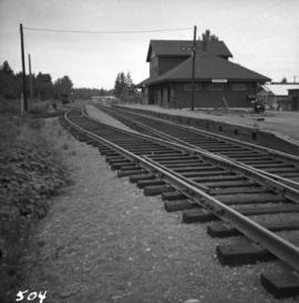
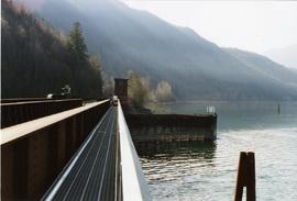
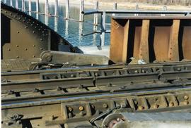
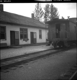
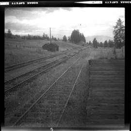
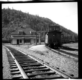
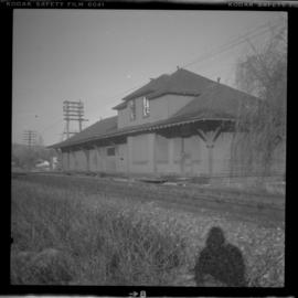
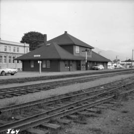
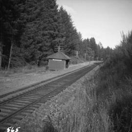
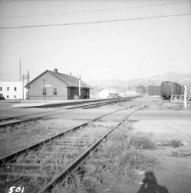
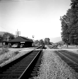
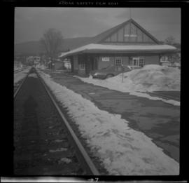
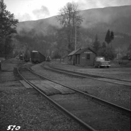
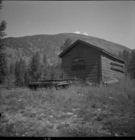
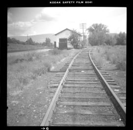
Photograph depicts the Courtenay terminus of the Esquimalt and Nanaimo Railway. The view is looking north.
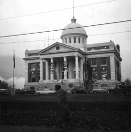
Photograph depicts a courthouse at Revelstoke, B.C. that was built in 1912-1913.
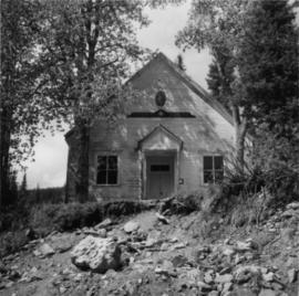
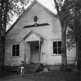
Photograph depicts a courthouse in Richfield, 1 mile above Barkerville. It was the only building left standing of the former mining community.
Photograph depicts a courthouse in Richfield, 1 mile above Barkerville. It was the only building left standing of the former mining community.
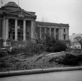
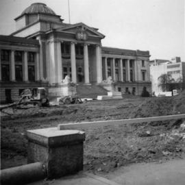
Photograph depicts a courthouse in Vancouver, B.C. Photo shows the ripped up forecourt.
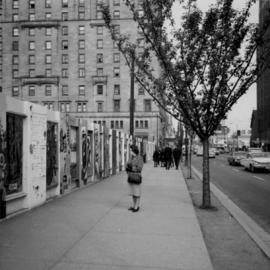
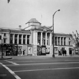
Photograph depicts a courthouse on Georgia St., looking west towards the Vancouver Hotel. The fence surrounding the courthouse is covered with paintings.
Photograph depicts a courthouse in Vancouver, B.C. Photo shows the ripped up forecourt.
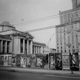
Photograph depicts a courthouse on Howe St. in Vancouver, B.C. There are paintings on the fence surrounding the forecourt.
Photograph depicts a courthouse in Vancouver, B.C. surrounded by a fence with paintings.
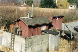
Photograph depicts a fuel storage shed in Harrison Mills.
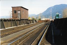
Photograph depicts a CPR swing bridge in Harrison Mills. Looking east, towards Kilby Store. Swing section in the foreground. It was rarely used.
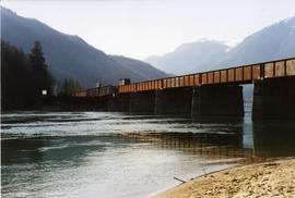
Photograph depicts a CPR swing bridge in Harrison Mills. Taken on the downstream side of Harrison River.
Photograph depicts a CPR swing bridge in Harrison Mills. Looking west, on the upstream side of the Harrison River.
Photograph depicts a swing bridge in Harrison Mills. It was rarely used, but all its controls were modern and maintained.
Photograph depicts the CPR at the Huntingdon/Sumas border (BC/Washington State border). A Mission way freight train is standing at about 5 pm, ready to return to Mission. The photo shows CP caboose #436733, built in 1920 out of wood. The border is about 10 ft. behind the camera.
Photograph depicts the CPR rail Belfort depot passing point, approximately 5 miles north of Princeton, on the Princeton to Penticton line. The view is looking south.
Photograph depicts the CPR depot at Chute Lake, on the Carmi Subdivision. It is located at mile 106.5 and 13.5 miles north of Penticton. The photo shows the passing track and the base of a former water tower is just behind the camera at the left. The rail here is dated 1942.
Photograph depicts the C.P.R. Cowichan depot on Vancouver Island. The view is looking south.
Photograph depicts the CPR depot at Armstrong. It is located about mile 32 from Sicamous on the Okanagan Subdivision. The view is looking south.
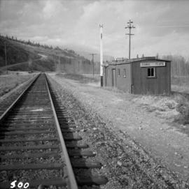
Photograph depicts the C.P.R. depot at Canal Flats on the Golden-Cranbrook line. The ex box car depot now is used only to make line phone calls.
Photograph depicts the CPR depot at Castlegar. The left-hand track leads to Trail and the right-hand track to Midway and Penticton. The picture was taken at about 1 pm with the Nelson to Midway way freight train standing at the depot. The caboose was built in 1913. The view is looking west.
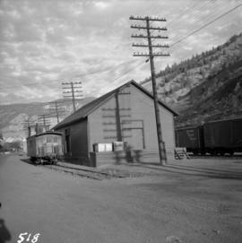
Photograph depicts the CPR depot at Chase, which is no longer in use.
Photograph depicts the C.P.R. depot at Duncan on Vancouver Island, with a view looking northeast.
Photograph depicts the C.P.R. depot at Goldstream on Vancouver Island. The view is looking towards Victoria.
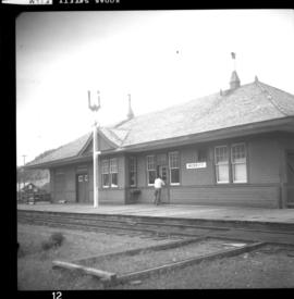
Photograph depicts the CPR depot at Merritt. When the Spences Bridge to Merritt branch line was first built its principal traffic was coal taken from the mines on the south edge of the city. As late as 1923 Middlesborough Mine produced 75,862 tons/year.
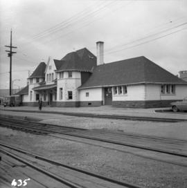
Photograph depicts the C.P.R. depot at New Westminster.
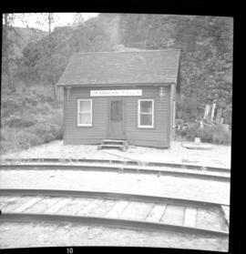
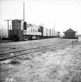
Photograph depicts the CPR depot at Okanagan Falls, located at mile 10.6 from Penticton. The depot is locked and unused but it used to be the southern terminus of Skaha Lake when the line first opened in 1922. When the route along the edge of Skaha Lake was built, the Okanagan lost its barge and car slips in 1931. There is also a water pump at the right of the depot.
Photograph depicts the C.P.R. depot at Oliver. There is a way freight stopped at the depot, either before or after switching.
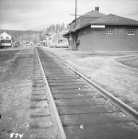
Photograph depicts the C.P.R. depot at Princeton, looking east.
Photograph depicts the CPR depot at Proctor, located at mile 117.5 from Cranbrook on the Nelson Subdivision. David Davies notes: "The view is looking east and shows the spur at right leading to a barge slip on Kootenay Lake. The majority of the spur rails here are dated 1908-1910." An updated description provided by a subject expert suggests that this view is actually looking west.
Photograph depicts the CPR depot at Salmon Arm. It is occupied and in use. The view is looking east.
Photograph depicts the C.P.R. depot at Slocan City. At the left beyond the photo is the ferry slip on Slocan Lake.
Photograph depicts the C.P.R. station at Spences Bridge. The view is looking south at a departing freight train.
Photograph depicts the C.P.R. depot at Spences Bridge. The view is looking south and shows a northbound freight train moving along the track.
Photograph depicts the C.P.R. engineering shops at Revelstoke. The view is looking north, with the line from Arrowhead behind the camera.
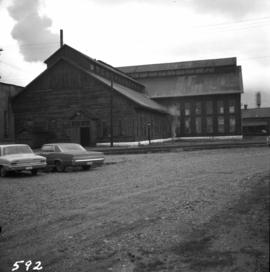
Photograph depicts the west side of the C.P.R. engineering shops at Revelstoke. The building appeared to house a machine shop and had no cars or locomotives inside.
Photograph depicts the C.P.R. freight depot at Spences Bridge. It also shows caboose #436581, built in 1913. The view is facing east towards Merritt.
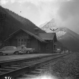
Photograph depicts the C.P.R. Glacier Station at the entrance to the west portal of Connaught tunnel under Rogers Pass. The station was built of logs about 1916-1920. The view is looking west.
Photograph depicts the CPR Faulder depot on the Kettle Valley Railway. It is located at mile 15.5 from Penticton, on the Princeton Subdivision.
Photograph depicts the CPR Kettle Valley Railway line at Osprey Lake, approximately 38.8 miles from Penticton, at the summit between Penticton and Princeton. The passing line was removed between 1956 and 1966. A small spur holding 5 cars remains and it was used to store a heavy crane to replace bridge members. The elevation at this point is 3, 606 ft.
Photograph depicts the C.P.R. depot at Kimberley. It is in the center of the town, looking up towards the Kimberley mine which is 1 mile away. The last passenger service (1 coach) between Kimberley and Cranbrook ran about 1955.
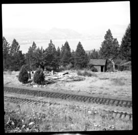
Photograph depicts the CPR line at Arawana, 5 miles northeast of Penticton and at mile 125.7 on the Carmi Subdivision. The photo shows the ruins of the station house and Okanagan Lake in the background. The passing loop in the foreground has been disconnected and partially dismantled. The rear track was used once or twice weekly by the way freight train between Penticton and Midway. The view is looking west.
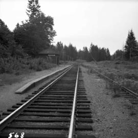
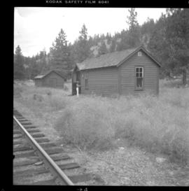
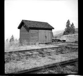
Photograph depicts the CPR line at Arawana, 5 miles northeast of Penticton. It was formerly a depot and water stop, then a passing loop and spur, and now nothing. The building in the photo is a typical track trolley shanty.
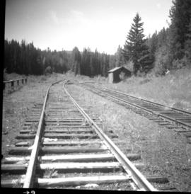
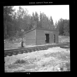
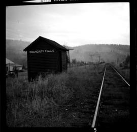
Photograph depicts the CPR line at Boundary Falls, which is at mile 121 from Nelson on the Boundary Subdivision. The view is looking west and it shows the former flag stop shelter.
Photograph depicts the CPR line at Coalmont, BC, located about 12 miles north of Princeton and at mile 82.2 from Penticton. Close by was the former Blakeburn Coal Mine, which operated until 1940. The view is looking south.
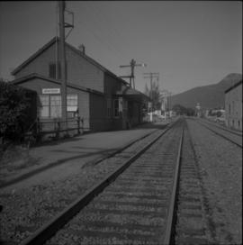
Photograph depicts the CPR line at Greenwood. There is no representative of the CPR in Greenwood now and the agency expired in June 1969. There appears to be 2 to 3 way freights per week from Nelson to Midway. The view is looking north and shows the depot house.
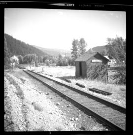
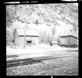
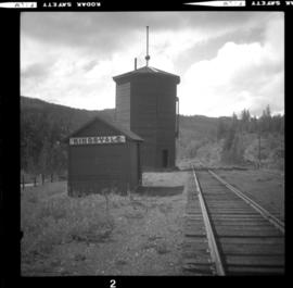
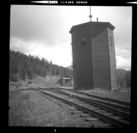
Photograph depicts the CPR line at Kingsvale, at mile 120.2 on the Princeton Subdivision between Brookmere and Merritt. It has a loop for 19 cars and sees one freight a day on Tuesday and Thursday. The view is looking north.
Photograph depicts the CPR line at Kingsvale, at mile 120.2 on the Princeton Subdivision between Brookmere and Merritt. It has a loop for 19 cars and sees one freight a day on Tuesday and Thursday.
Photograph depicts the CPR line at McConnell, BC, which is located at mile 55 on the Nelson Subdivision and 12 miles east of Creston. The view includes the signalman's shanty, which is still in occasional use.
Photograph depicts the CPR line at Notch Hill in the Shuswap. At one time this was a busy place, as helper engines were stationed here to push heavy trains over the hill. This spur is on the north side of the depot and has rails from 1902. The view is looking west, depicting the mainline to the left and just in view.
