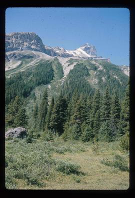
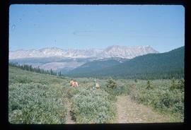
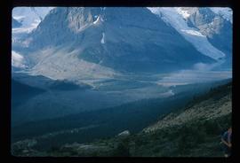
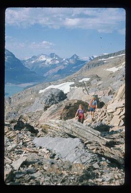
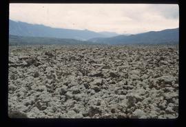
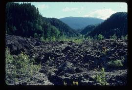
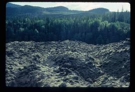
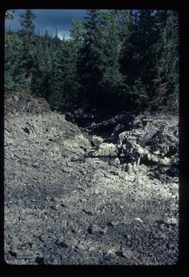
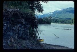
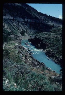
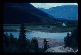
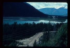
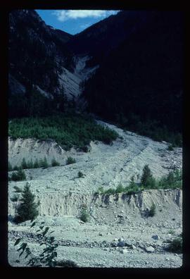
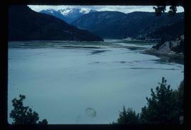
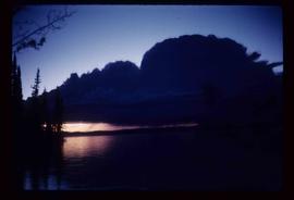
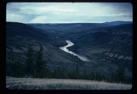
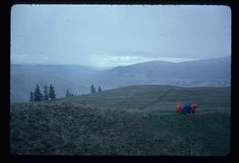
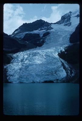
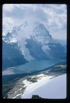
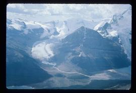
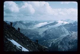
Image depicts the Berg Glacier at Berg Lake in the Mt. Robson Provincial Park.
Image depicts a group of unknown individuals with a mountain in the background.
Image depicts a mountain peak, possibly Mt. Robson.
Image depicts a group of hikers somewhere in the Mt. Robson Provincial Park.
Image depicts a view of a small valley in Mt. Robson Provincial Park.
Image depicts a pair of hikers and a view of Mt. Robson Provincial Park.
Image depicts a view of the Berg Lake and Glacier on the slope of Mt. Robson.
Image depicts what appears to be a receding glacier on the slopes of Mt. Robson.
Image depicts a view of Mt. Robson Provincial Park, with a group of hikers hiking up a mountain side in the foreground.
Image depicts what is possibly the Robson River.
Image depicts the McBride Hotel near the Mt. Robson Provincial Park.
File contains slides depicting New and Old Aiyansh, as well as the Tseax Lava Flow.
Image depicts New Aiyansh.
Image depicts the Tseax Lava Flow.
Image depicts a camper on the shore of what is possibly Melita Lake, near the Tseax Cone.
Image depicts the Tseax Lava Flow. The slide is labelled "pressure ridges."
Image depicts a stream running through the Tseax lava flow.
Image depicts what is possibly a section of the Tseax River.
Image depicts a creek somewhere near Bralorne, B.C.
Image depicts a view of a river near Bralorne, B.C.
Image depicts what is possibly the remaining traces of a small land or rock slide; located somewhere near Bralorne, B.C.
Image depicts a river somewhere near Bralorne, B.C.
Image depicts the Terzaghi Dam viewed from the downstream side near Bralorne B.C.
Image depicts Downton Lake, the Lajoie Dam reservoir.
Image depicts the Lajoie hydroelectric generating station at the Lajoie Dam on the Bridge River (view of powerhouse and tailrace from top of dam).
Image depicts a deer on a path somewhere near Bralorne, B.C.
Image depicts a campsite on the shore of Carp Lake.
Image depicts two boats on the shore of Carp Lake.
Image depicts a low rain cloud over Carp Lake.
Image depicts a dog standing on a path through the woods somewhere in Carp Lake Provincial Park.
Image depicts two dogs and a person walking on a path through the woods somewhere in Carp Lake Provincial Park.
Image depicts a dock on a lake in Carp Lake Provincial Park, possibly War Lake.
Image depicts a view of Takla Lake, "looking north-west."
Image depicts a cabin on the "west arm" of Takla Lake.
Image depicts Takla Lake west of Leo Creek.
Image depicts rail road tracks west of Takla Landing.
Image depicts an aerial view of a forest somewhere in the area of Divide Lake.
Image depicts an aerial view of the land in the area of Divide Lake.
Image depicts the "Divides Lake Waterfall."
Image depicts the "Divides Lake Waterfall" as well as a man in front of a helicopter in the foreground.
Image depicts the "Divides Lake Waterfall."
Image depicts a view of James Creek Valley.
Image depicts a view of the Herrick River in what is possibly McGregor Canyon; the slide is simply labelled "McG above Canyon."
Image depicts a group of people hiking, possibly somewhere near Riske Creek, B.C.
Image depicts what is possibly either the Fraser or Chilcotin River.
Image depicts four hikers putting on rain parkas.
Image depicts what is possibly the Chilcotin River.
Image depicts the Fraser River from Northwood Road in the Prince George area.