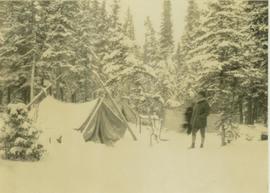
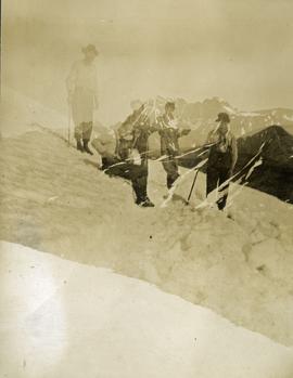
Photograph depicts two unidentified men standing at a snow-covered campsite with three tents and a forest in the background.
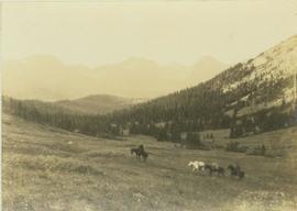
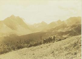
Photograph depicts two men on horseback and two fully laden pack horses riding across a grassy slope near a forest. In the background a mountain range is visible. The location of photo is between Wapiti Lake and Red Deer Valley.
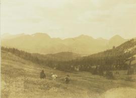
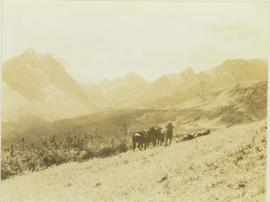
Photograph depicts two men on horseback and a full laden pack horse riding across a grassy slope with a forested mountain range in the background. The location of photo is between Wapiti Lake and Red Deer Valley.
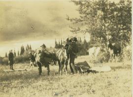
Photograph depicts two unidentified men loading up a pack horse in a field while two other men and several horses stand in the background.
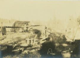
Photograph depicts two unidentified men cooking on a fire at a camp site with a forest visible in the background.
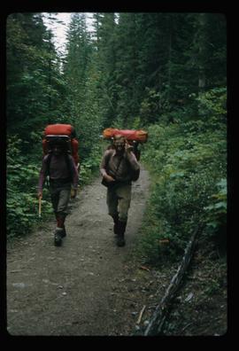
Image depicts two men on the hiking trail near Mt. Robson.
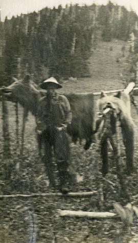
Photograph depicts skins of two grizzlies, heads attached. The skins are spread on elevated poles, a man stands beside the bear skins. There is an alpine meadow and scrub trees in the background.
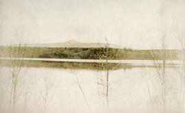
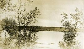
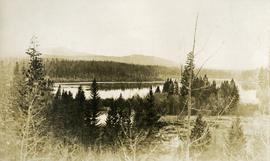
Photograph depicts a view of a lake, aspens in the foreground, low rolling hills in the background.
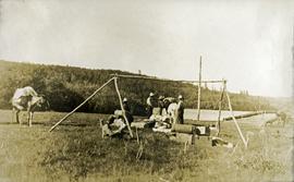
Photograph depicts five or more men standing near a tent frame. There are several packs on the ground and two horses loaded with packs. There is a bridge or dock on the right, a body of water and forested hills in the background.
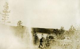
Photograph depicts a man standing behind a loaded wagon, water and rolling, forested hills in the background.
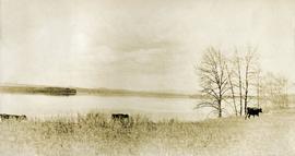
Photograph depicts three cows on the edge of a lake, grass in the foreground, low rolling hills in the background.
Photograph depicts a view of the lake, aspens in the foreground, low forested hills in the background.
Photograph depicts a view of a lake from above, aspens in the foreground, low rolling hills in the background.
Footage of a pack train along a river, a campsite, view of the mountains, and two grouse.
Location is believed to be the Rainbow Mountains.
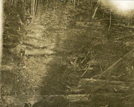
Photograph depicts a tangle of fallen logs and growing trees.
Photograph depicts trail making on summit between John Brown and Kitseucla creeks. Survey of 55th parallel.
Photograph depicts trail making on summit between John Brown and Kitseucla creeks. Survey of 55th parallel.
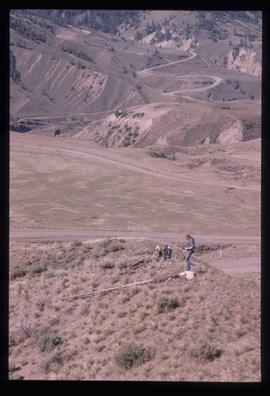
Image depicts a view of the scenery at an uncertain location with numerous individuals, possibly tourists, present. It is possibly somewhere near the Fraser River.
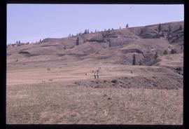
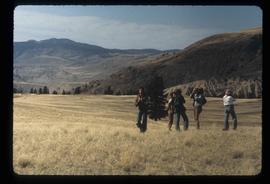
Image depicts a view of the landscape at an unknown location with a group of people, possibly tourists, present. It is possibly near the Fraser River.
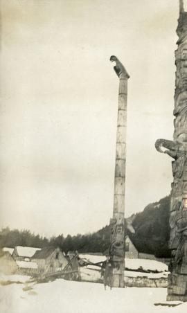
Photograph depicts two tall totem poles, buildings and mountain in the background.
Footage of Tom Engebretch loading a Honda motorbike with gun and gunny sack and driving off through a creek and up a hill.
Location is believed to be East Ranch, possibly located in near Bella Coola, Tweedsmuir Provincial Park or Chilcotin area.
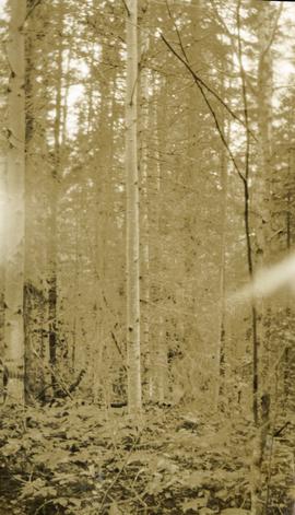
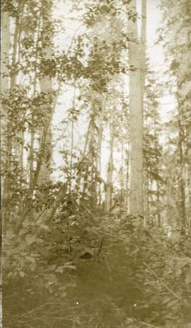
Photograph depicts lush undergrowth with tall trees.
Photograph depicts lush forest growth and tall trees.
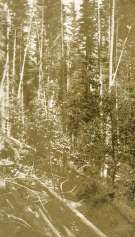
Photograph depicts tall timber and fallen trees.
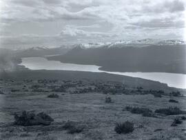
Photograph depicts a grass covered plateau overlooking a lake at the base of a snow covered mountain range.
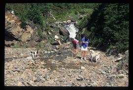
Image depicts three individuals and three dogs standing by a stream at an uncertain location, possibly somewhere in Bear Glacier Provincial Park. The woman in purple is possibly Sue Sedgwick.
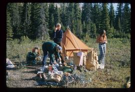
Image depicts three unknown individuals at a campsite.
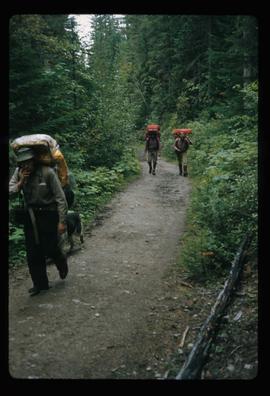
Image depicts three men and a dog on the hiking trail near Mt. Robson.
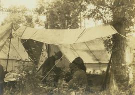
Photograph depicts three unidentified crew members seated under a canvas tarp in forested area.
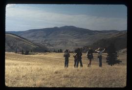
Photograph depicts three unidentified crew men searching for game through binoculars while their horses stand by. In the background a forested valley surrounded by a mountain range is visible.
Photograph depicts three unidentified crew men searching for game through binoculars while their horses stand by. In the background a forested valley surrounded by a mountain range is visible.
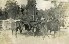
Photograph depicts six horses harnessed to a center pole. Three men attend the horses, two men with pitchforks stand atop a wagon loaded with cut grain stocks in the background.
File consists of material relating to Thomas Frederic Harper Reed who was a surveyor, Indian Agent, and telegraph operator in Telegraph Creek, Atlin, and Victoria. Materials include a summary titled "A Gentleman Adventurer" about Thomas Reed's life and career.
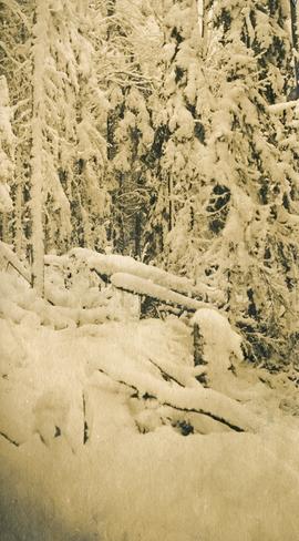
Photograph depicts heavy blanket of snow on fallen logs and forest.
Consists of 1 copy of article from National Geographic entitled "The Marvelous Maldive Islands : Sun-drenched Atolls in the Indian Ocean Hold a Seagirt Sultanate Where Phones Rarely Ring and Kites Fly from Office Windows," by Alan Villiers.
File consists of a first draft of Masters thesis entitled "The Grand Trunk Pacific in Prince George: A Study in Mismanagement, 1909-1918" by Rhys Pugh. Also includes printed emails and notes regarding the thesis.
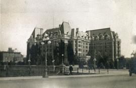
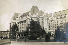
Photograph depicts the Empress Hotel in Victoria, BC.
Photograph depicts the Empress Hotel in Victoria, BC.
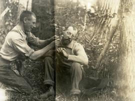
Photograph depicts one man kneeling the other sitting on the forest floor. The first man is giving the second man a shave.
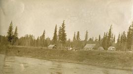
Photograph depicts a small cluster of buildings near the river bank.
File consists of 1 audiocassette of interview by Bob Harkins with Tommy Walker who discusses his exploration work in the Omenica and Spatsizi Park region and current exploration being undertaken by another explorer Fred
Julian Fry reminisces on his early life and acquaintances in Prince George during his work along the Blackwater Road in the early 1920's. Some notable references include: Blackwater Road, C.F.S. Baldy Hughes, Bill Comstock, Tom Cornell, Duncan MacKenzie, Ernest Levesque, [?] Hathaway, [?] Nelson, Ed and Julia Erickson, Blackwater Telegraph Station, Everett Vandenburg, and [?] Mackenzie.
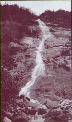
Photograph depicts narrow waterfall in steep cliff, trees and bushes visible above. Handwritten annotation visible on negative: "Waterfall on way up Taku River."
Image is one of 65 photos documenting a survey of the Canada-Alaska Boundary, Taku River area, May 23 to Oct. 15, 1906. This particular photo is one of 7 found in original enclosure with the following handwritten annotation: "Around River Taku and main camp on same." See also items 2006.20.3.35 - 2006.20.3.41.
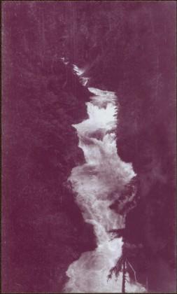
Photograph depicts waterfall between rocky cliffs, trees on either side and in foreground.
Image is one of 65 photos documenting a survey of the Canada-Alaska Boundary, Taku River area, May 23 to Oct. 15, 1906.
This particular photo is one of 13 found in original enclosure with the following handwritten annotation: "SOME OTHERS." See also items 2006.20.3.23 - 2006.20.3.34.
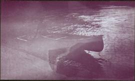
Water spans foreground, wind-blown trees stand on shore in background. Mountains visible in distance.
Image is one of 65 photos documenting a survey of the Canada-Alaska Boundary, Taku River area, May 23 to Oct. 15, 1906. This particular photo is one of 5 found in original enclosure with the following handwritten annotation: "Boundary No.2 camera Sta. Twin Lake & Glacier.” See also items 2006.20.3.42 - 2006.20.3.46.
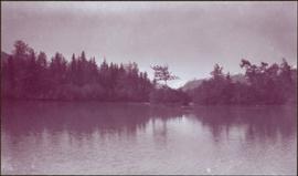
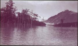
Water spans foreground, trees can be seen in water, trunks submerged. Opposite shore and mountains in background.
Image is one of 65 photos documenting a survey of the Canada-Alaska Boundary, Taku River area, May 23 to Oct. 15, 1906. This particular photo is one of 5 found in original enclosure with the following handwritten annotation: "Boundary No.2 camera Sta. Twin Lake & Glacier.” See also items 2006.20.3.42 - 2006.20.3.45.
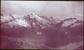
Photograph depicts mountain range, river or glacier visible below.
Image is one of 65 photos documenting a survey of the Canada-Alaska Boundary, Taku River area, May 23 to Oct. 15, 1906. This particular photo is one of 10 found in original enclosure with the following handwritten annotation: "From [Wahut?]-Azmuth and Koshu.” See also items 2006.20.3.47 - 2006.20.3.56.
Image is one of 65 photos documenting a survey of the Canada-Alaska Boundary, Taku River area, May 23 to Oct. 15, 1906.
This particular photo is one of 13 found in original enclosure with the following handwritten annotation: "SOME OTHERS." See also items 2006.20.3.22 - 2006.20.3.34.
