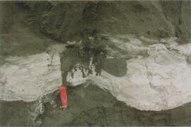
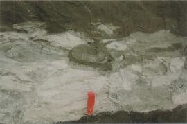
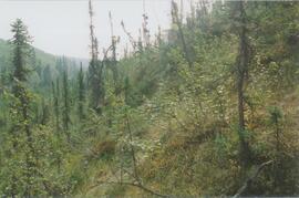
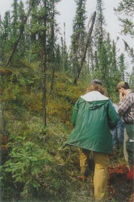
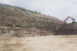
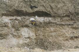
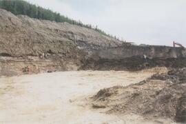
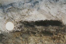
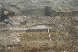
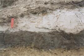
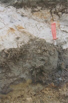
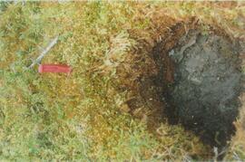
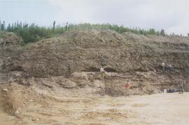
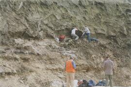
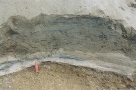
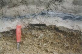
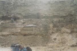
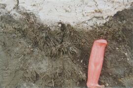
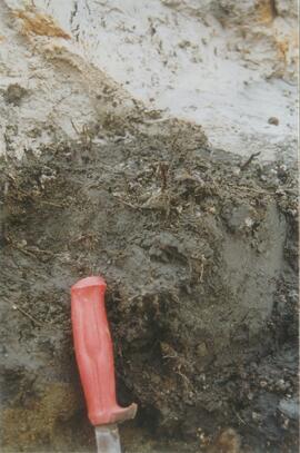
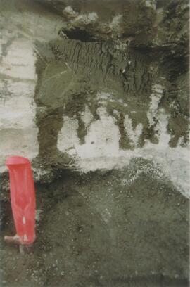
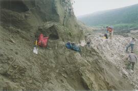
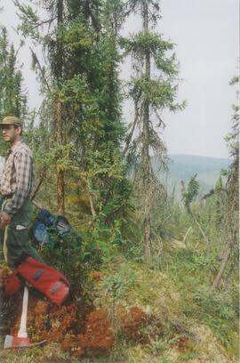
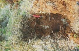
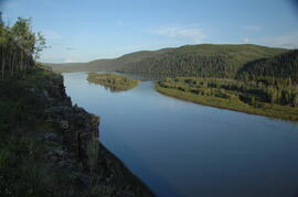
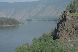
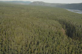
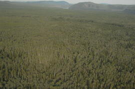
This file contains the following photographs in both print photograph and negative format:
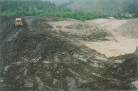
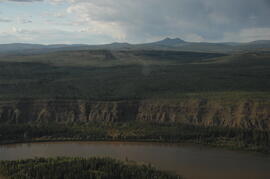
Cultus Bay Rd.
(landscape views looking W from road; lake is likely at ~61°4’ 10.5”N, 138°22’ 31.5”)
Print roll 12, #0A-2A
Corresponding slides: Slide roll 7, #23-22
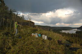
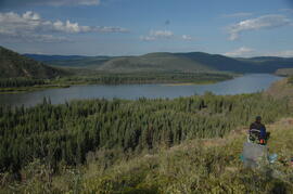
Keyhole Pond (landscape views)
Print roll 12, #3A-4A
Y04-23 (Saddle W of Keyhole Pond)
Date: July 22, 2004
Location Coordinates: 61º 4’ 46.5” N, 138º 22’ 32.2’ W, 828 m asl (± 8.0 m)
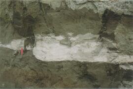
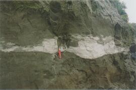
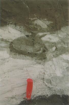
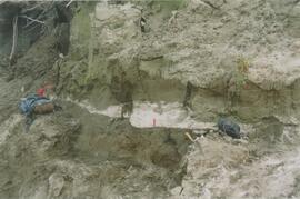
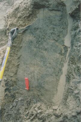
Site Description: 7º, NW-facing slope. Cumulic profile in colluviated loess with White River tephra at 10 cm, brownish paleosol at 23-27 cm, glaciofluvial sand at 50 cm.
Sample Depths & Descriptions: Y04-23-01 – charcoal at 23-27 cm, immediately above paleosol
Print roll 12, #5A-6A
(Location not recorded: Print roll 12, #7A-8A)
Y04-24 (W side of Rat Lake)
Date: July 22, 2004
Location Coordinates: 61º 9’ 54.6” N, 138º 25’ 41.6” W, 807.7 m asl (± 13.5 m)
Site Description: 23° slope, NE aspect; cumulic profile with White R ash at 20 cm; no obvious charcoal bands.
Print roll 12, #9A-10A (9A print is missing)
"Ian's Lake"(W of NW corner of Rat Lake)
Location Coordinates: 61º 10’ 1.4” N, 138º 25’ 47.7” W, 773.4 m asl (± 9.8 m) (coordinates are for ridge crest on NE side of lake)
Site Description: basal date 700 BP in terrestrial sediments; NE side has grassy 30°slope
Print roll 12, #11A
Y04-25 (S shore of “Ian’s Lake”, NW of Rat Lake)
Date: July 22, 2004
Location Coordinates: 61º 10’ 0.7” N, 138º 25’ 49.2” W, 781.8 m asl (± 8.8 m)
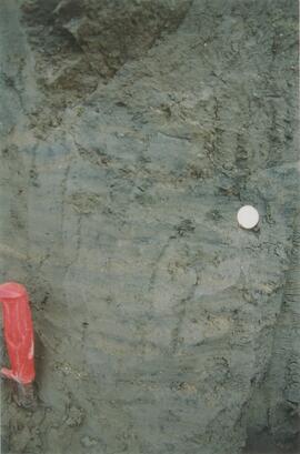
Site Description: 35 cm of colluviated loess over gravelly sandy glaciofluvial; no visible charcoal bands; buried soil at 25-35 cm; White R ash at 6-8 cm.
Print roll 12, #12A-13A
Y04-26 (EW)
Date: July 23, 2004
Location Coordinates: 61º 1’ 59.8” N, 138º 21’ 53.6” W, 836.1 m asl (± 7.7 m)
Site Description: grassland at crest of 33° terrace scarp, S aspect.
Sample Depths & Descriptions: Y04-26-01 – 0-10 cm
Print roll 12, #14A-15A
Corresponding slides: Slide roll 7, #21-20
Y04-27
Date: July 23, 2004
Location Coordinates: 61º 2’ 0.9” N, 138º 21’ 53.6” W, 843.6 m asl (± 5.8 m) (~ 35 m N of Y04-26)
Site Description: spruce forest on terrace surface; level.
- 0-8 cm - Loess-rich forest floor; strongly calcareous.
- 8-13 cm - Bmk
- 13-15 cm - Discontinuous pockets of White R ash
- 15-35 cm - Bmk (Slims soil) – no charcoal visible
- 35-75 cm - Gray calcareous loess.
- 75 cm+ - Gravelly sandy glaciofluvial deposit.
Print roll 12, #16A-17A
Corresponding slides: Slide roll 7, #19-18
Y04-28 (EW)
Date: July 23, 2004
Location Coordinates: 61º 2’ 34.4” N, 138º 21’ 57.0” W, 820.2 m asl (± 6.1 m)
Site Description: grassland on esker crest W of Jenny L; 30° slope, SW aspect
Sample Depths & Descriptions: Y04-28-01: 0-10 cm
Print roll 12, #18A-19A
Corresponding slides: Slide roll 7, #17-16
Y04-30 (between eskers, W of Jenny Lake)
Date: July 23, 2004
Location Coordinates: 61º 2’ 31.6” N, 138º 21’ 52.3’ W, 817.6 m asl (± 6.1 m)
Site Description: Level (base of saddle). Colluviated loess to 90 cm+, with White River tephra at 15-17 cm, brownish paleosol at 17-35 cm, underlain by turbated Bmku with multiple charcoal-rich bands.
Sample Depths & Descriptions:
- Y04-30-01 – charcoal at 13 cm (above WR tephra)
- Y04-30-02 – charcoal at 22 cm (below WR tephra)
- Y04-30-03 – charcoal at 75 cm
Print roll 12, #20A-22A
Corresponding slides: Slide roll 7, #15-13
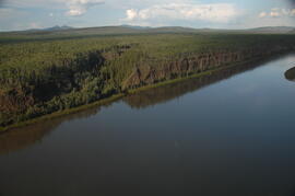
Jenny Lake (landscape views)
Print roll 12, #23A-24A
This file contains the following photographs in both print photograph and negative format:
Y04-31 (EW)
Date: July 23, 2004
Location Coordinates: 61º 3’ 9.2” N, 138º 21’ 30.3’ W, 837.2 m asl (± 6.4 m)
Site Description: crest of N-S esker ridge
Sample Depths & Descriptions: Y04-31-01: 0-10 cm
Print roll 13, #1-3
Corresponding slides: Slide roll 7, #12-11
Y04-32
Date: July 23, 2004
Location Coordinates: 61º 3’ 7.4” N, 138º 21’ 27.7’ W, 823.7 m asl (± 13.7 m)
Site Description: toeslope on NE side of same ridge as for Y04-31; 20° slope, NE aspect; Cryosol with permafrost at 34 cm; 30 cm of forest floor organic horizons; abundant charred wood fragments at top of mineral soil & in lowest part of organic horizon.
Print roll 13, #4-5
Corresponding slides: Slide roll 7, #10-9
Y04-34
Date: July 23, 2004
Location Coordinates: 61º 3’ 47.7” N, 138º 21’ 2.5’ W, 838 m asl
Site Description: Toe of 30º, W-facing grassland slope. Colluviated loess with White River tephra at 8-9 cm, brownish paleosol (9-35 cm), overlying sandy glaciofluvial at 35-70 cm+.
Sample Depths & Descriptions: Y04-34-01: charcoal at 34 cm
Print roll 13, #6-7
Corresponding slides: Slide roll 7, #8-7
Y04-35 (EW)
Date: July 23, 2004
Location Coordinates: 61º 3’ 49.9” N, 138º 21’ 1.1” W, 854.4 m asl (± 6.3 m)
Sample Depths & Descriptions: Y04-35-01: 0 – 10 cm
Print roll 13, #8-10 (Location not recorded: Print roll 13, #11-12)
Corresponding slides: Slide roll 7, #6-5
Y04-36
Date: July 23, 2004
Location Coordinates: 61º 8’ 11.5” N, 138º 25’ 50.8” W, 825.6 m asl (± 14.5 m)
Site Description:
- 10-0 cm - LF
- 0-15 cm - Bmk1 (7.5YR 4/6 m)
- 15-28 cm - Bmk2 (2.5Y 4/3 m)
- 28-48 cm - Ck
- 48-55 cm+ - IICk (sandy gravelly glaciofluvial)
- No charcoal visible in mineral horizons
Print roll 13, #13-14
Corresponding slides: Slide roll 7, #4-3
Y04-37
Date: July 23, 2004
Location Coordinates: (roadcut adjacent to Y04-36)
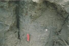
Site Description: multiple colour bands in Slims soil; some charcoal blobs (not sampled) which are right size to have been roots.
Print roll 13, #15-19
Corresponding slides: Slide roll 7, # 2-1
Slide roll contains the following photographs:
Thorsen Bay
Print roll 11, #01-2A; slide roll 6, #12-10
Y04-19 (27.5 km on Cultus Bay Rd., near Thorsen Bay)
Date: July 22, 2004
Location Coordinates: 61º 12’ 3.0” N, 138º 28’ 58.3’ W, 819 m asl (± 18.9 m)
Site Description: Roadcut at base of 30º, E-facing slope. Colluviated loess overlies sandy glaciofluvial at 120 cm. Prominent paleosol with “cumulic” B horizon at 80-120 cm, with strong effervescence throughout exposure.
Slide roll 6, #9-7 (profile), #6-1 (landscape)
Corresponding prints and negatives: Print roll 11, #3A-5A (profile), #6A-10A (landscape)
Slide roll contains the following photographs:
Y04-19 (27.5 km on Cultus Bay Rd., near Thorsen Bay)
Date: July 22, 2004
Location Coordinates: 61º 12’ 3.0” N, 138º 28’ 58.3’ W, 819 m asl (± 18.9 m)
Site Description: Roadcut at base of 30º, E-facing slope. Colluviated loess overlies sandy glaciofluvial at 120 cm. Prominent paleosol with “cumulic” B horizon at 80-120 cm, with strong effervescence throughout exposure.
Sample Depths & Descriptions: Y04-19-01 – charcoal at 95 cm
Roadcut opposite ~ 30 m to NE on grassy S aspect (10° slope) with 15-20 cm of calcareous loess and sand over 2 cm White River ash; strongly effervescent throughout.
Slide roll 7, #36-35 (profile)
Corresponding prints and negatives: Print roll 11, #11A-12A (profile)
Thorsen Bay landscape
Slide roll 7, #34-32
Corresponding prints and negatives: Print roll 11, #13A-16A
Y04-20B
Date: July 22, 2004
Location Coordinates: 61º 10’ 16.5” N, 138º 26’ 18.7’ W, 797.5 m asl (± 5.9 m)
Site Description: wind-eroded Slims soil on glaciolacustrine with contorted bedding (exposed on blown-out roadcut); calcareous to surface; White R ash pockets at 10-20 cm; S aspect, 5° slope.
Slide roll 7, #31-26
Corresponding prints and negatives: Print roll 11, #17A-21A
Y04-22
Date: July 22, 2004
Location Coordinates: 61º 9’ 39.24” N, 138º 25’ 7.8’ W, 790.6 m asl (± 6.4 m)
Site Description: toe of 30° slope, W aspect (grassy slope with poplar at toe); 1.0-1.2 of colluviated loess over gravelly glaciofluvial with buried soil at 70-80 cm
Slide roll 7, #25-24
Corresponding prints and negatives: Print roll 11, #22A-24A
Cultus Bay Rd.
(landscape views looking W from road; lake is likely at ~61°4’ 10.5”N, 138°22’ 31.5”)
Slide roll 7, #23-22
Corresponding prints and negatives: Print roll 12, #0A-2A
Y04-26 (EW)
Date: July 23, 2004
Location Coordinates: 61º 1’ 59.8” N, 138º 21’ 53.6” W, 836.1 m asl (± 7.7 m)
Site Description: grassland at crest of 33° terrace scarp, S aspect.
Sample Depths & Descriptions: Y04-26-01 – 0-10 cm
Slide roll 7, #21-20
Corresponding prints and negatives: Print roll 12, #14A-15A
Y04-27
Date: July 23, 2004
Location Coordinates: 61º 2’ 0.9” N, 138º 21’ 53.6” W, 843.6 m asl (± 5.8 m) (~ 35 m N of Y04-26)
Site Description: spruce forest on terrace surface; level.
- 0-8 cm - Loess-rich forest floor; strongly calcareous.
- 8-13 cm - Bmk
- 13-15 cm - Discontinuous pockets of White R ash
- 15-35 cm - Bmk (Slims soil) – no charcoal visible
- 35-75 cm - Gray calcareous loess.
- 75 cm+ - Gravelly sandy glaciofluvial deposit.
Slide roll 7, #19-18
Corresponding prints and negatives: Print roll 12, #16A-17A
Y04-28 (EW)
Date: July 23, 2004
Location Coordinates: 61º 2’ 34.4” N, 138º 21’ 57.0” W, 820.2 m asl (± 6.1 m)
Site Description: grassland on esker crest W of Jenny L; 30° slope, SW aspect
Sample Depths & Descriptions: Y04-28-01: 0-10 cm
Slide roll 7, #17-16
Corresponding prints and negatives: Print roll 12, #18A-19A
Y04-30 (between eskers, W of Jenny Lake)
Date: July 23, 2004
Location Coordinates: 61º 2’ 31.6” N, 138º 21’ 52.3’ W, 817.6 m asl (± 6.1 m)
Site Description: Level (base of saddle). Colluviated loess to 90 cm+, with White River tephra at 15-17 cm, brownish paleosol at 17-35 cm, underlain by turbated Bmku with multiple charcoal-rich bands.
Sample Depths & Descriptions:
- Y04-30-01 – charcoal at 13 cm (above WR tephra)
- Y04-30-02 – charcoal at 22 cm (below WR tephra)
- Y04-30-03 – charcoal at 75 cm
Slide roll 7, #15-13
Corresponding prints and negatives: Print roll 12, #20A-22A
Y04-31 (EW)
Date: July 23, 2004
Location Coordinates: 61º 3’ 9.2” N, 138º 21’ 30.3’ W, 837.2 m asl (± 6.4 m)
Site Description: crest of N-S esker ridge
Sample Depths & Descriptions: Y04-31-01: 0-10 cm
Slide roll 7, #12-11
Corresponding prints and negatives: Print roll 13, #1-3
Y04-32
Date: July 23, 2004
Location Coordinates: 61º 3’ 7.4” N, 138º 21’ 27.7’ W, 823.7 m asl (± 13.7 m)
Site Description: toeslope on NE side of same ridge as for Y04-31; 20° slope, NE aspect; Cryosol with permafrost at 34 cm; 30 cm of forest floor organic horizons; abundant charred wood fragments at top of mineral soil & in lowest part of organic horizon.
Slide roll 7, #10-9
Corresponding prints and negatives: Print roll 13, #4-5
Y04-34
Date: July 23, 2004
Location Coordinates: 61º 3’ 47.7” N, 138º 21’ 2.5’ W, 838 m asl
Site Description: Toe of 30º, W-facing grassland slope. Colluviated loess with White River tephra at 8-9 cm, brownish paleosol (9-35 cm), overlying sandy glaciofluvial at 35-70 cm+.
Sample Depths & Descriptions: Y04-34-01: charcoal at 34 cm
Slide roll 7, #8-7
Corresponding prints and negatives: Print roll 13, #6-7
Y04-35 (EW)
Date: July 23, 2004
Location Coordinates: 61º 3’ 49.9” N, 138º 21’ 1.1” W, 854.4 m asl (± 6.3 m)
Sample Depths & Descriptions: Y04-35-01: 0 – 10 cm
Slide roll 7, #6-5
Corresponding prints and negatives: Print roll 13, #8-10
(Location not recorded: Print roll 13, #11-12)
Y04-36
Date: July 23, 2004
Location Coordinates: 61º 8’ 11.5” N, 138º 25’ 50.8” W, 825.6 m asl (± 14.5 m)
Site Description:
- 10-0 cm - LF
- 0-15 cm - Bmk1 (7.5YR 4/6 m)
- 15-28 cm - Bmk2 (2.5Y 4/3 m)
- 28-48 cm - Ck
- 48-55 cm+ - IICk (sandy gravelly glaciofluvial)
- No charcoal visible in mineral horizons
Slide roll 7, #4-3
Corresponding prints and negatives: Print roll 13, #13-14
Y04-37
Date: July 23, 2004
Location Coordinates: (roadcut adjacent to Y04-36)
Site Description: multiple colour bands in Slims soil; some charcoal blobs (not sampled) which are right size to have been roots.
Slide roll 7, # 2-1
Corresponding prints and negatives: Print roll 13, #15-19
Tarnocai and Smith recorded their site locations on NTS topographical maps, and provided a set of scans of these maps.
Scanned topographical maps with Tarnocai & Smith site locations:
ARCTIC RED RIVER.TIF
AUSTRALIA MOUNTAIN.TIF
CARMACKS.TIF
CLEAR CREEK.TIF
COLDSPRING MOUNTAIN.TIF
DAWSON-1.TIF
DAWSON-2.TIF
DAWSON-3.TIF
ETHEL LAKE.TIF
FLAT CREEK.TIF
GARNER CREEK.TIF
GRAND FORKS.TIF
GRAND VALLEY CREEK.TIF
GRAVEL CREEK.TIF
GRAVEL LAKE.TIF
HART RIVER.TIF
LARSEN CREEK.TIF
LEE CREEK.TIF
MAYO.TIF
McQUESTEN-1.TIF
McQUESTEN-2.TIF
McQUESTEN-3.TIF
MEDRICK CREEK.TIF
MINTO LAKE.TIF
MOOSE CREEK.TIF
OGILVIE RIVER.TIF
PIRATE CREEK.TIF
RABBIT CREEK-1.TIF
RABBIT CREEK-2.TIF
REID LAKES.TIF
ROSEBUD CREEK.TIF
SEATTLE CREEK.TIF
SPRAGUE CREEK.TIF
STEWART CROSSING.TIF
STEWART RIVER.TIF
SUMMIT LAKE.TIF
SWEDE CREEK.TIF
WILLOW LAKE.TIF
This PDF contains site location data, annotated soil profile photographs, and AMS radiocarbon dates for 2004 soil charcoal samples collected at Kluane Lake, Yukon Territory.
In July 2009, Dr. Paul Sanborn undertook the first soils field research at the Fort Selkirk volcanic field in central Yukon, with helicopter support and funding from the Yukon Geological Survey. This file includes the following data sets gathered from the research:
- Ft Selkirk 110114069.xls [particle size analysis data, CANTEST]
- S1090final.xlsx [chemical analysis data, Ministry of Forests & Range, Analytical Chemistry Laboratory]
- S1112final.xlsx [chemical analysis data, Ministry of Forests & Range, Analytical Chemistry Laboratory]
- Ft Selkirk 2009 soils data (updated Sept 15, 2010 and April 10, 2023).xls [consolidated lab data for all 2009 samples]
