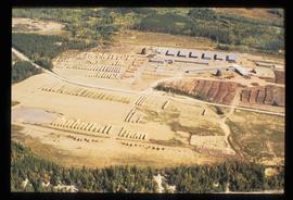
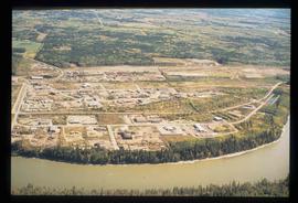
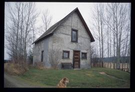
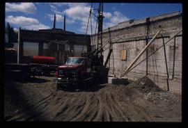
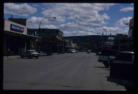
Image depicts a sawmill in the Danson Industrial Park in Prince George, B.C.
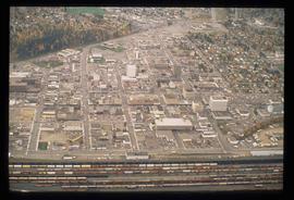
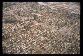
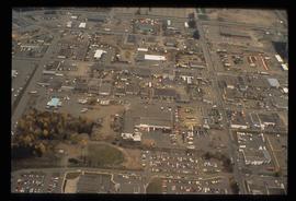
Image depicts an aerial view of downtown Prince George, B.C.
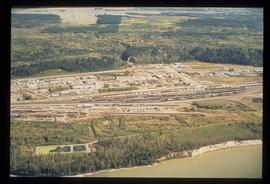
Image depicts an aerial view of the BC Rail, in Prince George, B.C. It is now known as CN Rail.
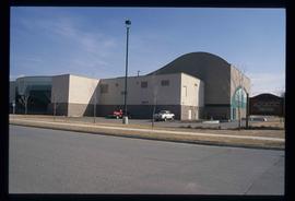
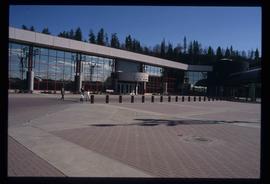
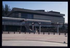
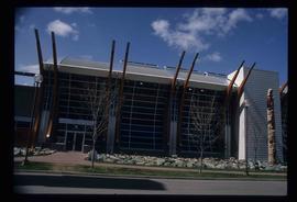
Image depicts the Aquatic Centre in Prince George, B.C.
Image depicts the Prince George Civic Centre.
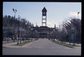
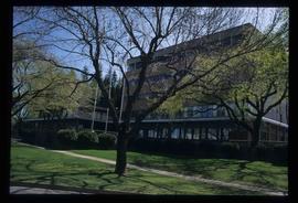
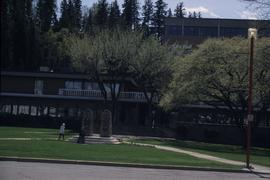
Image depicts the Prince George Public Library.
File contains slides depicting images of Prince George ranging from 1975 to 2003.
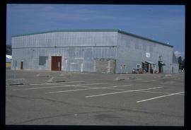
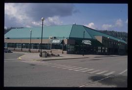
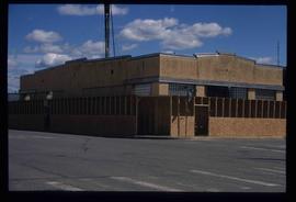
Image depicts the Exhibition Sports Centre, which used to be a drill hall army base, on Keller Street in Prince George, B.C.
File contains slides depicting maps and site plans for the city of Prince George.
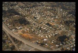
Image depicts an aerial view of a Prince George residential section between Highway 97, Carney Street and 10th Ave looking north. Map coordinates 53°54'54.0"N 122°46'00.4"W
Image depicts the Carter Industrial Area in Prince George, B.C.
Image depicts Glenview Drive near the Hart Highway in Prince George, B.C.
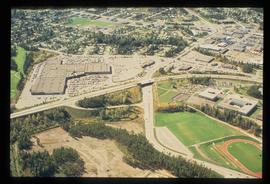
Image depicts an aerial view of Pine Centre Mall and Masich Place Stadium in Prince George, B.C.
Image depicts a the Danson Industrial Park in Prince George, B.C.
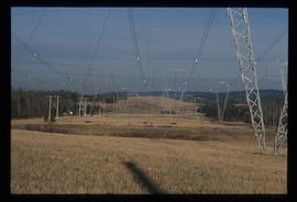
Image depicts the power lines in the Hixon area south of Prince Georg, B.C.
Image depicts the Prince George Multiplex.
Image depicts the Prince George Public Library from 7th Ave.
File contains slides depicting the grade for what was formerly the Pacific Great Eastern, and is now known as British Columbia Railway.
Image depicts a building which is a part of the Studio 2880 Arts Complex on 15th Avenue in Prince George, B.C.
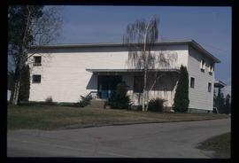
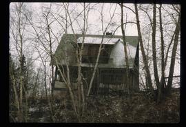
Image depicts a house somewhere in Prince George, B.C.
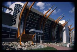
Image depicts the Two Rivers Art Gallery in Prince George, B.C.
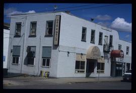
Image depicts the La Tienda Hair and Nail Salon on an uncertain street somewhere in Prince George, B.C.
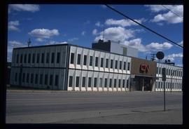
Image depicts the CN Building in Prince George, B.C.
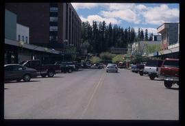
Image depicts a view of George Street with the Prince George City Hall at the corner of George Street and 7th Avenue.
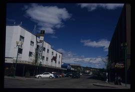
Image depicts a view of George Street with the Prince George Hotel.
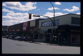
Image depicts a view of the corner of 3rd Avenue and Brunswick Street in Prince George, B.C.
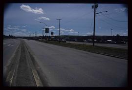
Image depicts a view along Highway 97 in Prince George, B.C.
Image depicts the Two Rivers Art Gallery in Prince George, B.C.
Image depicts City Hall in Prince George, B.C.
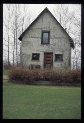
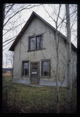
Image depicts an old Swedish style house somewhere in the Pineview subdivision in Prince George, B.C.
Image depicts an old Swedish style house somewhere in the Pineview subdivision in Prince George, B.C.
Image depicts an old Swedish style house somewhere in the Pineview subdivision in Prince George, B.C.
Fonds consists of photographs, scrapbooks of newspaper clippings and memorabilia, correspondence, reports and other textual material. The photographs relate to Mr. Williston’s life from childhood to the late 1990s, the scrapbooks document Mr. Williston’s years in political office, and the textual materials relate to both Mr. Williston’s public life and private interests.
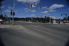
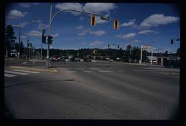
Sem títuloImage depicts the intersection of 5th Ave and Highway 97 looking northeast. Map coordinates 53°55'14.0"N 122°46'54.8"W
Image depicts the intersection of 5th Ave and Highway 97 looking northeast. Map coordinates 53°55'14.0"N 122°46'54.8"W
Image depicts Prince George City Hall. Map coordinates 53°54'46.3"N 122°44'41.9"W
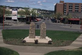
Image depicts a view of Prince George from City Hall looking northeast along George Street. Includes a back view of the Prince George cenotaph. Map coordinates 53°54'46.3"N 122°44'41.9"W
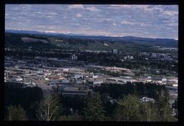
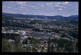
Image depicts Prince George, with the picture looking North-Northeast from University Way.
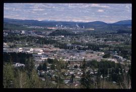
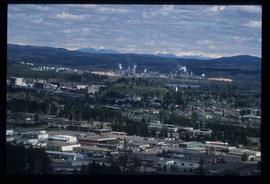
Image depicts Prince George from University Way, with the P.G.I pulp mill in the distance.
Image depicts an unknown building under construction at the corner of 6th Avenue and Dominion Street in Prince George, B.C.
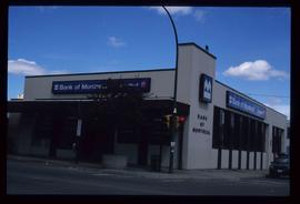
Image depicts the Bank of Montreal in Prince George, B.C.
Image depicts the Javva Mugga Mocha Cafe in Prince George, B.C.
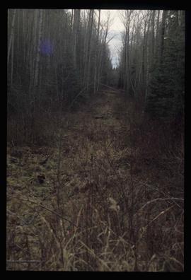
Image depicts a view of the south direction of the grade for the British Columbia Railway, which was formerly known as the Pacific Great Eastern until 1972. It is at an uncertain location, possibly near Woodpecker or Prince George.
Image depicts Prince George from University Way, with the P.G.I. Pulp Mill in the distance.
Image depicts Prince George from University Way, with the P.G.I. Pulp Mill in the distance.
Index print contains 25 photographs of a yard, a blue house and 5 portraits. The photographs were taken by Kent Sedgwick.
Photograph depicts a mayoral portrait of John Backhouse.
Image depicts an unknown building under construction at the corner of 6th Avenue and Dominion Street in Prince George, B.C.
Image depicts a view of 3rd Avenue with the Columbus Hotel prior to the fire that destroyed it in 2008.
