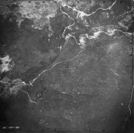
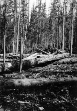
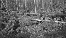
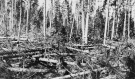
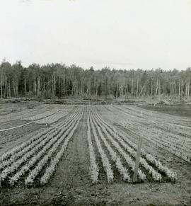
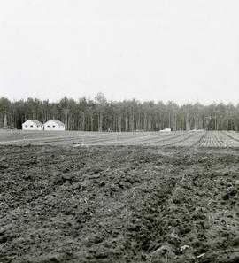
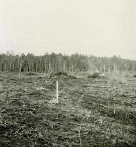
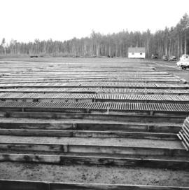
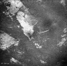
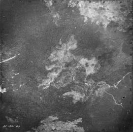
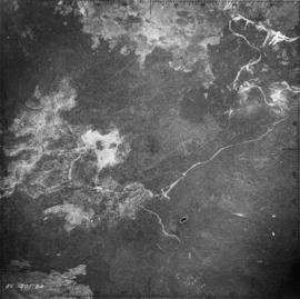
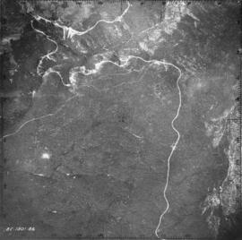
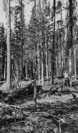
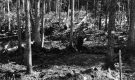
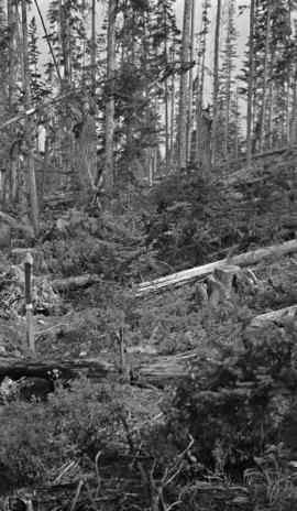
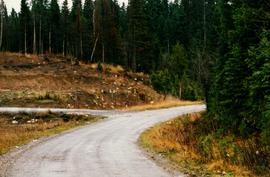
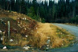
Map of Timber Sale X72108 shows area to be scarified, as well as previously logged areas. Location is outside Prince George in the Upper Fraser area near Kenneth Creek.
Logging plan of Sinclair Spruce Lumber Company's T.S.X. 73378 at Hubble Creek shows areas to be cut.
Caption of back of photograph states: "R877 Forest Branch Cabin X9696"
Photographer's photo number R883. Caption on back of photograph states: "Typical patch of old windfall in cutting in X9696."
Photographer's photo number R884. No caption on back of photograph to glean further information. Title provided based on contextual information from related photographs and documents.
Photographer's photo number R885. Caption on back of photograph states: "Plot '9' X9696 --McCulloch"
Caption on back of photograph states: "Facing W on Plot 13 showing windfall"
No caption on back of photograph to glean further information. Title provided based on contextual information from related photographs and documents. Photograph may depict windfall on Plot 13 similar to the previous photograph 2007.1.45.49.38.
Item is a photocopied map of the Aleza Lake area annotated to show transects.
Item is a photocopied and annotated Aleza Lake Forest map with forest cover labels.
Item is a photocopied Aleza Lake Forest map with forest cover labels, annotated to show 1995 sample transects.
Caption describing photograph: "Bark habit at mid-bole."
Caption describing photograph: "Small area of transplants on West side of clearing, established Spring 1966. Note thrifty stand of aspend with Spruce understory, typical of stands on this soil type and history of burning."
Caption describing photograph: "Foreground cultivated in readiness for establishment of seed or transplant beds. Backgroun is transplant area est. Spring 1966."
Caption describing photograph: "Condition after hand pulling, piling and burning, and rough clearing. Note roots in soil. Northwest Cor of present clearing."
No caption provided with photograph. Similar photograph has the following caption: "View of transplant and seed bed areas, established Spring 1966. Buildings moved from Forest Service warehouse site on 15 Ave."
Caption describing photograph: "Female flowers of White Spruce. Davie Lake, prior to pollenation. June 16/1968."
Caption describing photograph: "First year female strobilus on Lodgepole Pine."
Caption describing photograph: "Top Pruning of 1 1/2 + 1 1/2 Lodgepole Pine at Red Rock Nursery. Block No. 3. Pruned to 8". Control."
Caption describing photograph: "Pulpwood Logging Operations on P.T.S. X91960, Swamp Lake, Prince George Pulp and Paper Ltd."
Item is a 3.5" floppy labelled "Aleza Lake Stem Map Data – AutoCAD Release 14 – Northline 1998". Floppy contains the following file: mofcopy.dwg.
Photograph is one of six relating to Plot 108. Multiple copies of the photographs exist.
Map of Timber Sale X9696 shows the area for the TSX with the location of plots, roads, traverse posts, and the Forest Branch cabin. Location is 4 miles from the Myra Station of the Kettle Valley Railway.
Map of Timber Sale X9696 shows topography for the area. Location is 4 miles from the Myra Station of the Kettle Valley Railway.
Photographer's photo number R880. Caption on back of photograph states: "Taken from near S.E. corner (most easterly corner) of Plot 15. Exp. Plot 160. X9696. See sketch of plot."
Photographer's photo number R882. Caption on back of photograph states: "Photo no. 1. Subplot 13. X-9696. Exp. Plot 160. See sketch of plot for location of photo."
Caption on back of photograph states: "Facing N on Sub Plot 16 showing [Reproduction] coming up"
Caption on back of photograph states: "Facing N.W. on Sub Plot 10 showing patch of small timber left after logging still intact."
Floppy contains the following files: AL94ENV.DAT, AL94VEG.DAT, ALZZ95.DOC, GISDAT.XLS.
Item is a 3.5 in. floppy containing Excel 4.0 files for the Aleza Lake polygon attributes by photo number. Files include: ALEZAENV.DAT, ALEZAENV.DOC, ALEZAPRO.DOC, ALEZASS.SRT, ALEZAVEG.DAT, ALEZAVEG.DOC, EDATOPE.CDR, FIELDF.XLS, POLY059.XLS, POLY061.XLS, POLY063.XLS, POLY101.XLS, POLY103.XLS, POLY105.XLS, POLY107.XLS, POLY127.XLS, POLY140.XLS, POLY142.XLS, POLY144.XLS, POLY146.XLS, POLY148.XLS, PROFILE.CDR.
Photograph depicts the Aleza Lake regional district garbage dump in October 1992.