2000.1.1.3.19.082
·
Item
·
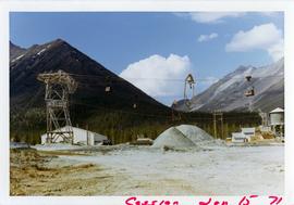
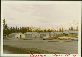
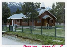
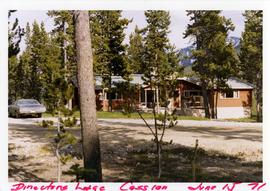
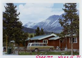
15 June 1971
Parte de Cassiar Asbestos Corporation Ltd. fonds
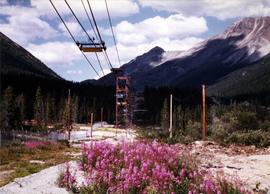
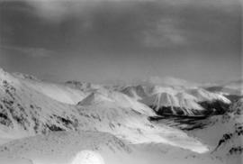
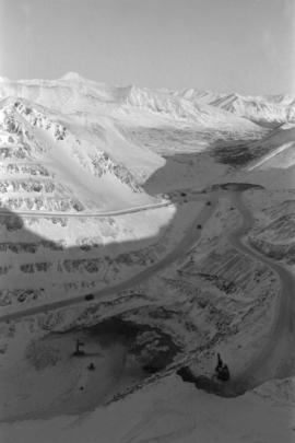
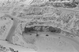
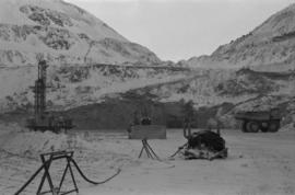
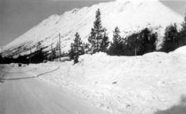
Photograph depicts flowing water speculated to be Troutline Creek which ran south of Cassiar, B.C. Forest on opposite shore and mountains in background. Handwritten annotation on verso of photograph: "Cassiar June 15 71".