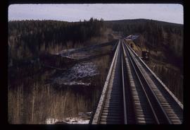
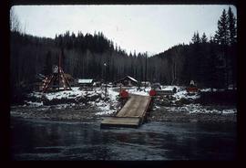
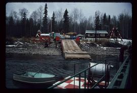
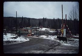
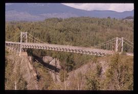
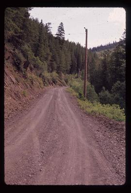
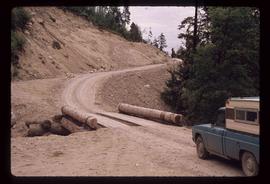
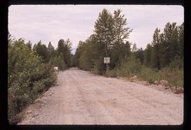
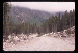
Image depicts the Cottonwood Bridge.
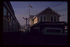
Image depicts the train station in Quesnel, B.C.
File contains slides depicting Highway 16 West, from Isle Pierre to Hazelton.
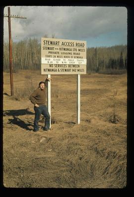
Image depicts a man, possibly Kent Sedgwick, leaning against a sign forbidding public traffic on the Stewart Access Road from between 5 am to 8 pm. Located in Hazelton, B.C.
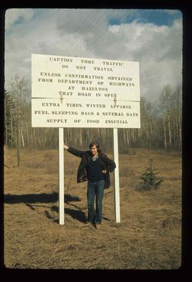
Image depicts an unknown individual leaning against a sign at the Stewart Access Road which warns travellers to pack several days of food. Located in Hazelton, B.C.
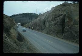
Image depicts a stretch of road somewhere at Burns Lake, B.C.
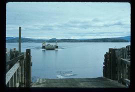
Image depicts a boat on Babine Lake, taken from Granisle, B.C.
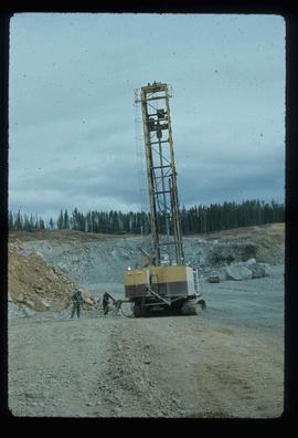
Image depicts a drill for blasting holes at a mine site somewhere in Granisle, B.C.
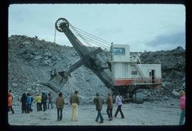
Image depicts a large, electric shovel at a mine site somewhere in Granisle, B.C.
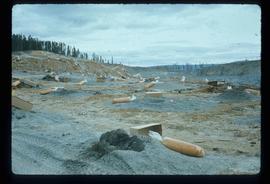
Image depicts numerous bags of blasting powder at a mine site somewhere in Granisle, B.C.
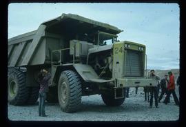
Image depicts an 80 tonne truck at a mine site somewhere in Granisle, B.C.
Image depicts the ferry at Isle Pierre, B.C.
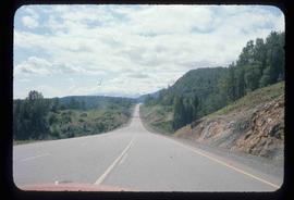
Image depicts a stretch of road through the Bulkley Valley.
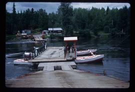
Image depicts the dock for ferries in Isle Pierre, B.C.
Image depicts the dock for ferries in Isle Pierre, B.C.
Image depicts the ferry in Isle Pierre, B.C.
Image depicts a bridge in Hagwilget, B.C.
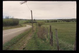
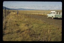
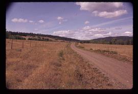
Image depicts a road and field somewhere near Grassy Plains, B.C.
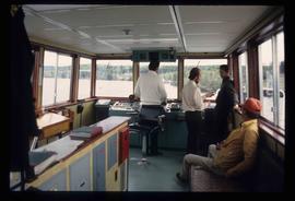
Image depicts the interior of the ferry at Southbank, B.C.
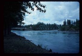
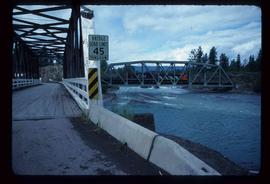
Image depicts two bridges in Telkwa, B.C. One is for trains.
Image depicts two bridges in Telkwa, B.C. One is for trains.
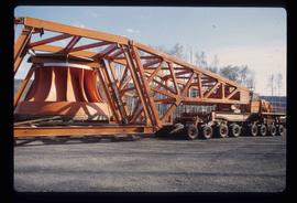
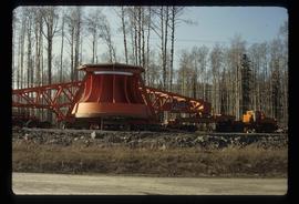
Image depicts a turbine on the back of an industrial vehicle, located somewhere in Fort St. John, B.C.
Image depicts a turbine on the back of an industrial vehicle, located somewhere in Fort St. John, B.C. The slide is labelled "Site one dam; turbine prop. (Russian.)"
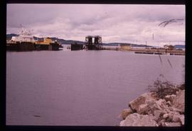
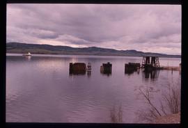
Image depicts a boat on the Nechako Reservoir at Kenny Dam.
Image depicts a boat dock on the Nechako Reservoir at Kenny Dam.
Image depicts an unknown woman on a road in the upper Fraser Canyon.
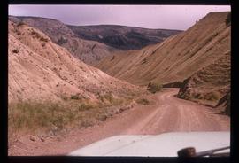
Image depicts a road near or on Gang Ranch in the Upper Fraser Canyon.
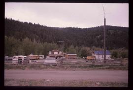
Image depicts a house and numerous rundown vehicles in Dog Creek, B.C.
Image depicts the road to Pavilion Mountain.
Image depicts the road to Pavilion Mountain.
Image depicts the start of Joffre Creek Road, most likely somewhere in the Joffre Lakes Provincial Park.
Image depicts a road leading into a First Nations' Reserve at the head of Harrison Lake.
Image depicts a road, possibly Joffre Creek Road. The slide is simply labelled "Joffre cr."
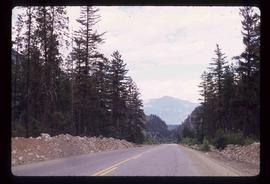
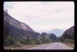
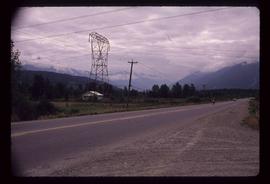
Image depicts Highway 99 north of Squamish, near Pemberton, B.C.
Image depicts Highway 99 north of Squamish and near Pemberton, B.C.
Image depicts Highway 99 near Pemberton, B.C.
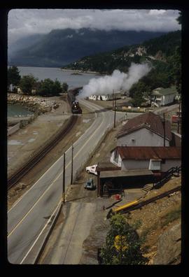
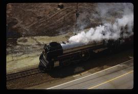
Image depicts a train in an uncertain location, though it is possibly Howe Sound in the background.
Image depicts a train in an uncertain location.
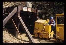
Image depicts the entrance to a mine with an unknown individual present. It is possibly the entrance to the closed Britannia Mine in the Howe Sound Region.
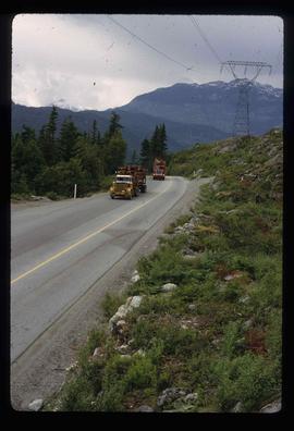
Image depicts two trucks on a road at an uncertain location.
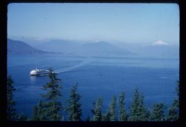
Image depicts a ferry entering Horseshoe Bay in the Howe Sound region.
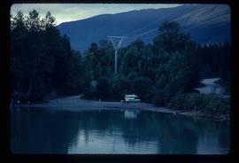
Image depicts a camper on the shore of what is possibly Melita Lake, near the Tseax Cone.
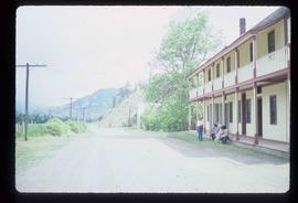
Image depicts the road leading to the historic Hat Creek Ranch site north of Ashcroft, B.C. Several individuals are sitting on the front porch of the Ranch house.
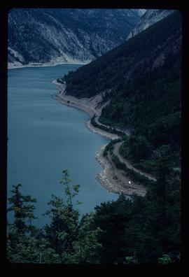
Image depicts an elevated view of a lake and a road located somewhere near Bralorne, B.C.
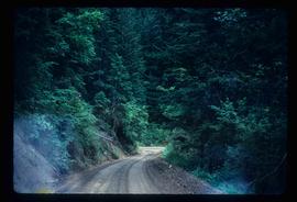
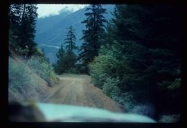
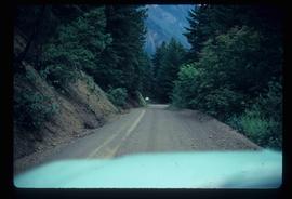
Image depicts a dirt road leading through a forest with what appears to be an area for turning around at the end.
Image depicts a dirt road leading through a forest.
Image depicts a car on a dirt road leading through a forest.
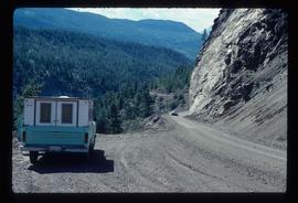
Image depicts a camper parked on the side of a narrow road along a cliff as another car approaches; located somewhere near Bralorne, B.C.
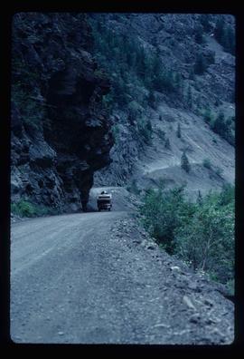
Image depicts a camper passing under an overhang as it drives along a narrow road near a cliff; located somewhere near Bralorne, B.C.
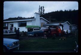
Image depicts a group of people preparing to depart on a trip. Location is uncertain, though it is possibly in Prince George, B.C.
