Showing 561 results

Archival description
481 results with digital objects Show results with digital objects
Community Involvement
2012.13.3 · Series · 1950-2011
Part of J. Kent Sedgwick fonds

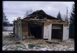
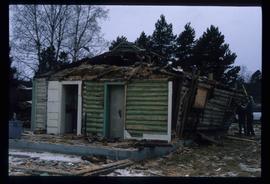
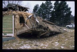
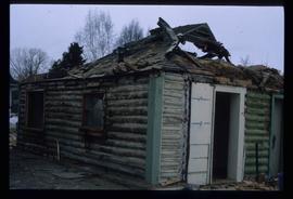
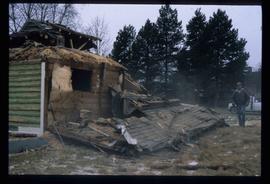
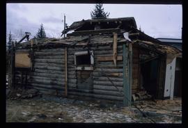
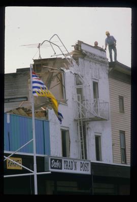
Series contains material created and collected by Kent Sedgwick over the course of his work with the Prince George Heritage Commission, the Alexander Mackenzie Heritage Trail Association, and other local organizations. The files primarily consist of meeting minutes, typescript documents, and correspondence between Sedgwick and the organizations.

2012.13.2.21.06 · File · 1973-1980
Part of J. Kent Sedgwick fonds

File consists of records created and collected by Kent Sedgwick regarding Cottonwood Island in connection with his employment with the City of Prince George Planning Department. Includes briefs, proposals, memoranda, correspondence, newspaper clippings, questionnaires, legal correspondence, meeting minutes, and photocopied excerpts from maps/plans. Also includes two polaroid photo prints depicting garbage in Cottonwood Island Park circa 1979. Highlights include:

  • Prince George Kiwanis Club, "Brief to City Council, City of Prince George, re: Nechako Riverfront Park", 12 Mar. 1973.
  • New Caledonia Institute of Environmental Studies, "Proposal for Cottonwood Island as a Park Reserve", Summer 1973.
  • "Cottonwood Island Study", [before 1975] (photocopy).
  • Mary Fallis, "Letter to the Editor of The Citizen", 5 Mar. 1976 (photocopy).
  • City of Prince George Planning Department, "Ownership, Legal and Assessment Data - Private and School District Properties within the Proposed Replot Area [Island Cache]", 11 Oct. 1978.
  • "Assessed Values for City and Crown Lands within the Proposed Replot Area North of First Ave" (handwritten table), 16 Oct. 1978.
Cottonwood Park Opening
2012.13.1.133.12 · Item · 1985
Part of J. Kent Sedgwick fonds

Image depicts Elmer Mercier, a former mayor of Prince George, B.C., cutting the ribbon to open Cottonwood Park's Heritage Trail.

Demolished House
2012.13.1.22.05 · Item · 1970
Part of J. Kent Sedgwick fonds

Image depicts the rubble of a demolished house at Island Cache, with several other buildings in the background.

Downtown Prince George
2012.13.1.3.082 · Item · May 1984
Part of J. Kent Sedgwick fonds

Image depicts downtown Prince George taken from City Hall looking north. Map coordinates 53°54'46.2"N 122°44'43.9"W

Downtown Prince George
2012.13.1.3.076 · Item · May 1984
Part of J. Kent Sedgwick fonds

Image depicts a view of Prince George from City Hall looking northeast with the pulp mills in the background. Map coordinates 53°54'46.3"N 122°44'41.9"W

Downtown Prince George
2012.13.1.3.080 · Item · May 1984
Part of J. Kent Sedgwick fonds

Image depicts downtown Prince George taken from City Hall looking north. Map coordinates 53°54'46.2"N 122°44'43.9"W

Downtown Prince George
2012.13.1.3.081 · Item · May 1984
Part of J. Kent Sedgwick fonds

Image depicts downtown Prince George taken from City Hall looking northwest. Map coordinates 53°54'46.2"N 122°44'43.9"W

Downtown Prince George
2012.13.1.3.079 · Item · May 1984
Part of J. Kent Sedgwick fonds

Image depicts downtown Prince George taken from City Hall looking northwest. Map coordinates 53°54'46.2"N 122°44'43.9"W

2012.13.1.3.108 · Item · 12 Oct. 1989
Part of J. Kent Sedgwick fonds

Image depicts 4th Ave at Quebec St, showing the following businesses: The Yarn Barn, Golden Chalice Jewellers, Dandy Lines, Ultrasport, and Saveco. Map coordinates 53°54'58.6"N 122°44'47.5"W

2012.13.1.3.110 · Item · 12 Oct. 1989
Part of J. Kent Sedgwick fonds

Image depicts George St in downtown Prince George with City Hall in the background. Also visible are the Prince George Hotel, Ming's Inn Chinese Restaurant, Fraser Stationers Ltd., Weiner King food cart, and a movie theatre. Map coordinates 53°54'55.0"N 122°44'36.1"W

East Line
2012.13.2.17 · Subseries · 1972-2011
Part of J. Kent Sedgwick fonds

Subseries consists of material collected by Kent Sedgwick for research regarding the communities along the East Line of the Grand Trunk Pacific Railway in Central British Columbia, particularly between Prince George and McBride. These communities and locations include, among others, Shelley, Willow River, Sinclair Mills, Longworth, Dunster, Tete Jaune, Valemount, Mount Robson, and the Yellowhead Pass. Research on these communities was conducted during Kent Sedgwick's involvement in the UNBC-led Upper Fraser Historical Geography Project. The files primarily consist of research notes, audio and transcripts of oral interviews, and photographs of the East Line communities.

Europe Hotel
2012.13.1.7.178 · Item · Dec. 1999
Part of J. Kent Sedgwick fonds

Image depicts the Europe Hotel in Prince George prior to its demolition in the 1980s; however, the slide itself was only made in 1999 and the date of the photo is otherwise unknown, but most likely around 1979.

Exhibition Sports Centre
2012.13.1.7.234 · Item · Mar. 2003
Part of J. Kent Sedgwick fonds

Image depicts the Exhibition Sports Centre, which used to be a drill hall army base, on Keller Street in Prince George, B.C.

Exhibition Sports Centre
2012.13.1.7.244 · Item · Mar. 2003
Part of J. Kent Sedgwick fonds

Image depicts the Exhibition Sports Centre, which used to be a drill hall army base, on Keller Street in Prince George, B.C.