File consists of J.H. Mundie's expert report for the Nechako River court action. Includes curriculum vitae.
Photographs within this file pertain to the early exploration of northern British Columbia.
File contains portraits and sample photographs of exposed asbestos fibre: in veins of rock outcrops, and loose in talus on McDame Mountain (location of Cassiar mine). Some photographs were printed in Cassiar's Annual Reports, with labels and descriptions.
File consists of a photocopy of the final draft of Levings and Lauzier's paper, "Extensive Use of the Fraser River Basin as Winter Habitat by Juvenile Chinook Salmon". Includes accompanying correspondence to Shirvell from Levings regarding the paper.
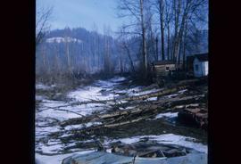
Image depicts some fallen trees at Island Cache.
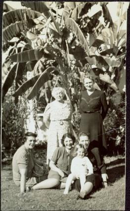
Five woman and one young girl pose on grass in front of palm trees.
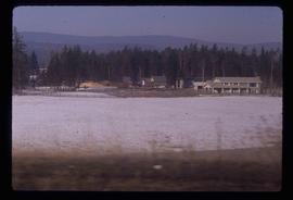
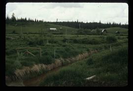
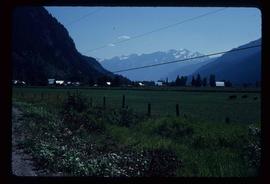
Image depicts a farm at an uncertain location.
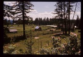
Image depicts a farm on the west side of the Fraser, south of Quesnel, B.C.
Image depicts what appears to be a farm at an uncertain location.
Image depicts a farm at an uncertain location; possibly somewhere in the McGregor Valley.
Image depicts a farm at an uncertain location.
Image depicts a farm at an uncertain location.
Image depicts a farm at an unknown location.
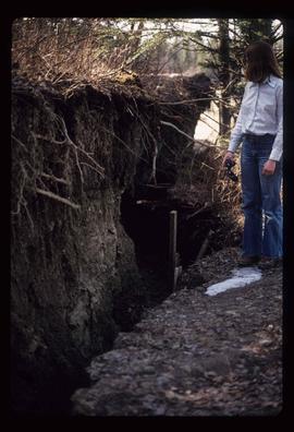
Image depicts an unknown individual standing next to what appears to be a fault at an unknown location.
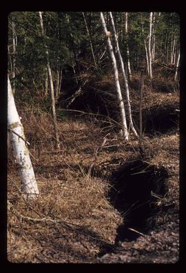
Image depicts what appears to be a fault at an unknown location.
File consists of copies of computer-generated data tables from the Department of Fisheries and Oceans database (NAQUADAT) and from the BC provincial database (EQUIS). Measurements of heavy metal content in the Bulkley River were taken at Fort Fraser, Kenney Dam, Vanderhoof, Prince George, Smithers, and Morice River.
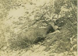
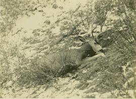
Photograph depicts a felled deer on a snow-covered hillside with a rifle behind the deer.
Photograph depicts a felled deer on a snow-covered hillside with a rifle behind the deer.
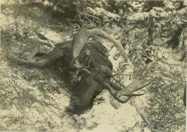
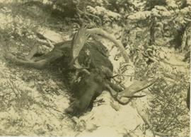
Photograph depicts a felled moose on a snow-covered hillside.
Photograph depicts a felled moose on a snow-covered hillside.
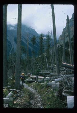
Image depicts a large number of felled trees, and an unknown individual standing on the path.
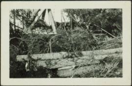
Photograph depicts logs lying in brush in foreground, unidentified structures in background (possibly a tent)?
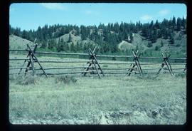
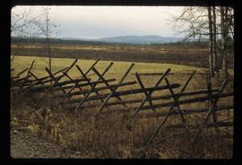
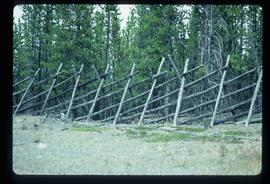
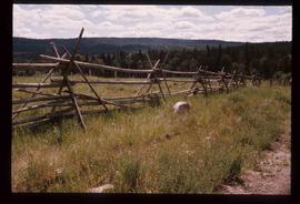
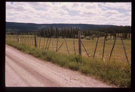
Image depicts a fence, perhaps somewhere in the Chilcotin region.
Image depicts a fence in the Blackwater River area in the Chilcotin.
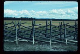
Image depicts a fence somewhere in Anahim Lake, B.C.
Image depicts a wooden fence at an uncertain location, perhaps somewhere in the Chilcotin region.
Image depicts a wooden fence at somewhere in Meldrum Creek, B.C.
Image depicts a fence somewhere in Anahim Lake, B.C.
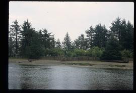
Image depicts a fence and power lines near the shore on Haida Gwaii. It is possibly a small community such as Masset.
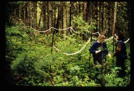
Image depicts two unidentified individuals standing outside a small, enclosed area somewhere in a forest. The location is uncertain.
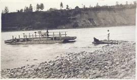
Photograph depicts a wooden ferry being steered by one man with two men waiting on a rocky shoreline. Annotation on verso of photograph states: "Ferry across Kishpiax at Hazelton"
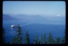
Image depicts a ferry entering Horseshoe Bay in the Howe Sound region.
File consists of two copies of the Forest History Association of British Columbia Newsletter, Issue No. 88, published July 2010. This issue contains a synopsis of the 2009 Forest History Conference that look place at UNBC Prince George.
Image depicts the Fraser River, likely near the Hansard railroad bridge.
File consists of an original set of field notes from 1986 Nechako River studies compiled by Alger and Charbonneau. Includes notes for field work between May and July 1986 with raw microhabitat data. Also includes a copied set of the same field notes.
File consists of Shirvell's field notes for August 1985 field work on the Nechako River. Also includes photocopies of field notes by Lauzier, Alger and Kotyk from scuba diving in the Nechako Canyon, 1986.
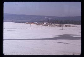
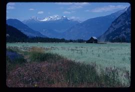
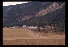
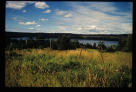
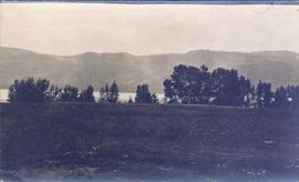
Photograph depicts a landscape shot of a grassy field overlooking a forested shoreline with mountains in the background.
File consists of a photocopy of a report by Beschta et al. for the U.S. Department of Energy entitled "Field Review of Fish Habitat Improvement Projects in Central Idaho".
File consists of memoranda regarding the 1986 Nechako River studies, original raw data from May 1986 studies on the Nechako, and copies of field notes.
Photograph depicts fields recently cleared from virgin bush on Miracle Breach on Vancouver Island.
File consists of various maps, figures, and graphs generated in conjunction with Nechako River scientific studies. Includes a map of dune areas at a site in the Nechako River entitled "Comparison of areas predicted by ALCAN's habitat model to be used by chinook salmon for spawning in Reach 2-1 with areas that they have historically used", a graph of "Habitat Predictions for Pre-Migrant Juvenile Chinook Salmon in the Nechako River", an annotated graph of "Upper, Lower and Optimum Temperature for Nechako River Chinook Salmon", a hand drawn graph of "Water temperatures at the margins of the Nechako River during the warmest part of the year at three locations downstream from Cheslatta Falls", a hand drawn graph of "Lethal water temperature distribution in a river", a "Nechako River Salmon Study Area Base Map", maps of Nechako River temperature/TGP transects, and a hand drawn graph of maximum usable area for pre-migrant juvenile chinook salmon in the Nechako River.
File consists of final arguments submitted to the BCUC public review of the Kemano Completion Project. Includes final arguments and accompanying correspondence for the Rivers Defense Coalition; the Nechako Valley Regional Cattlemen's Association and the Nechako Valley Dairymen's Association; the Nechako Environmental Coalition; Ben B. Meisner; the Province of British Columbia; the Government of Canada; Ecology Circle Prince George; Rediscovery Prince George; and Rick Berry.
File consists of a copy of the "Final Submission on behalf of Alcan Smelters and Chemicals Ltd." for the BCUC public review of the Kemano Completion Project.
File consists of final submissions submitted to the BCUC public review of the Kemano Completion Project. Includes final submissions and accompanying correspondence for the Nechako Environmental Coalition; the District of Vanderhoof/Regional District of Bulkley Nechako/The River Forever/Vanderhoof District Chamber of Commerce; Sustainable BC; J.M. Black; and Rediscovery Prince George. Also includes the Nechako Environmental Coalition's "Rebuttal to Final Submissions of Alcan & the Government of Canada"; the "Final Argument of the Province of British Columbia"; and the "British Columbia Hydro and Power Authority 1993 Revenue Requirements Application Final Argument".
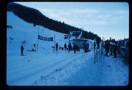
Image depicts numerous skiers standing near a finish line somewhere on Tabor Mountain in Prince George, B.C.
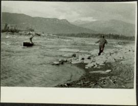
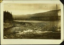
Photograph depicts a man standing in a small canoe, facing a second man walking along the shore. Hills on opposite shore in background. Handwritten annotation on recto of photograph: "Finlay Rapids. Peace River."
Handwritten caption below this photo reads: "Finlay River Rapids. - 1930."
A small peninsula extends into river in left midground, rapids in foreground, trees and hills on opposite shore in background.
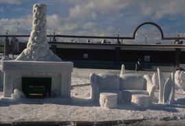
Image depicts a snow sculpted fire place and couch on a skating rink, possibly during the Winter City Conference, in Prince George, B.C. Taken at the Prince George Civic Center. Map coordinates 53°54'45.6"N 122°44'59.6"W
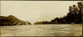
Photograph depicts buildings on shore in background, hills visible in distance.
Handwritten annotation on verso reads: "1st canyon Nass River".
File consists of transcribed notes on a presentation, entitled, "First Nation and Management of Natural Resources" by Eldon Yellowhorn.
