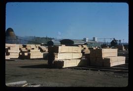
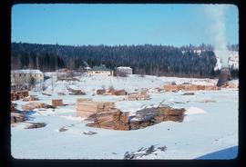
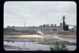
Image depicts numerous blocks of wood planks at a saw mill, possibly Lakeland Mills, somewhere in Prince George, B.C.
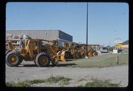
Image depicts numerous tractors at Finning Tractor and Equipment Co. Ltd. located along Highway 97 in Prince George, B.C.
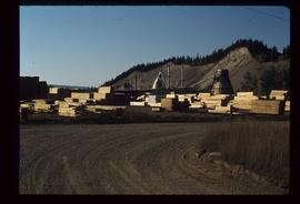
Image depicts numerous piles of wood planks at the Canadian National Railway Yards in Prince George, B.C. The cutbanks are seen in the background.
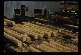
Image depicts numerous stripped logs and several unidentified individuals in hard hats at a saw mill somewhere in Prince George, B.C.
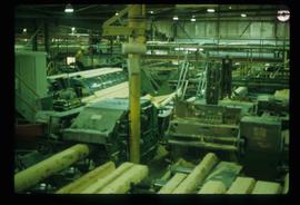
Image depicts logs being cut into planks in the interior of a saw mill somewhere in Prince George, B.C.
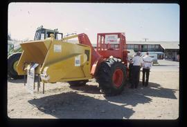
Image depicts two unidentified individuals examining a tractor meant to delimb trees. It is located in Prince George, B.C.
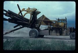
Image depicts a piece of heavy machinery lifting numerous logs. It is likely located in Prince George, B.C.
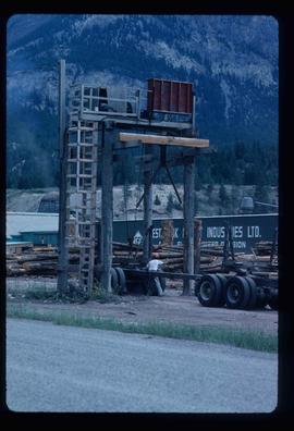
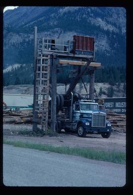
Image depicts a man attaching a logging trailer to a crane on a wooden structure to stack the trailer on the truck. A Crestbrook Forest Industries sawmill is located in the background.
Image depicts a logging truck with its trailer being attached on top of it. A Crestbrook Forest Industries sawmill is located in the background.
Image depicts what appears to be a small mill in the community of Crescent Spur, B.C.
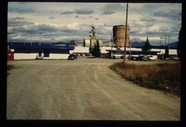
Image depicts the entrance to the Upper Fraser mill yard in Upper Fraser, B.C. Map coordinates 54°07'10.8"N 121°56'51.7"W
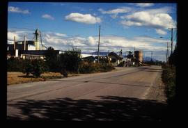
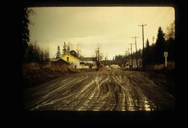
Image depicts the Upper Fraser Road running through Upper Fraser, B.C. A newer style round burner is seen in the background. Map coordinates 54°07'05.7"N 121°56'38.9"W
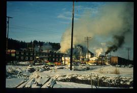
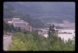
Image depicts the Giscome mill site in Giscome, B.C. The bunkhouse is the large building with many windows. A train and railroad tracks are in the foreground. Map coordinates 54°04'17.6"N 122°22'06.1"W
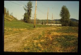
Image depicts the remains of a street of houses in Giscome, B.C. The quarry is slightly visible in the background. Map coordinates 54°04'20.9"N 122°21'53.1"W
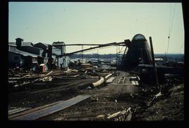
Image depicts numerous buildings at an uncertain location. A beehive burner and what appears to be a large pile of wood is visible in the background.
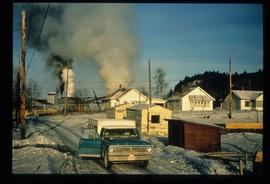
Image depicts several houses and the Giscome saw mill in Giscome, B.C. in the background. Map coordinates 54°04'20.9"N 122°21'53.1"W
Image depicts the mill site at Giscome and its beehive burner. Map coordinates 54°04'19.7"N 122°22'04.7"W
Image depicts the Britannia Mine, which closed in 1974 and is now a museum. "Anaconda" was the last operating owner.
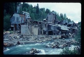
Image depicts what is possibly an old, rundown mill in Bralorne, B.C.
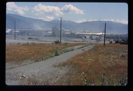
Image depicts the Alcan smelter in Kitimat, B.C.
Image depicts a pulp mill in Port Edward, B.C.
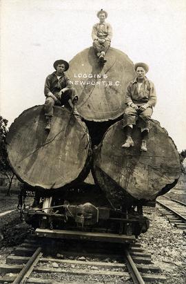
Photograph depicts three men sitting on large logs on a logging truck. The men are believed to be, from left to right: unknown, Al Lassmann, Jack Phelps.
