2012.13.2.17.26
·
File
·
1984, 2004
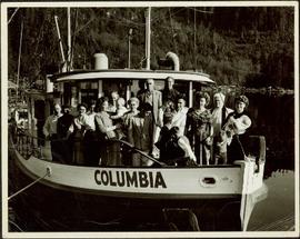
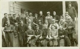
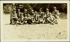
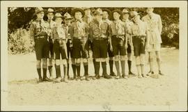
Part of J. Kent Sedgwick fonds
File consists of notes and reproductions relating to Hansard, a community along the East Line. File contains material regarding the community and the building of a railway bridge over the Fraser River at Hansard. File also includes photographs depicting the new Hansard bridge (2005).