2012.13.1.59.33
·
Item
·
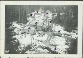
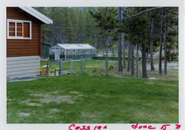
July 1980
Part of J. Kent Sedgwick fonds
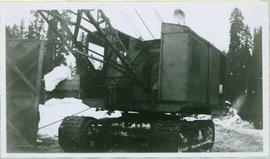
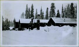
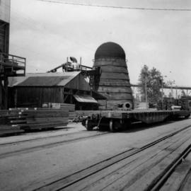
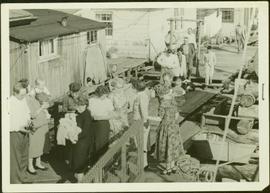
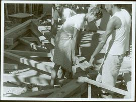
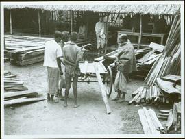
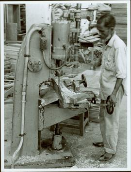
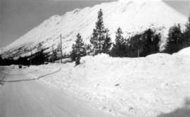
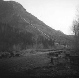
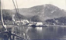
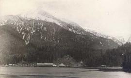
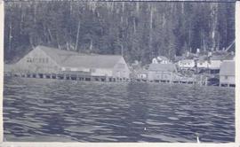
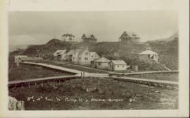
Image depicts what is possibly an old, rundown mill in Bralorne, B.C.