Showing 1046 results
Archival description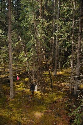
Y09-28-10 F40 site view
Y09-24 F5 surface
Y09-24 F20 surface
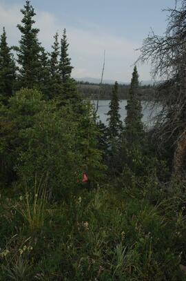
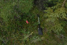
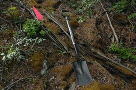
Y09-24 F24 forest transect from crest
Y09-24 G5 surface

"Location Map - E.P. 886.15 Installation 2 - Kenneth Creek"
Data for Sulphur stable isotope tracer study (E.P. 886.15)
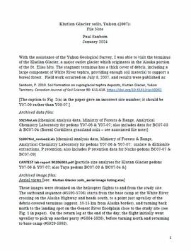
Klutlan Glacier soils
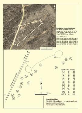
"Location Map - E.P. 886.15 Installation 1 - Holy Cross Creek"
Agriculture Canada pedological research in the central Yukon

Wounded Moose geochemistry paleosol data for Yukon Paleosol Study
Forest soil sulphur research
Harry Coates Oral History Interview (2013) Audio Recording - Part I

Harry Coates Oral History Interview (2013) Audio Recording - Part II
Soils research at Kluane Lake, Yukon

Kluane Lake soils research data

Dr. Joselito Arocena fonds
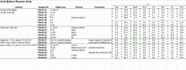
Gold Bottom soils data and descriptions
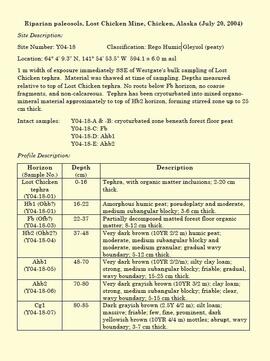
"Riparian paleosols, Lost Chicken Mine, Chicken, Alaska (July 20, 2004)"

Fort Selkirk volcanic field soil reconnaissance data
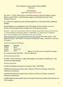
Fort Selkirk volcanic field, Yukon

Paleosols at the Lost Chicken Mine, Chicken, Alaska
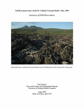
"Soil Reconnaissance of the Ft. Selkirk Volcanic Field: July, 2009 - Summary of Field Observations"

Model for New Mill Displayed in Room

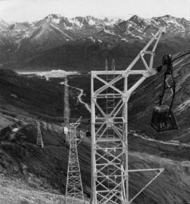
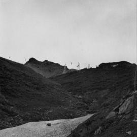
North View of Tramline from Valley
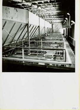
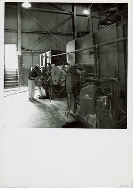
1961 - Mill Wheelabrators
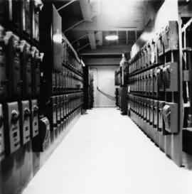
1961 - Power House Interior
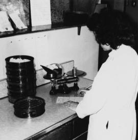
1961 - Woman in Lab
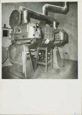
1961 - Movie Projectors
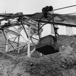
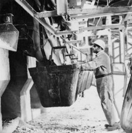
Incoming Bucket, Station #1
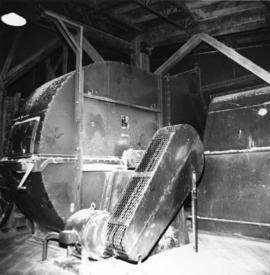
1961 - Mill Fan
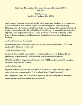
Soils and prescribed burning, Muskwa-Kechika

Model for New Mill Displayed Outdoors

Portrait of Model for New Mill

Mine & Ore Gravity Chute

North View of Tramline From Valley
Tramline from Mountain
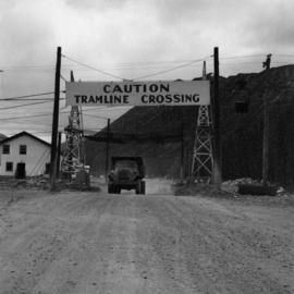
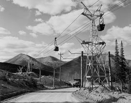
Truck on Road Under Tramline Crossing
Tramline from Mine Road
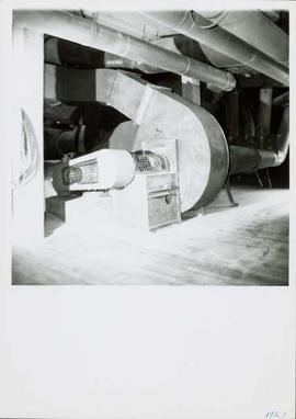
1961 - Mill Fan
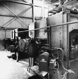
1961 - Dryer Burners
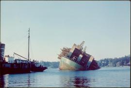
Self-dumping log barge
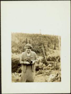
Sarah Glassey with Camera
Dump Truck Under Tramline
Loading Station
1961 - Dryer Burners