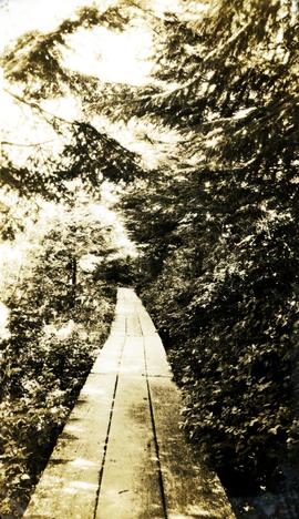
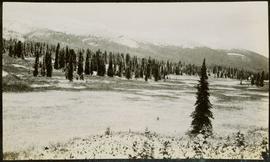
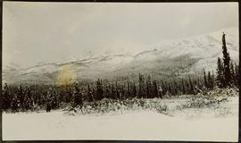
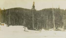
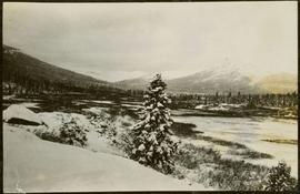
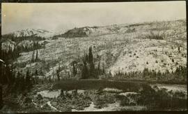
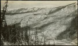
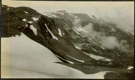
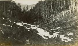
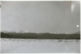
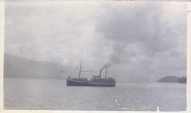
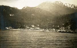
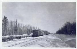
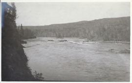
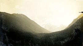
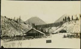
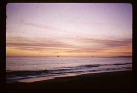
Photograph depicts a view from Billing siding toward a river with mountains behind.
Photograph depicts a wooden walkway with trees crowding close. Handwritten annotation below photograph reads, "a shady walk".
Image depicts what appears to be a shed at an uncertain location.
Photograph depicts a ship beached on rocks, leaning heavily to one side with a forested shoreline in the background.
Photograph depicts a steamboat on the water with forested mountains in the background.
Typed annotation on verso of photograph reads: "The Old and the New on the Skeena." Part of a set of 41 original black & white photographs [1908-1933-?]) of the Grand Trunk Pacific Railway line in BC depicting surveying crews, town sites (Prince Rupert and its port, Hazelton and Fort George), and First Nations Peoples.
Image depicts a street in Island Cache.
Image depicts a street in Wells, B.C. The Wells Hotel is present in the image.
Image depicts a street in Wells, B.C.
Image depicts a street in Wells, B.C. The Sunset Theatre and Gold Country Food Market are both present in the image.
Image depicts a street in Wells, B.C. The Sunset Theatre is located on the left of the image, and the Jack O' Clubs Hotel is the building with the green roof on the right. The hotel burned down on February 14th in 1994.
Image depicts a street in Wells, B.C.
File consists of a document entitled "A Summary: History and Progress," which contains an overview of Columbia Cellulose Company's operations, ownership and financing, management staff, progress during 1968, three-year profit plan targets 1969-1971, and general information (magazine reprints, photographs, 1967 annual report, and 1968 interim reports).
Photograph depicts a tiny coastal village nestled on the shore. Treed hills surround the village, there are snow topped mountains in the background.
Head on photograph of a trapper standing in front of his cabin in Prince Rupert, BC. The front of the cabin is covered in various pelts. Printed annotation on recto reads: "A Trappers Cabin near Prince Rupert."
Photograph depicts a creek canyon. Handwritten annotation below photograph reads, "Canyon views Nass Harbour creek".
Photograph depicts water in the foreground, steep rock cliffs on the perimeter, rocks and trees in the background. Handwritten annotation reads, "Canyon views Naas Harbour creek".
Photograph depicts a view from a high hill looking down on the Fraser River near Soda Creek.
Photograph depicts a wide treed valley with snowy mountains in the distance. Handwritten annotation below photograph reads, "Looking south, Nass Harbour, BC".
Photograph depicts a water tower.
Photograph depicts a water tower beside a rail line.