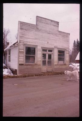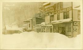
2012.13.1.86.39
·
Item
·
Mar. 1979
Part of J. Kent Sedgwick fonds
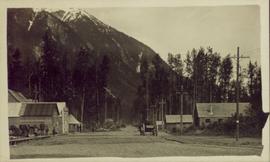
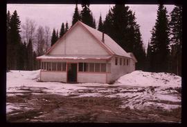
Image depicts the community hall in Dome Creek, B.C.