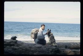
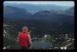
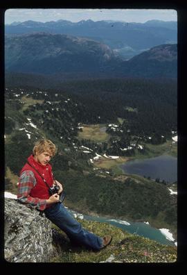
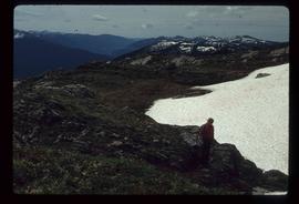
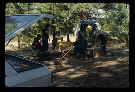
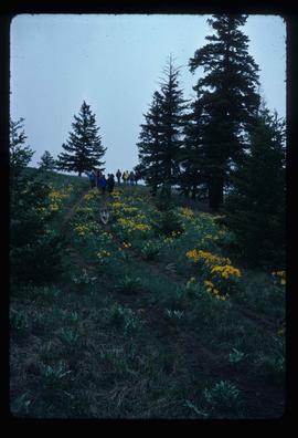
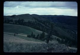
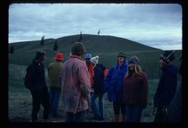
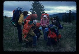
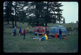
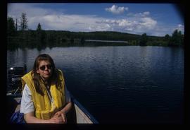
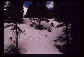
Image depicts an individual sliding down a snowy trail somewhere Raven Peak.
File contains slides depicting Raven Lake and its surrounding areas.
Image depicts Kent Sedgwick standing on the other side of a log bridge in a forest somewhere on Haida Gwaii.
Image depicts an individual walking on a a log bridge in a forest somewhere on Haida Gwaii.
Image depicts an individual walking on a path through a forest somewhere on Haida Gwaii.
Image depicts Kent Sedgwick sitting on a log with a dog on a beach somewhere in Haida Gwaii, B.C.
File contains slides depicting places on Haida Gwaii, formerly known as the Queen Charlotte Islands.
Image depicts a man at a campsite somewhere near Murray Ridge.
Image depicts the back of a man looking out over Murray Ridge.
Image depicts a man leaning on a rock somewhere on Murray Ridge.
Image depicts an unknown individual and some snow located somewhere along the Murray Ridge.
File contains slides depicting Pine Pass and Murray Ridge, B.C.
Image depicts a camper parked on the shore of Nation Lakes, south of Manson Creek, B.C.
Image depicts a residential area with a playground somewhere in Mackenzie, B.C.
Image depicts a small section of Mackenzie, with the Mackenzie Curling Rink visible on the right side of the image.
Image depicts the Mackenzie Curling Rink.
Image depicts a man holding two fish on a dock in Kitimat, B.C.
Image depicts two men in the cabin of a boat somewhere near Kitimat, B.C.
Image depicts numerous docked boats, as well as many houses on the shore in the background; located in Kitimat, B.C.
Image depicts numerous docked boats in Kitimat, B.C.
Image depicts numerous individuals passing in front of the Bay in Kitimat, B.C.
Image depicts a large group of people enjoying the Mount Layton Hot springs in the Lakelse Lake Provincial Park north of Kitimat, B.C.
Image depicts two individuals seated at a picnic table while a third stands closer to the water on a beach somewhere in Kitimat, B.C. What appears to be a harbour can be seen on the water.
Image depicts three picnic tables, one of which is occupied with three unknown individuals, on a beach somewhere in Kitimat, B.C.
Image depicts a camper and a man and woman at an uncertain location, possibly somewhere near Meldrum Creek, B.C. The woman in the image is Sue Sedgwick.
Image depicts a view of the landscape at an unknown location with a group of people, possibly tourists, present. It is possibly near the Fraser River.
Image depicts a group of unknown individuals sitting around a camp fire at an uncertain location.
Image depicts a view of the scenery at an uncertain location with numerous individuals, possibly tourists, present. It is possibly somewhere near the Fraser River.
Image depicts a group of hikers hiking towards what is possibly the Chilcotin River.
Image depicts four hikers putting on rain parkas.
Image depicts a group of hikers on a hiking trail.
Image depicts a group of hikers and a dog walking down a hill.
Image depicts a view of the scenery, with three hikers in the bottom left corner of the image.
Image depicts a group of people hiking, possibly somewhere near Riske Creek, B.C.
Image depicts a group of hikers listening to a man, possibly a guide, speak. The location is possibly near Riske Creek, B.C.
Image depicts a group of hikers, possibly somewhere near Riske Creek, B.C.
Image depicts several orange and blue tents, possibly somewhere near Riske Creek, B.C.
Image depicts a group of hikers examining something on the ground, most likely the small pink flower that is barely visible in the grass. The location is possibly near Riske Creek.
Image depicts a group of people and two vans, apparently preparing to set out on a hike somewhere near Riske Creek, B.C.
Image depicts a sign titled "Chilcotin Wildlife Management Area" somewhere near Riske Creek, B.C. It reads: "This trail has been provided by the Fish and Wildlife Branch in co-operation with Riske Creek Ranching Ltd., as access to the Chilcotin Wildlife Management Area. Please do not leave the the trail as the surrounding land is private property."
File contains slides depicting places in and around the Junction Sheep Range Provincial Park south-west of Williams Lake.
Image depicts two women sitting on a fallen tree on the shore of a lake, possibly Portage Lake; the woman in blue is "Gail," and the woman in red is Sue Sedgwick.
Image depicts a woman named "Gail" on a trail to Portage Lake.
Image depicts a boat launch; it is possibly at War Lake in Carp Lake Provincial Park.
Image depicts a woman on a boat, possibly on War Lake.
Image depicts a boat launch with several people nearby; it is possibly at War Lake in Carp Lake Provincial Park.
Image depicts two dogs and a person walking on a path through the woods somewhere in Carp Lake Provincial Park.