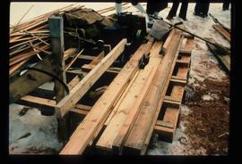
Image depicts a saw and numerous wooden boards at an uncertain location.
No annotation provided on slide.
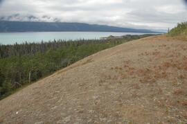
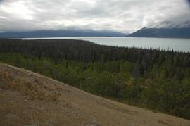
Annotation on slide: "Summit Lake, Light Abrasion".
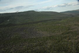
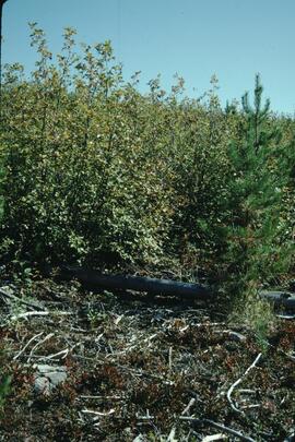
Annotation on slide: "BC[?] advance regen. releasing in logged cedar block, ICHwk3"
Aerial photograph depicts a view overlooking the Georges farm. Note on back stated that this photograph was presented in a frame to the Georges in 2008.
No annotation on slide.
During the 1980s, Agriculture Canada pedologists Scott Smith (retired from Summerland Research Station, formerly based in Whitehorse) and Charles Tarnocai (retired from Central Experimental Farm, Ottawa) had a large field program which addressed the trends in soil development in the central Yukon. Across this region, particularly between Whitehorse and Dawson City, the land surfaces and surficial deposits vary greatly in age due to the differing extents of glaciations over the past ~2 million years.
This work built on a pioneering study from the previous decade:
Foscolos, A.E., N.W. Rutter, and O.L. Hughes. 1977. The use of pedological studies in interpreting the Quaternary history of central Yukon Territory. Bulletin 271. Geological Survey of Canada, Ottawa. 48 p. https://doi.org/10.4095/103066
Tarnocai and Smith presented their results in two publications:
C. A. S. Smith, C. Tarnocai, and O. L. Hughes. 1986. Pedological investigations of Pleistocene glacial drift surfaces in the central Yukon. Géographie physique et Quaternaire, 40 (1): 29–37. https://doi.org/10.7202/032620ar
Tarnocai, C. and C. A. S. Smith. 1989. Micromorphology and development of some central Yukon paleosols, Canada. Geoderma 45 (2): 145-162. https://doi.org/10.1016/0016-7061(89)90047-5
Tarnocai and Smith shared the unpublished data and soil samples from this work with Dr. Paul Sanborn, and this resulted in a student project published as:
Daviel, E., P. Sanborn, C. Tarnocai, and C.A.A. Smith. 2011.Clay mineralogy and chemical properties of argillic horizons in central Yukon paleosols. Canadian Journal of Soil Science 91: 83-93. https://doi.org/10.4141/cjss10067
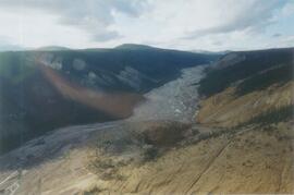
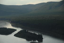
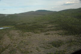
In July 2009, Dr. Paul Sanborn undertook the first soils field research at the Fort Selkirk volcanic field in central Yukon, with helicopter support and funding from the Yukon Geological Survey. This file consists of prints of aerial photographs that depict the area accessed for the study, upstream from the confluence of the Yukon River and the Pelly River.
Air photographs include:
Flight line A17210, Photo Nos. 54-60 (taken 1960)
Flight line A22354, Photo Nos. 43-45, 47-48 (taken 1971)
Flight line A27516, Photo Nos. 48-52 (taken 1989)
Slide depicts the original wooden BC Forest Service sign for the Aleza Lake Forest Experiment Station.
File consists of slides depicting Aleza Lake, Klinka, Prince George, McGregor, UNBC campus, Prince Rupert, Great Bear, Health Canada, and a flare pit.
File consists of slides depicting Aleza Lake, Stoney Creek, Tl'azt'en Nation, a Health Centre opening, Dahl Lake, Paul Sanborn, and lacustrine clay.
The Archie Creek site is the informal name used for a research installation established in 1971 east of Prince George by the Canadian Forest Service, and subsequently abandoned by the end of that decade. Dr. Paul Sanborn revisited the site in 1995, and sampled forest floors and mineral soils across a range of conifer-broadleaf mixtures established by natural establishment of broadleaf trees among planted lodgepole pines.
Details of the site conditions, sampling methods, and results were published in:
Sanborn, P. 2001. Influence of broadleaf trees on soil chemical properties: A retrospective study in the Sub-Boreal Spruce Zone, British Columbia, Canada. Plant and Soil 236: 75–82. https://doi.org/10.1023/A:1011973402414
File contains 2 rolls (51 slides) taken September 25-26, 1995 that depict paired views of plot vegetation and forest floor surface. Handwritten number notations on slide frames indicate plot numbers from the original research installation.
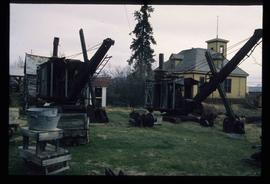
Image depicts old machinery, at the Atlin Museum in Atlin, B.C.
File contains photographs depicting superintendents accepting safety awards on behalf of Cassiar Asbestos Corporation ltd, and BCIT Scholarship Winners.
File contains photographs annotated Nordenham, presumably indicating that these images were taken in the Asbestos Corporation's plant in Nordenham Germany. The images depict bagging machinery in the mill, including a palletizer, automatic sewing machine, packer, shrinkwrap machine, glue applicator and cement bags. Some of the images include detailed annotations.
Annotation on photograph verso: "Summit Lake Trial EP 1162, Winter 1991/1992"
File consists of slides depicting Bear Lake, piloderma, McGregor Model Forest, Purden Lake, logging truck, Douglas fir, Highway 16, Westwin, knight's plume, and feather moss (pleuzurium).
File consists of slides depicting Bear Lake, West Lake, Williams Lake, 10 Mile Lake, Smithers, Fort St. John, WAC Bennett Dam, and UNBC campus.
File consists of slides depicting Totuk Lake, chernozem, Vanderhoof, a log house, Beaumont Provincial Park, Tamarack Lake, Dahl Lake, an ant hill, and red soil.
File consists of slides depicting Lake Babine, Bell Mines, tailings ponds, Williams Lake, and FSTY 205 and FSTY 425 students.
Slide depicts a black bear eating garbage by wooden outbuildings, possibly at the Aleza Lake Experiment Station.
