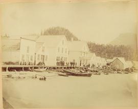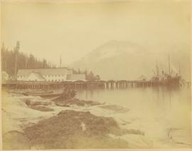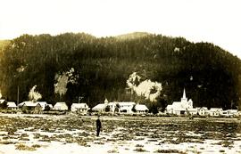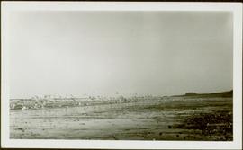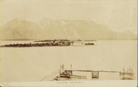
2009.7.1.161
·
Item
·
[ca. 1880 - ca. 1915]
Part of Archdeacon W. H. Collison fonds
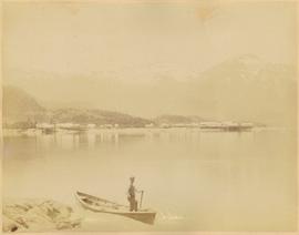
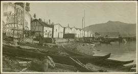
Canoes sit on shore in foreground beside village buildings. A dock is visible above water in background.
Handwritten annotation on verso reads: "Alert Bay Indian Ranch No. 14 Alert Bay. To be shown on page 69 or 70, re Alert Bay Mission."