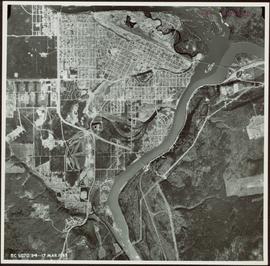
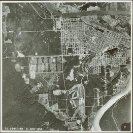
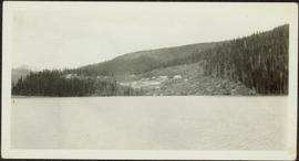
Item is a photograph of Prince George taken from the air.
Item is a photograph of Prince George taken from the air.
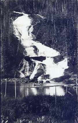
Photograph depicts four men in a boat on a lack with a waterfall in the background running through a forest into the lake. Annotation on verso of photograph states: "The water fall + flume for Brown's sawmill Hoscall River BC"
Photograph depicts rows of palm trees shadowing the Pacific Park Motel with a mountain range in the background.
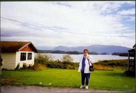
Bridget Moran stands on road, unidentified buildings behind on either side. Lake and hills on opposite shore in background. Photo believed to be taken at Metlakatla Lake, B.C. Building on left speculated to be the St. Paul's Anglican Church Learning Centre.
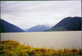
Photograph depicts unknown lake. Grassy shore in foreground, mountains in background.
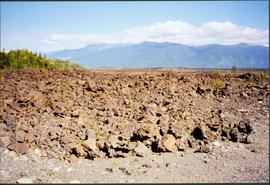
Photograph depicts what appears to be a lava bed, see item 2008.3.1.22.33.
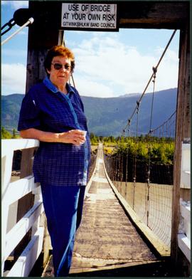
Photograph depicts Moran standing in front of bridge featuring a sign reading "USE OF BRIDGE AT YOUR OWN RISK / GITWINKSIHLKW BAND COUNCIL". River below, hills on opposite shore in background.
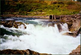
Photograph depicts white rapids at bottom of waterfall in Bulkley River, B.C. Fishing territory visible on far right; hill on opposite shore in background.
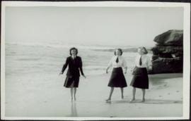
Photograph depicts three women standing on beach in their Women's Royal Canadian Naval Service uniform. Waves and rocks in background. Handwritten annotation on recto of photograph: "Do you believe this?" Left to right: Bridget Moran, Betty Pincombe (aka 'Chick'), and Grace Boice (aka Tommy).
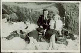
Photograph depicts three women sitting on beach in their Women's Royal Canadian Naval Service uniform. Purses and shoes lay beside them, large rock stands in background. Handwritten annotation on recto of photograph: "The California 'Beauties' 1946." Left to right: Betty Pincombe (aka 'Chick'), Bridget Moran, and Grace Boice (aka Tommy).
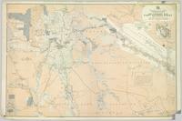
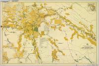
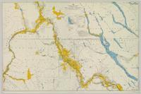
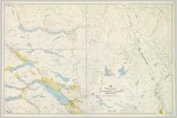
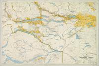
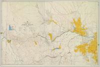
Colour-coded map depicting lands open for pre-emption, lands in “University Reserve,” and lands reserved for public auction. Depicts land recording divisions, communities, bodies of water, transport routes, and game reserves.
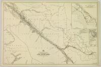
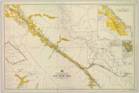
Map depicting surveyed lands, statutory timber lands, land recording divisions, game reserves, communities, bodies of water, and transport routes. Includes inset of McBride townsite.
Colour-coded map depicting lands surveyed as alienated, reserved, Statutory Timber Lands, B.C. Land Settlement Board Area, or open for pre-emption. Depicts land districts, land recording divisions, communities, game reserves, bodies of water, transport routes, and communication lines.
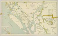
Colour-coded map depicting lands surveyed as alienated, reserved, and having a timber license, lease, or sale. Depicts land recording divisions, land district boundaries, communities, bodies of water, and transport routes. Includes insets of Stephens Island and Egeria Reach.
Geological topographic map. Geological Survey produced for the Department of Mines, Canada.
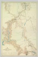
Topographic map depicting regions, communities, government posts. bodies of water, transport routes, surveyed areas, and reserves.
Colour-coded map depicting surveyed lands respectively open and closed to preemption. Depicts land recording divisions, game reserves, communities, bodies of water, and transport routes. Includes inset of McBride townsite.
Colour-coded map depicts lands surveyed as alienated, available for purchase or lease under Taxation Act, or reserved. Depicts land district boundaries, land recording divisions, triangulation stations, telegraph/telephone lines, communities, bodies of water, and transport routes.
Colour-coded topographic map depicting lands surveyed as alienated, available for purchase or lease under Land Act, or reserved. Depicts land district boundaries, land recording divisions, provincial forest boundaries, HBC posts, triangulation stations, telephone lines, communities, bodies of water, and transport routes.
Colour-coded topographic map depicts surveyed lands alienated, available for purchase or lease under Land Act, and available for pre-emption. Depicts land districts, land recording districts, provincial forests, parks, triangulation stations, communities, bodies of water, transport routes, and communication lines.
Colour-coded topographic map depicting surveyed lands alienated, available for purchase or lease, or available for pre-emption. Depicts land districts, land recording districts, parks, communities, bodies of water, transport routes, communication lines, and triangulation stations.
Shows routes and ports of call from Smith Sound to Portland Canal including locations of many canneries and mines now no longer extent.
Map is entitled "Latest Map of Fort George District" and published 1912. Includes Peace River Recording Land District, Fort George Land Recording District, and Cariboo Land Recording District. Several sections are marked with red pencil.
The map depicts the town of Kitimat and on the other side of the map there is an advertisement for Northland Shipping.
This photocopy of a 1911 pre-emptor's map depicts land parcels in the vicinity of the Fraser River, Salmon River, and Willow River in the Fort George and Peace River areas.
The map is part of an advertising pamphlet that depicts the Yellowhead Highway 16. The map highlights towns and tourist attractions along Highway 16 like Hazelton, Kitimat, Vanderhoof, Fraser Lake, Burns Lake, Fort St. James, Prince George, Terrace, and Smithers.
This 1967 centennial map depicts Canadian achievements from 1867 to 1967. The map includes over 73 moments, events, and people that have shaped Canada in the last one hundred years.
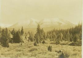
Photograph depicts a Rocky Mountain vista seen across a forested plateau.
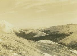
Photograph depicts a vista from the Canadian Rockies with patches of snow.
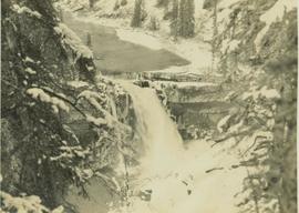
Photograph depicts a river leading into a waterfall amidst snow-covered trees.
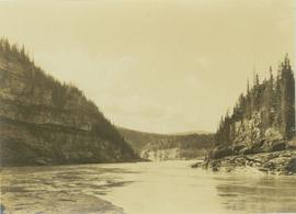
Photograph depicts the Peace River Canyon with the Peace River in the foreground and rocky, tree-lined cliffs flanking the river. In the background a forested mountain base is visible.
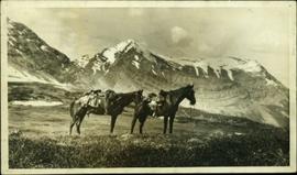
Photograph depicts the profiled image of two saddled horses from Knox McCusker’s pack train; a snow capped mountain range is visible in the background, ca. 1930. Caption on verso reads: “K. McCusker”.
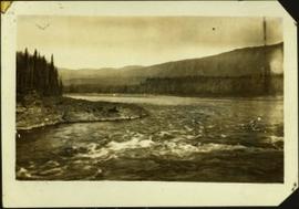
Handwritten caption below this photo reads: "Finlay River Rapids. - 1930."
A small peninsula extends into river in left midground, rapids in foreground, trees and hills on opposite shore in background.
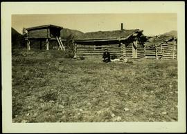
Photograph depicts a man seated with bundles and briefcase in front of two small log cabins with sod roofs. What appears to be an elevated log cache stands to left behind cabins, with a ladder raised to its door. Rocky, dry field crosses foreground, mountains visible in background.
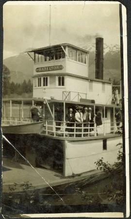
Photograph depicts a woman standing among men aboard a sternwheeler with the word "HAZELTON" above its deck. A man speculated to be the captain stands on deck to the left. Tree branches in foreground, opposite shore and mountains in background.
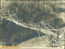
Close view of bridge built with wooden planks, poles, and wires, braced from below, with triangles built into its frame. The bridge crosses Hagwilget Canyon on the Bulkley River, five kilometres from its confluence with the Skeena River. This is one of the many bridge structures that have crossed this location since at least 1859. Photograph was taken from one side of canyon, near bridge. Opposite canyon wall in background. Typed annotation glued to verso of photograph: "HAGWILGET - 'the gentle or quiet people'."
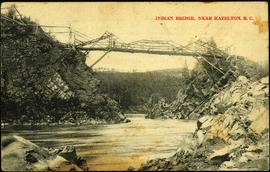
Photograph depicts two men and a horse on a bridge built with wooden planks, poles, and wires, braced from below, with triangles built into its frame. The bridge crosses Hagwilget Canyon on the Bulkley River, five kilometres from its confluence with the Skeena River. This is one of the many bridge structures that have crossed this location since at least 1859. Photograph was taken from a distance. Rocky riverbank in foreground, opposite shore in background behind bridge. Typed annotation in red ink on verso of photograph: "INDIAN BRIDGE, NEAR HAZELTON, B.C."
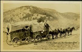
Handwritten annotation on verso of photograph: "Early Days on the Cariboo Road. No. 8." Photograph depicts man driving two covered wagons pulled by team of six horses on gravel road. Valley crosses midground, hills in background. Handwritten annotation on recto of photograph: "H. F. Glassey Esq. P.O Box 950 Prince Rupert B.C. Dear Bert: We have been kept very busy have been on committee work all through the convention but it was wonderful will write you a long letter from Vancouver. Mrs Earley wants me to stay until Monday morning train. Met Mr. [Colley?] everything going fine here. I am sure you are busy [...?] Love from Sadie. Mr & Mrs. [Graif?] are living here."
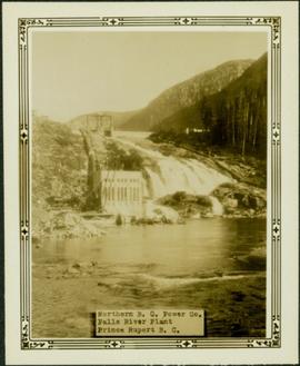
Photograph depicts power plant by waterfall. Extensive construction materials and structures can be seen scattered to left of plant. River in foreground, forest and hills in background. Typed annotation on verso of photograph: "Northern B.C. Power Co. Falls River Plant Prince Rupert B.C."
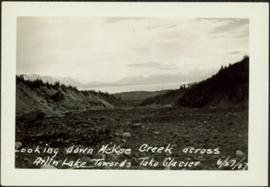
Photograph depicts dry creek bed, tall banks on either side. Hills and lake cross midground, mountains visible in background. Handwritten annotation on verso of photograph: "Looking down McKee Creek across Atlin Lake Towards Taku Glacier 6/27/37."
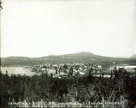
Photograph depicts the Atlin townsite, forest in foreground, hills in background. Town stands on edge of lake located in left midground. Handwritten annotation on verso of photograph: "Atlin City B.C., Sept. 3rd 1899. Copyrighted by S.A. Smythe Atlin, B.C."
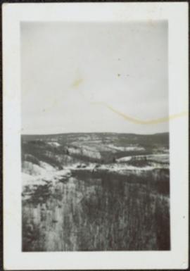
Photograph depicts men and haul trucks visible in distance on snowy road in tree-covered hills.
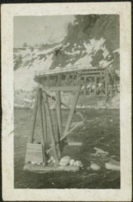
Photograph depicts bridge construction approaching unidentified river on opposite shore, unfinished pier in foreground. Steep riverbank in background.
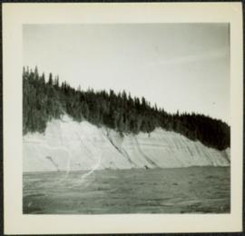
Photograph depicts unidentified river in foreground, trees on cliffs in background.
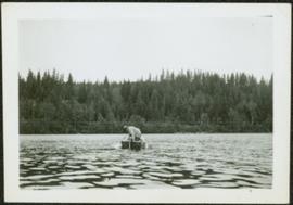
Photograph depicts small boat on unidentified river or lake, trees on opposite shore in background.
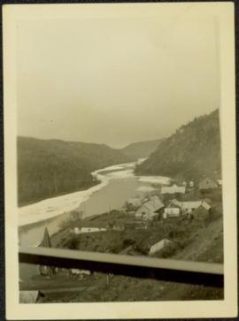
Photograph depicts town buildings and church on shore to right of river winding through hills. Metal bar speculated to be part of a bridge crosses foreground.
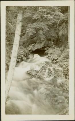
Photograph depicts water flowing from ground in forest. Handwritten annotation on recto of photograph: "Atlin, The Grotto, Outlet of a subterranean stream (in limestone) on way to O'Donnell River."
Photograph depicts a group of unidentified buildings in what appears to be an industrial area on opposite shore. River or lake in foreground, tree-covered hills in background.
