2009.5.2.224
·
Pièce
·
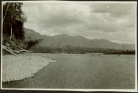
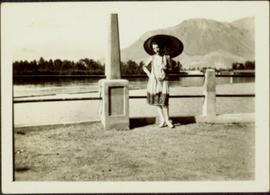
[ca. 1920]
Fait partie de Taylor-Baxter Family Photograph Collection
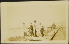
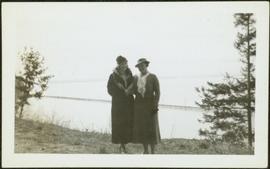
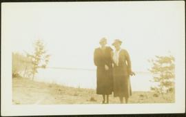
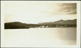
Unidentified woman stands with umbrella in public area on waterfront. Water crosses midground, opposite shore and mountain in background.