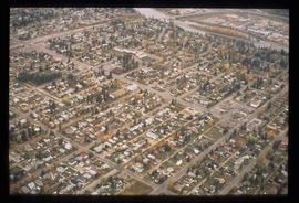
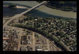
Image depicts an aerial view of a Prince George residential section between Highway 97, Carney Street and 10th Ave looking north. Map coordinates 53°54'54.0"N 122°46'00.4"W
File consists of notes, clippings, and reproductions relating to a downtown walking tour conducted by Sedgwick for the British Columbia Historical Federation 2003 conference. Also includes photographs depicting participants of the BC Historical Federation Conference on a downtown walking tour in Prince George (2003).
Item is an original 2003 city map depicting Vancouver and the Fraser Valley published by Rand Mc Nally, with annotations in highlighting.
File consists of clippings related to the Peace River region. Also includes photographs taken by Kent Sedgwick depicting Mackenzie, BC and the Peace River region (2003).
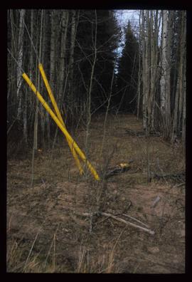
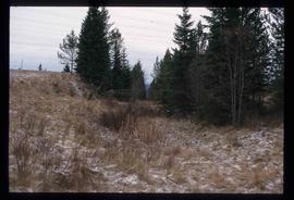
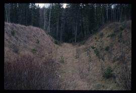
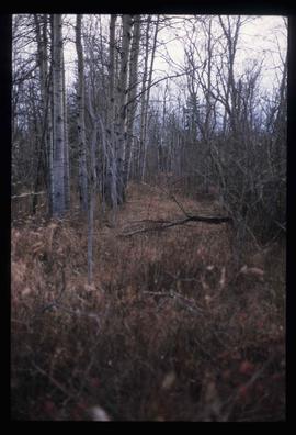
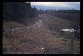
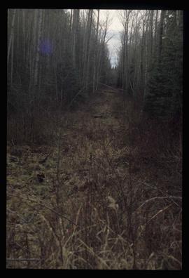
Image depicts a clearing through the woods, possibly an abandoned grade for the BCR. It is possibly located on Iron Road South, near Woodpecker B.C.
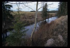
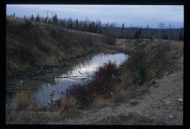
Image depicts Iron Road North, and a creek surrounded by trees. Located north of Woodpecker, B.C.
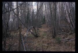
Image depicts a forest, possibly somewhere near Woodpecker, B.C.
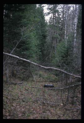
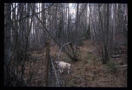
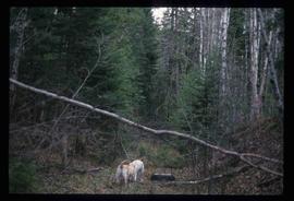
Image depicts a dog in a forest, possibly somewhere near Woodpecker, B.C.
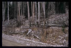
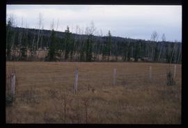
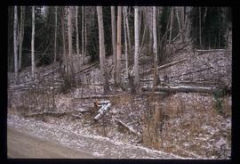
Image depicts a tree line in Woodpecker, B.C.
Image depicts a view south, possibly of an abandoned grade for the BCR; possibly somewhere near Woodpecker, B.C.
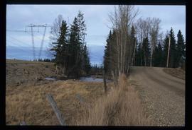
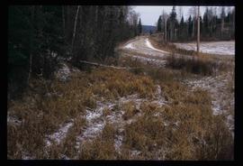
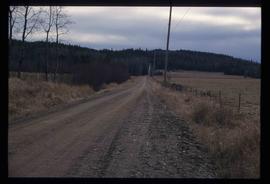
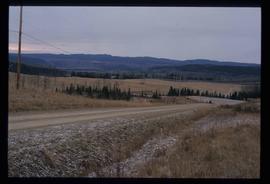
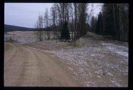
Image depicts a north view of a road somewhere in Woodpecker, B.C.
File contains slides depicting Mud River.
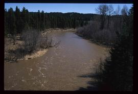
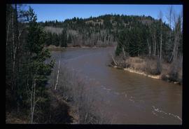
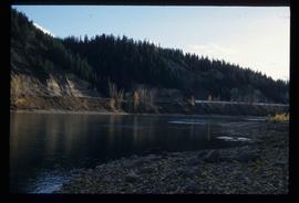
Image depicts the Mud River.
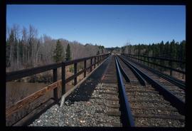
Image depicts a rail road bridge over the Mud River.
File consists of notes, clippings, and reproductions relating to the British Columbia Historical Federation (BCHF) conference of 2003. Includes: the 2003 BCHF conference schedule, titled "Work and Society: Perspectives on Northern BC History" (May 2003); "RE: BC Historical Federation Conference" typed letter from the Regional District of Fraser-Fort George to Kent Sedgwick (24 Feb. 2003); and "Organizing Committee Members" typed letter from the City of Prince George to Kent Sedgwick (17 Feb. 2003).
File consists of notes and reproductions relating to "Northern Approaches to New Caledonia" lecture conducted by Kent Sedgwick, relating to the article he wrote on "Crossing the Divide: Northern Approaches to New Caledonia". File predominantly contains Kent Sedgwick's handwritten notes and notes and transparent sheets of film depicting various maps of northern British Columbia. File also contains photographs depicting various maps (Oct. 2002).
File consists of notes and reproductions relating to Penny. Also includes photographs depicting various areas of Penny (2004).
Image depicts a creek near Iron Road North, north of Woodpecker, B.C.
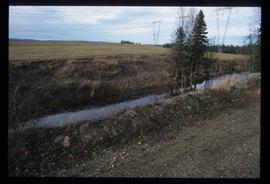
Image depicts a ditch near a road somewhere in Woodpecker B.C.
Image depicts a pair of dogs in a forest, possibly somewhere near Woodpecker, B.C.
Image depicts a forest, possibly somewhere near Woodpecker, B.C.
Image depicts a tree line in Woodpecker, B.C.
Image depicts Iron Road South, which is located north of Woodpecker, B.C.
Image depicts a creek near Iron Road North, north of Woodpecker, B.C.
Image depicts a pair of dogs in a forest, possibly somewhere near Woodpecker, B.C.
Image depicts a tree line in Woodpecker, B.C.
Image depicts a road somewhere in Woodpecker, B.C.
Image depicts the Mud River.
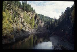
Image depicts the Cottonwood Canyon.
File consists of notes, clippings, and reproductions relating to Kent Sedgwick's guest lecture at the University of Northern British Columbia on Prince George. Includes: "Situating Prince George" handwritten lecture notes by Kent Sedgwick (2006) and "Geography of British Columbia" university syllabus (2003). Also includes a CD-R "Situating P.G". containing Kent Sedgwick's notes and photographs (Mar. 2006).
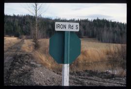
Image depicts the street sign for Iron Road South, which is located north of Woodpecker, B.C.
Image depicts a clearing through the woods, possibly an abandoned grade for the BCR. It is possibly located on Iron Road South, near Woodpecker B.C.
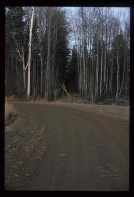
Image depicts a back road at an uncertain location, possibly near Iron Road North, north of Woodpecker, B.C.
Image depicts a water-filled ditch near a road somewhere in Woodpecker B.C.
Image depicts a north view of a road somewhere in Woodpecker, B.C.
File consists of notes, clippings, and reproductions relating to historical and contemporary natural resource surveys in British Columbia. Includes material on oil discovery, farming conditions, timber stands, the Alaskan Highway, and railway development. File predominantly consists of search results from the University of Northern British Columbia library, College of New Caledonia library, and Prince George Public Library regarding British Columbia's natural resource surveying.
File consists of reproductions and pamphlets relating to outdoor recreation in Prince George. Includes material regarding bird watching, fishing, hiking, and regional and provincial parks. Includes: "Prince George Backroads" clipped article from The Angler's Atlas magazine (Sept. 2004); "Bird Viewing around Prince George" pamphlet prepared by the Province of British Columbia Ministry of Environment, Lands and Parks in cooperation with the Prince George Naturalist Club; "Forests for the World" pamphlet prepared by the City of Prince George; and "Regional Parks" pamphlet prepared by the Regional District of Fraser-Fort George.
File consists of notes and typed documents relating to a field trip along the East Line for the Planning Institute of British Columbia.
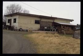
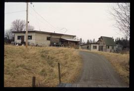
Image depicts a cookhouse at an uncertain location.
File consists of notes and reproductions relating to pre-emption crown land grants between 1869 until 1912 in British Columbia, primarily in Prince George. File primarily consists of printed copies of pre-emptor maps of Prince George and region from the Royal BC Archives and Museum.
File consists of notes and reproductions relating to Prince Arthur the Duke of Connaught, the third son of Queen Victoria who took the place of Governor General in Canada in 1911. Connaught Hill in Prince George was named in rememberance after Prince Arthur. File predominantly consists of printed websites and newspaper articles describing Prince Arthur, the Duke of Connaught, and his role as Governor General.
Image depicts a view of the south direction of the grade for the British Columbia Railway, which was formerly known as the Pacific Great Eastern until 1972. It is at an uncertain location, possibly near Woodpecker or Prince George.
Image depicts a cookhouse at an uncertain location.
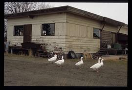
Image depicts a cookhouse at an uncertain location.
File consists of notes and reproductions relating to Cottonwood Island in Prince George, formerly named Island Cache and Foley's Cache. Includes: "A brief history of Cottonwood Island Park" typed document by Kent Sedgwick (Nov. 2009).
File consists of notes and reproductions relating to the Hudson's Bay Company subdivision. Includes material on the subdivision, survey, and sale of lands in Fort George owned by the Hudson's Bay Company.
Image depicts a cookhouse at an uncertain location.
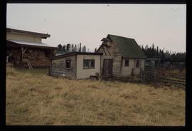
Image depicts two small sheds at an uncertain location. The slide labels them as "Giscome bldgs in Blackburn."
Image depicts the Fraser River at Paddlewheel park, with a train on the other side of the river, in Prince George B.C.
Image depicts Ash Street and Patricia Boulevard in Prince George, B.C.
