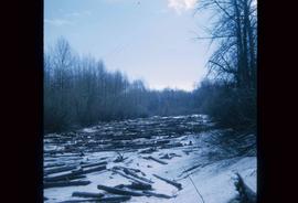
Image depicts an area of cut trees at Island Cache.
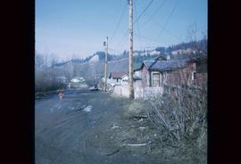
Image depicts numerous houses, and an unknown child standing in a street at Island Cache.
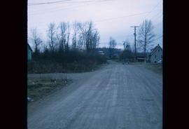
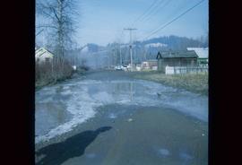
Image depicts a street in Island Cache.
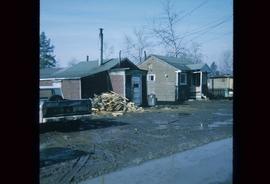
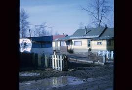
Image depicts a few houses in Island Cache.
Image depicts a street in Island Cache.
Image depicts Wells, B.C.
File consists of clippings, notes, and reproductions relating to heritage homes in Central Fort George. Includes a "BC Rail" typescript letter from Dick Rowe at BC Rail to Kent Sedgwick (10 Nov. 1987); "Irene Jordan brothel location" handwritten notes by Kent Sedgwick (1990); and "Heritage inventory record" booklet describing heritage buildings in Prince George (1990). Also includes photographs depicting veteran housing on Burden Street in Prince George; a house at the address 510 Douglas Street in Prince George (2003); and Erle's Iron Works shop with a man outside welding the turrets for the Sikh temple (Aug. 1990).
File contains slides depicting places along the east line of the BC Railway. Some are duplicates of the images found in the "East Line, Dome Creek - Lamming Mills - Misc" file.
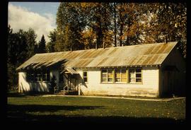
Image depicts a two-room schoolhouse in Penny, B.C.
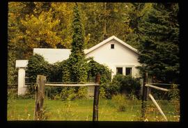
Image depicts a house with ivy growing over it. The location is uncertain.
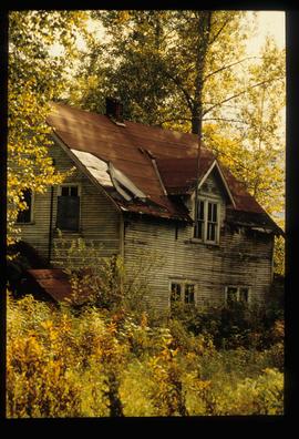
Image depicts an old house with a torn up roof. The location is uncertain.
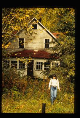
Image depicts an old house in Penny and a woman, possibly Sue Sedgwick, standing in front of it. The location is uncertain.
File contains slides depicting a hike near the Geraldine Lakes.
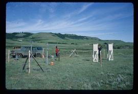
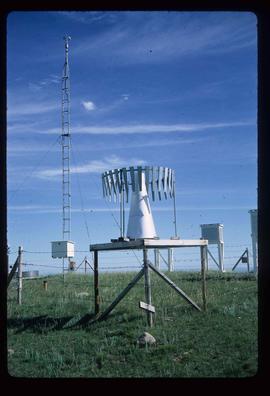
Image depicts two unidentified individuals and a van on a farm at an uncertain location, possibly a place called Cypress Hill, with an atmometer and a sunshine recorder.
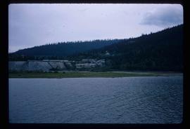
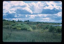
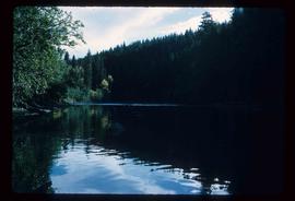
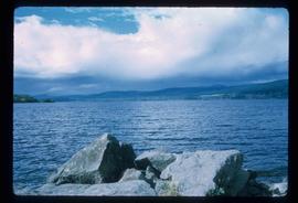
Image depicts the shore line and surrounding land of a lake or river at an airport, possibly in Prince George, B.C.
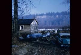
Image depicts several old, ruined cars and an unknown individual in Island Cache.
File contains slides depicting Highway 16 West, from Isle Pierre to Hazelton.
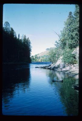
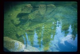
Image depicts the Stellako River.
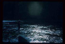
Image depicts a Fisherman wading in the Stellako River.
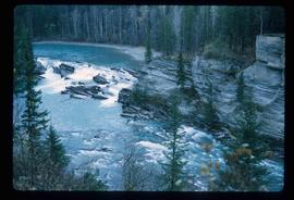
Image depicts the Rearguard Falls in Rearguard Falls Provincial Park near Tête Jaune Cache along the Yellowhead Highway.
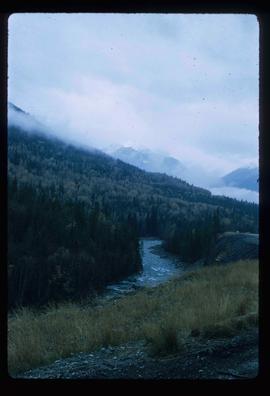
Image depicts a view of what is possibly the Yellowhead Pass on the British Columbia-Alberta border, west of Jasper A.B.
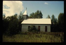
Image depicts a church at an uncertain location.
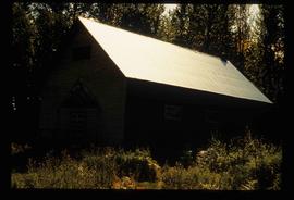
Image depicts what appears to be a shed at an uncertain location.
File contains slides depicting places along the east line of the BC Railway.
Series consists of photographs taken and collected by Kent Sedgwick that primarily depict communities within the Central Interior of British Columbia, especially Prince George, Giscome, and the East Line area. Kent Sedgwick used photography to document the development and history of the natural and built landscape of the British Columbia Central Interior. The photographs depict geographic features, landscapes, previous settlements, architectural history, and industrial history.
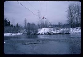
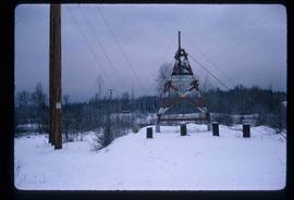
Image depicts the cableway, stretching over a river, in Willow River, B.C.
Image depicts the cableway in Willow River, B.C.
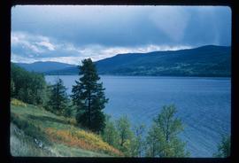
Image depicts a view of Francois Lake.
File contains slides depicting Island Cache on Cottonwood Island in Prince George, B.C.
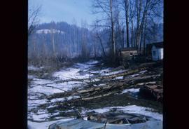
Image depicts some fallen trees at Island Cache.
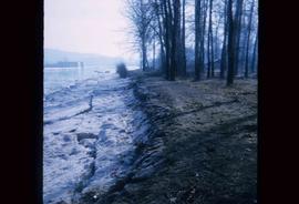
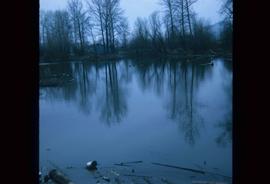
Image depicts the bank of the Nechako River at Island Cache.
Image depicts a few houses and a dog on a porch at Island Cache.
Image depicts a body of water in Island Cache. It is possibly a small section of the Nechako River.
File contains slides depicting Highway 97 South.
Image depicts the Fraser River from Highway 97 near Quesnel, B.C.
Image depicts a couple of salmon in the Stellako River.
Image depicts a view of Francois Lake.
File contains slides depicting places in the area around Williams Lake, Clinton, and the Fraser Canyon.
Image depicts a clearing at Island Cache.
File contains slides depicting items and photographs in a museum.
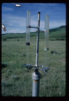
Image depicts an atmometer. According to the slide, it is being used for measuring the rate of water evaporation "from carborundum stone." The location is uncertain.
Image depicts a snow gauge at an uncertain location.
File contains slides depicting landforms at various locations.
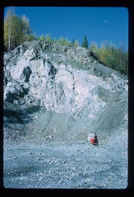
Image depicts what is possibly an intrusive volcanic landform somewhere near Miworth, B.C.
File contains slides depicting places in and between McBride and the Yellowhead Pass via the Yellowhead Highway.
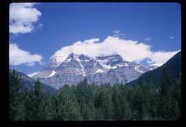
Image depicts Mt. Robson.
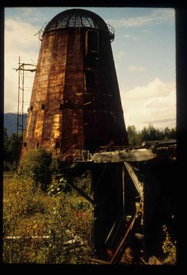
Image depicts an old beehive burner at an uncertain location.
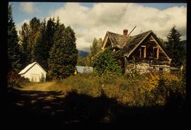
Image depicts an old and abandoned cabin with ivy growing up the side. The location is uncertain.
Subseries consists of material collected and created by Kent Sedgwick for research regarding parks and outdoor recreation in Prince George. Material on parks includes Fort George Park (renamed to Lheidli T’enneh Memorial Park in 2015); Cottonwood Island Park; Connaught Hill; Moore's Meadow; L.C. Gunn Park; the Nechako Cutbanks; Paddlewheel Park; Monkman Provincial Park; Fraser Canyon Park; and Carp Lake. Also includes information on the creation of plaques and monuments, including the Alexander Mackenzie monument; the “Arrival of Steel” CN railway plaque; heritage interpretative signs for the Grand Trunk Pacific Railway; the Millar addition; and flooding and rivers. The files consists of various pamphlets and correspondence regarding the development of parks and the creation of interpretive materials.
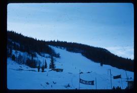
Image depicts the slopes of Tabor Mountain in Prince George, B.C.
