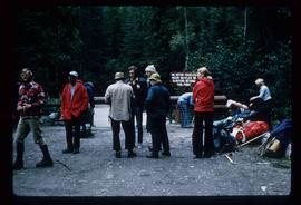
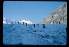
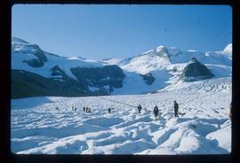
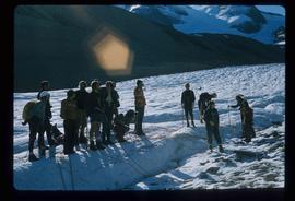
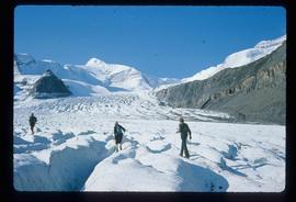
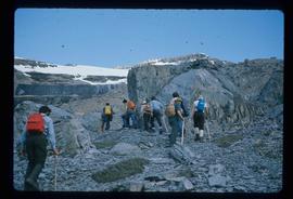
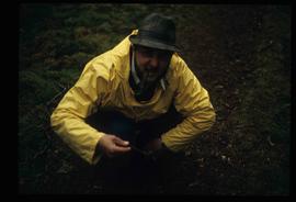
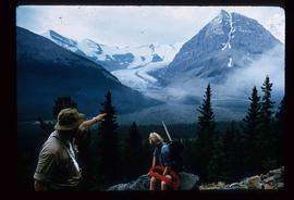
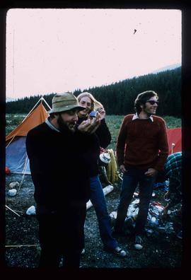
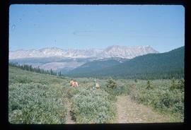
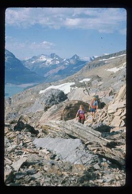
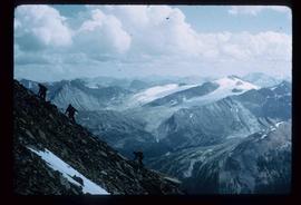
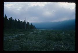
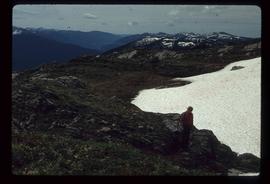
2012.13.1.56.74
·
Item
·
1973
Part of J. Kent Sedgwick fonds
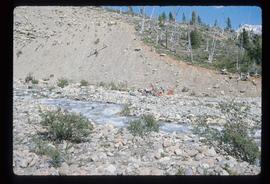
Image depicts a group of people standing near a river. A glacier is visible in the background.