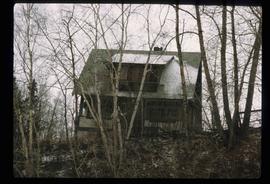
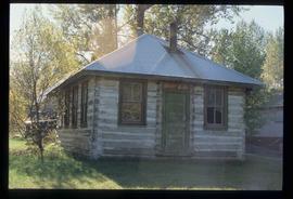
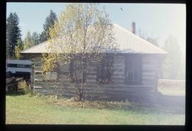
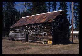
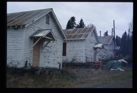
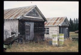
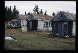
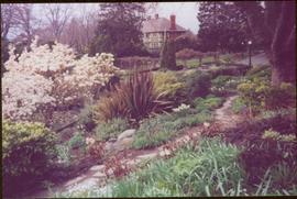
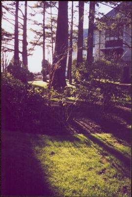
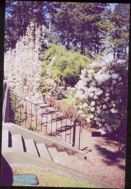
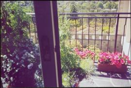
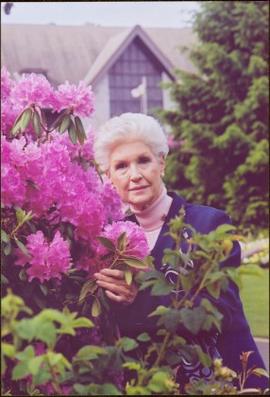
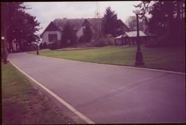
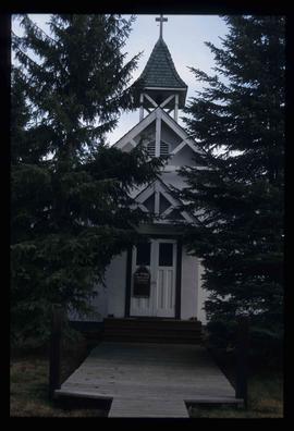
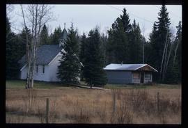
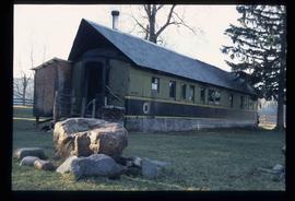
Image depicts College Heights, particularly along Gladstone Drive, in Prince George, B.C.
Image depicts a trailer park by either the Fraser or Nechako River in Prince George, B.C.
Image depicts the intersection of 15th Ave and Highway 97 in Prince George, B.C.
Image depicts a house somewhere in the South Fort George subdivision of Prince George, B.C.
Image depicts the Exhibition Sports Centre, which used to be a drill hall army base, on Keller Street in Prince George, B.C.
Image depicts a house, most likely on Thompson Drive in Prince George, B.C.
Image depicts the old Myatovic schools.
Photograph taken at terrace gardens, Government House in Victoria, B.C.
Image depicts a few storage sheds somewhere in Prince George, B.C.
Image depicts a street of houses somewhere in Prince George, B.C.
Image depicts a street of businesses, possibly 3rd Avenue, in Prince George, B.C.
Image depicts the old Myatovic schools.
Stone wall runs in background. Photograph was taken at Terrace Gardens, Government House, Victoria, B.C. See item 2009.6.1.660 for similar image.
Photograph taken at Terrace Gardens, Victoria, B.C.
Photograph taken at Government House, Victoria, B.C.
Balcony overlooks Terrace Gardens in Victoria, B.C.
Photograph features Terrace Gardens.
Image depicts a the teacherage building in Red Rock.
Image depicts an aerial view of what is possibly an outlying area of Prince George, B.C.
Image depicts the Royal Canadian Legion building on 7th Ave and the Inn of the North Coast Hotel in the background. Map coordinates 53°54'50.6"N 122°44'56.1"W
Image depicts a sawmill in the Danson Industrial Park in Prince George, B.C.
Image depicts an aerial view of downtown Prince George, B.C.
Image depicts an aerial view of the BC Rail, in Prince George, B.C. It is now known as CN Rail.
Image depicts the Aquatic Centre in Prince George, B.C.
Image depicts the Prince George Civic Centre.
Image depicts the Prince George Public Library.
Image depicts the Exhibition Sports Centre, which used to be a drill hall army base, on Keller Street in Prince George, B.C.
Image depicts a few buildings, possibly an old school and teacherage, in Hixon, B.C.
Possibly the ‘Iona Campagnolo’ rhododendron.
Road and lampstands in foreground, Government House in background.
Image depicts an aerial view of a Prince George residential section between Highway 97, Carney Street and 10th Ave looking north. Map coordinates 53°54'54.0"N 122°46'00.4"W
Image depicts the Carter Industrial Area in Prince George, B.C.
Image depicts Glenview Drive near the Hart Highway in Prince George, B.C.
Image depicts an aerial view of Pine Centre Mall and Masich Place Stadium in Prince George, B.C.
Image depicts a the Danson Industrial Park in Prince George, B.C.
Image depicts the power lines in the Hixon area south of Prince Georg, B.C.
Image depicts the Prince George Multiplex.
Image depicts the Prince George Public Library from 7th Ave.
Image depicts a building which is a part of the Studio 2880 Arts Complex on 15th Avenue in Prince George, B.C.
Image depicts a house somewhere in Prince George, B.C.
Image depicts an old building, possibly the old teacherage, somewhere in Hixon, B.C.
Image depicts an old building, possibly the old school, somewhere in Hixon, B.C.
Image depicts a wood cabin with antlers somewhere in Mud River, B.C.
Image depicts a rail road bridge over the Mud River.
Image depicts St. Mark's Anglican Church in Woodpecker, B.C.
Image depicts the St. Mark's Anglican Church and a small house in Woodpecker, B.C.
Image depicts a house made from a rail car in an uncertain location. It could be in Hixon, Red Rock, or Woodpecker, B.C.