Showing 352 results
Archival description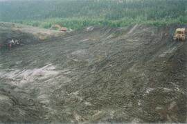
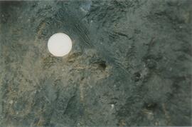
Gold Bottom upper pit (2)
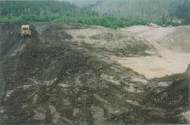
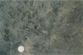
Gold Bottom upper pit (3)
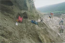
Site Y04-03 (1)
Site Y04-03 (2)
Site Y04-03 (3)
Site Y04-03 (4)
Site Y04-03 (5)
Site Y04-03 (6)
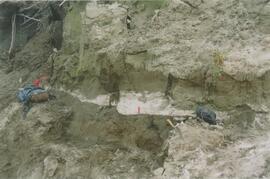
Site Y04-04 detail (1)
Site Y04-04 detail (2)
Site Y04-04 detail (3)
Site Y04-04 detail (4)
Site Y04-04 detail (5)
Site Y04-04 detail (6)
Site Y04-04 (1)
Site Y04-04 (2)
Site Y04-04 (3)
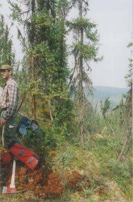
Grant Zazula at Goldbottom (1)
Grant Zazula at Goldbottom (1)
Grant Zazula at Goldbottom (2)
Grant Zazula at Goldbottom (2)
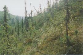
Gold Bottom transect - north aspect lower slope (1)
Gold Bottom transect - north aspect lower slope (2)
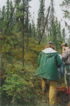
Gold Bottom transect - north aspect lower slope (3)
Gold Bottom transect - north aspect lower slope (4)
Gold Bottom transect - north aspect lower slope (5)
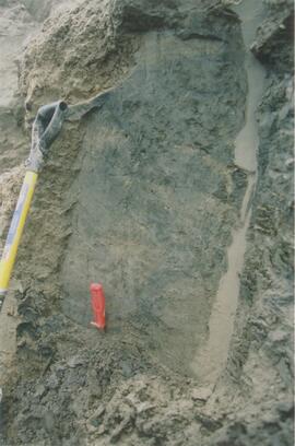
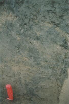
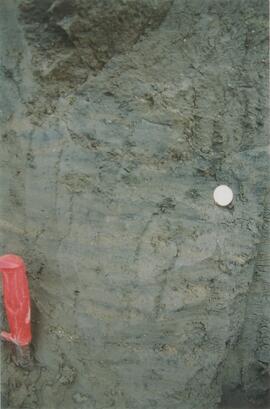
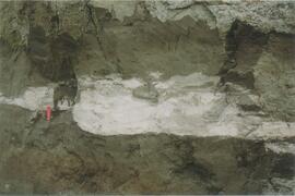
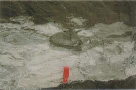
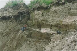
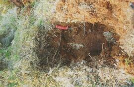
Ice under Dawson tephra at Gold Bottom (1)
Ice under Dawson tephra at Gold Bottom (1)
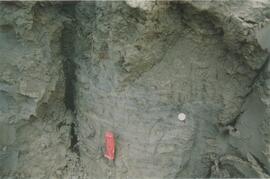
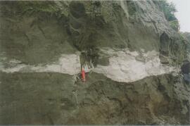
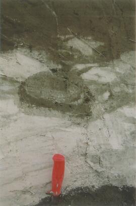
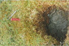
Ice under Dawson tephra at Gold Bottom (2)
Ice under Dawson tephra at Gold Bottom (2)
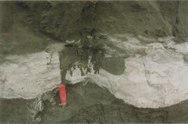
Ice under Dawson tephra at Gold Bottom (3)
Ice under Dawson tephra at Gold Bottom (3)
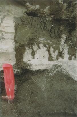
Ice under Dawson tephra at Gold Bottom (4)
Ice under Dawson tephra at Gold Bottom (4)
Tarnocai and Smith Yukon Paleosol Study (1983) soil description forms
Tarnocai and Smith Yukon Paleosol Study (1983) soil description forms
Tarnocai and Smith lab data sheets for Yukon Paleosol Study soil samples
Tarnocai and Smith lab data sheets for Yukon Paleosol Study soil samples
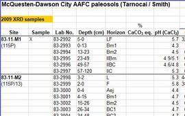
McQuesten-Dawson City paleosol data for Yukon Paleosol Study

Wounded Moose geochemistry paleosol data for Yukon Paleosol Study
Yukon Paleosol Study topographical NTS map scans
Yukon Paleosol Study topographical NTS map scans
Air photographs of Fort Selkirk volcanic field, Yukon
Air photographs of Fort Selkirk volcanic field, Yukon
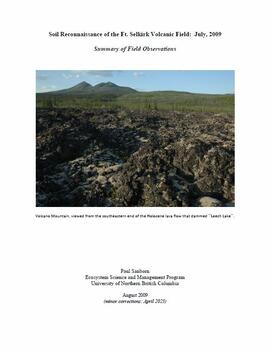
"Soil Reconnaissance of the Ft. Selkirk Volcanic Field: July, 2009 - Summary of Field Observations"

Fort Selkirk volcanic field soil reconnaissance data
Fort Selkirk volcanic field images
Fort Selkirk volcanic field images
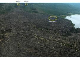
Holocene basalt flows south of Volcano Mountain

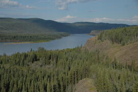
Pelly River and Yukon River confluence

Pelly River and Yukon River confluence
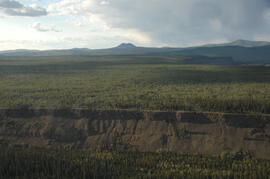
Early Pleistocene basalt cliffs on the north side of the Yukon River
Early Pleistocene basalt cliffs on the north side of the Yukon River

Early Pleistocene basalt cliffs on the north side of the Yukon River

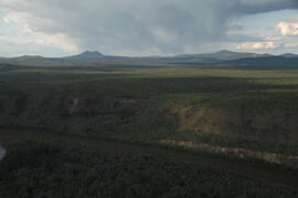
North side of the Yukon River, mid-Pleistocene basalts west of gully

Wilderness trombone at Camp 1
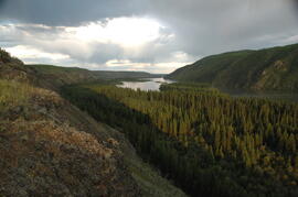
Camp 1, facing east up the Yukon River
Camp 1, facing west down the Yukon River
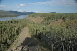
Camp 1, facing west down the Yukon River

Near Camp 1, facing west down the Yukon River

Camp 1, facing southwest