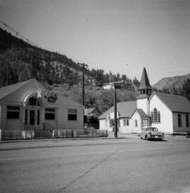
Photograph depicts a liquor store and church on Main St. in Lillooet, B.C.
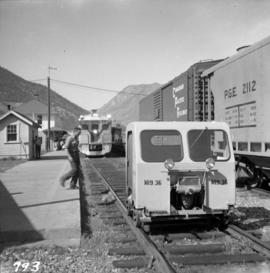
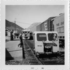
Photograph depicts the Pacific Great Eastern depot in Lillooet. The 4:05 pm train is about to depart for Vancouver, with a speeder leaving to check rock falls along Seton and Anderson lakes.
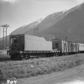
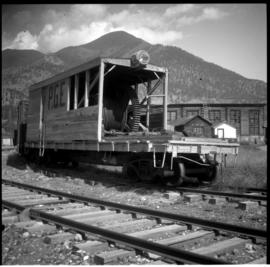
Photograph depicts the Pacific Great Eastern depot in Lillooet. In the photograph is an old locomotive tender on a flat car, used as a mobile water tank for the work crew train.
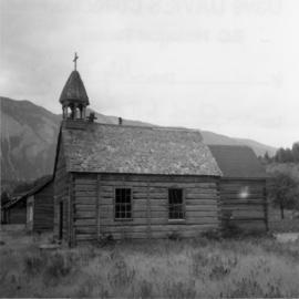
Photograph depicts a church that was built of shaped logs on the territory of the Tsal'alh Nation on the road leading to Seton Lake. Church was derelict, but still held pews, plastic flowers and small shrines.
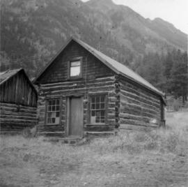
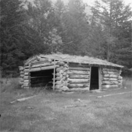
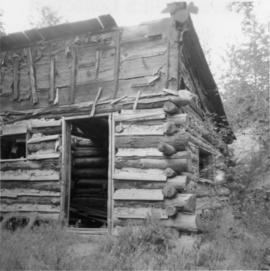
Photograph depicts a log cabin that was inhabited by an older aboriginal man who is visible in the window. The cabin was perhaps 100 years old.
Photograph depicts a southbound Budd car train about to deport.
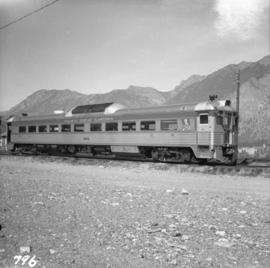
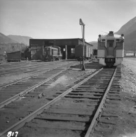
Photograph depicts Pacific Great Eastern Budd car #10 at the Lillooet yards. It is in good condition, but not in service when the photograph was taken.
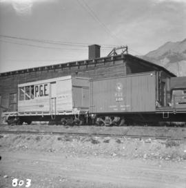
Photograph depicts the Pacific Great Eastern auxiliary tool cars at Lillooet.
Photograph depicts a Pacific Great Eastern engine shed at Lillooet. At the right is Budd car #10 and at the left is an unidentified diesel.
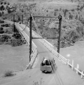
Photograph depicts a car crossing the Lillooet Suspension Bridge (also known as the Lillooet Old Bridge) over the Fraser River.
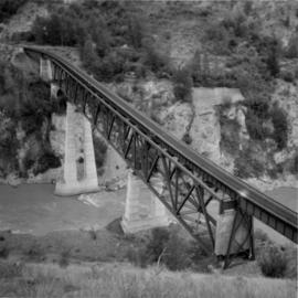
Photograph depicts a PGE crossing over the Fraser River, north of Lillooet. Visible on the far bank was an old grade that led to a former bridge about a mile downstream.
Photograph depicts a cattle shed located 3 miles east of Pavilion Lake, which is 15 miles northeast of Lillooet. It may have been a settler's cabin at one time.
Photograph depicts an abandoned cabin about 100 yards from the Fraser River on Bridge River road, about 2 miles out of Lillooet.
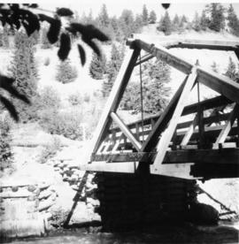
Photograph depicts Moha Bridge which crosses the Yalakon River. Taken at the side of a derelict mining village.
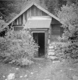
Photograph depicts the Moha "ghost" vilage, 20 miles west of Lillooet, at the fork of Bridge and Yalako Rivers. It used to be a gold mining village. About 8 houses/cabins were left standing, but none were occupied. Displayed is one that had 2 ft. thick walss to waist height, as shown.
Photograph depicts an auxillary car with a powered winch found at the Pacific Great Eastern yards in Lillooet. Inside the roundhouse in the background was a boiler room that contained a locomotive boiler in working order.
File contains slides depicting places in the Lillooet area.
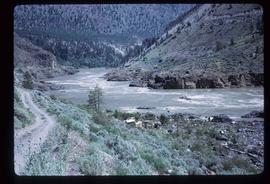
Image depicts the Fraser River in the Lillooet, B.C.
Image depicts the Fraser River somewhere in the Lillooet area.
Image depicts the Fraser River from the Moran railway point in the Lillooet area.
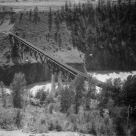
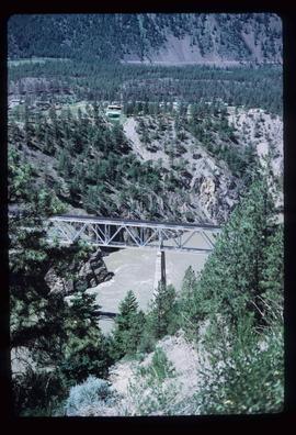
Photograph depicts a PGE crossing over the Fraser River.
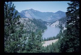
Image depicts a view of the Fraser River near Lillooet, B.C.
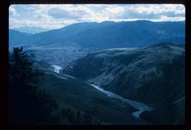
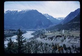
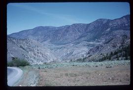
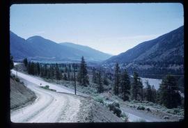
Image depicts a view of the Fraser River and the mountains surrounding Lillooet, B.C.
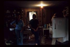
Image depicts three unknown individuals in a kitchen somewhere in Lillooet, B.C. They are possibly archaeology students.
Image depicts the Fraser River near Lillooet, B.C.
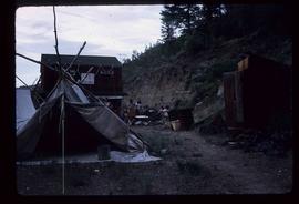
Image depicts a gathering of people for an uncertain event at an uncertain location, possibly in Lillooet, B.C. A few tents are set up in the picture.
Image depicts the Fraser River near Lillooet, B.C.
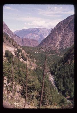
Image depicts a view of the mountains surrounding Lillooet, B.C.
Image depicts a rail road bridge over the Fraser River, possibly somewhere in the Lillooet area.
Image depicts an irrigation ditch in Lillooet, B.C.
Image depicts an irrigation ditch in Lillooet, B.C.
Image depicts a view of the Fraser River in Lillooet, B.C.
Image depicts a view of the Fraser River in Lillooet, B.C.
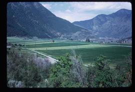
Image depicts a view of the mountains surrounding Lillooet, B.C.
Image depicts some farmland in Lillooet, B.C.
Image depicts the Bridge River near Lillooet, B.C.
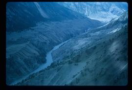
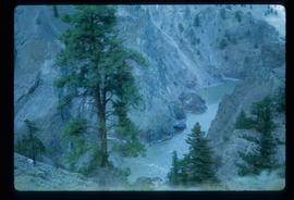
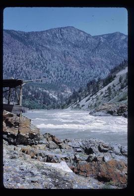
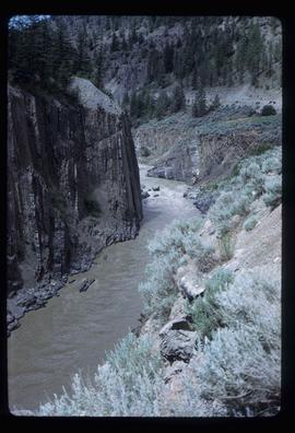
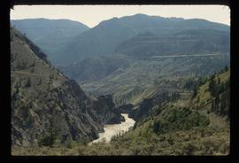
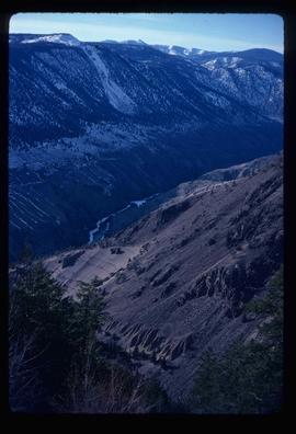
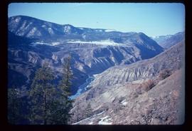
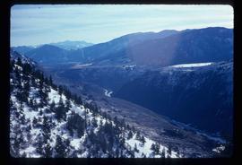
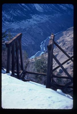
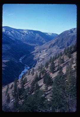
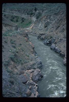
Image depicts the Fraser River running through the Moran Canyon near Lillooet, B.C.
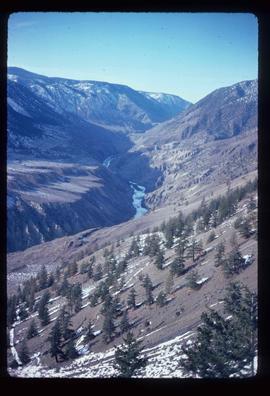
Image depicts an area around Lillooet, B.C. It is possibly the Fraser River running through the Moran Canyon.
Image depicts the Fraser River running through the Moran Canyon near Lillooet, B.C.
Image depicts the Fraser River running through the Moran Canyon near Lillooet, B.C.
Image depicts the Fraser River running through the Moran Canyon near Lillooet, B.C.
Image depicts the Fraser River running through the Moran Canyon near Lillooet, B.C.
Image depicts the Fraser River running through the Moran Canyon near Lillooet, B.C.
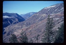
Image depicts the Moran Canyon near Lillooet, B.C.
Image depicts the Moran Canyon near Lillooet, B.C.
Image depicts what is possibly the Fraser River running through the Moran Canyon near Lillooet, B.C.
File contains slides depicting places around and between Lillooet and Howe Sound.
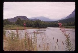
Image depicts the Lillooet River at the head of Lillooet Lake.
Image depicts a view of the scenery near Lillooet, B.C.
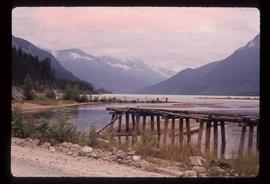
Image depicts the head of Lillooet Lake.
