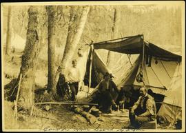
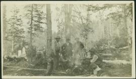
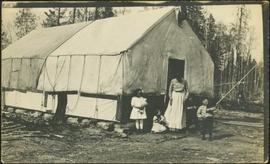
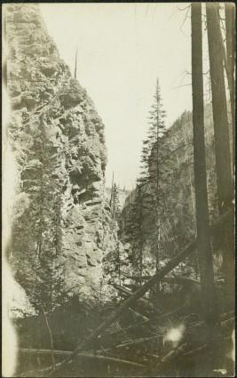
2012.13.1.53.41
·
Item
·
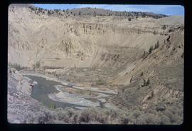
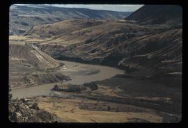
July 1980
Parte de J. Kent Sedgwick fonds
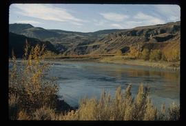
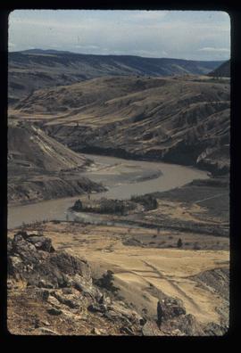
Image depicts the Fraser River near Lillooet, B.C.