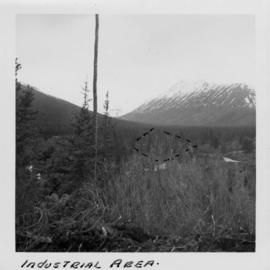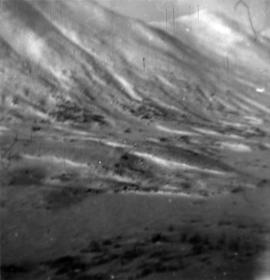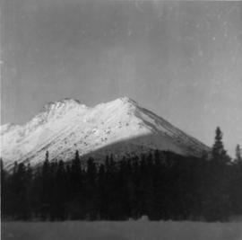
2000.1.1.1.02.10
·
Pièce
·
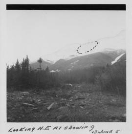
13 June 1951
Fait partie de Cassiar Asbestos Corporation Ltd. fonds
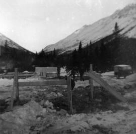
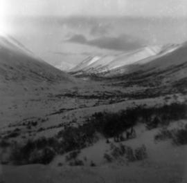
Photograph depicts a rocky clearing in a wooded area, snow-capped mountain in background. Outline of mountaintop is sketched on photograph in pencil, projected mining area is outlined in blue ink.