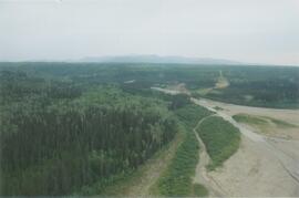
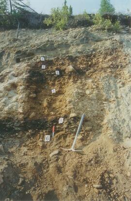
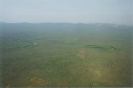
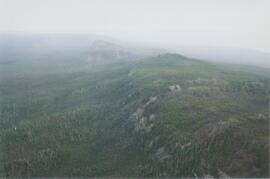
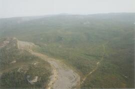
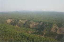
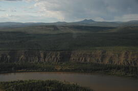
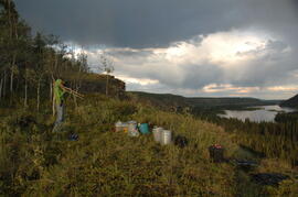
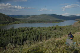
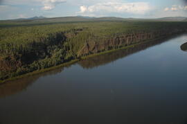
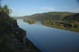
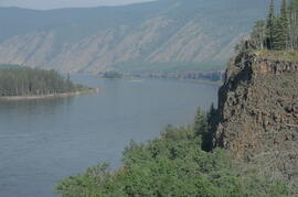
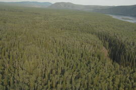
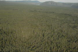
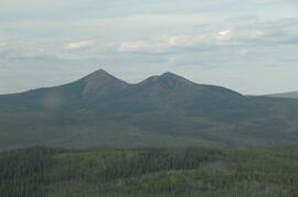
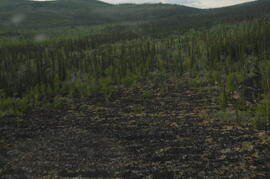
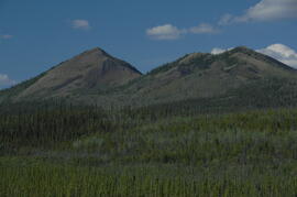
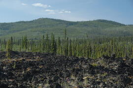
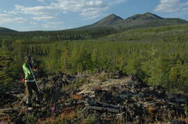
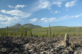
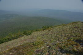
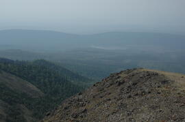
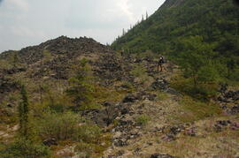
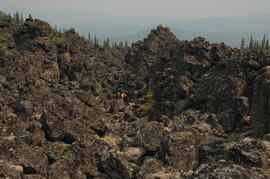
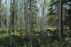
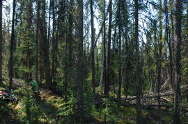
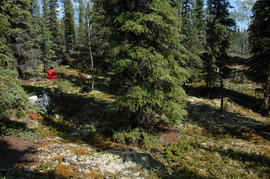
Photograph depicts the Mackenzie Valley and the Franklin Mountains.
During the 1980s, Agriculture Canada pedologists Scott Smith (retired from Summerland Research Station, formerly based in Whitehorse) and Charles Tarnocai (retired from Central Experimental Farm, Ottawa) had a large field program which addressed the trends in soil development in the central Yukon. Across this region, particularly between Whitehorse and Dawson City, the land surfaces and surficial deposits vary greatly in age due to the differing extents of glaciations over the past ~2 million years.
Tarnocai and Smith shared the unpublished data and soil samples from this work with Dr. Paul Sanborn, and this resulted in a student project published as:
Daviel, E., P. Sanborn, C. Tarnocai, and C.A.A. Smith. 2011. Clay mineralogy and chemical properties of argillic horizons in central Yukon paleosols. Canadian Journal of Soil Science 91: 83-93. https://doi.org/10.4141/cjss10067
This file consists of photocopies of 76 detailed soil description forms from the 1983 Yukon Paleosol Study by Tarnocai and Smith.
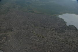
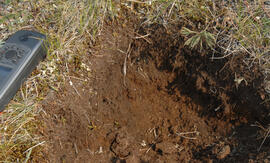
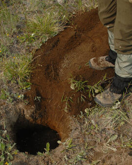
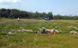
In July 2009, Dr. Paul Sanborn undertook the first soils field research at the Fort Selkirk volcanic field in central Yukon, with helicopter support and funding from the Yukon Geological Survey. This file consists of prints of aerial photographs that depict the area accessed for the study, upstream from the confluence of the Yukon River and the Pelly River.
Air photographs include:
Flight line A17210, Photo Nos. 54-60 (taken 1960)
Flight line A22354, Photo Nos. 43-45, 47-48 (taken 1971)
Flight line A27516, Photo Nos. 48-52 (taken 1989)
In July 2009, Dr. Paul Sanborn undertook the first soils field research at the Fort Selkirk volcanic field in central Yukon, with helicopter support and funding from the Yukon Geological Survey. This file includes the following data sets gathered from the research:
- Ft Selkirk 110114069.xls [particle size analysis data, CANTEST]
- S1090final.xlsx [chemical analysis data, Ministry of Forests & Range, Analytical Chemistry Laboratory]
- S1112final.xlsx [chemical analysis data, Ministry of Forests & Range, Analytical Chemistry Laboratory]
- Ft Selkirk 2009 soils data (updated Sept 15, 2010 and April 10, 2023).xls [consolidated lab data for all 2009 samples]
This image appears as Figure 8 in the publication:
Sanborn, P., 2010. Soil reconnaissance of the Fort Selkirk volcanic field, Yukon (115I/13 and 14).
In: Yukon Exploration and Geology 2009, K.E. MacFarlane, L.H. Weston and L.R. Blackburn
(eds.), Yukon Geological Survey, Whitehorse, Yukon. pp. 293-304. https://emrlibrary.gov.yk.ca/ygs/yeg/2009/2009_p293-304.pdf
The Kluane Lake area of SW Yukon was a continuing focus of Dr. Paul Sanborn's research for more than a decade, and generated several productive collaborations. Key themes included biological soil crusts in boreal grasslands, and interactions between aeolian sediment deposition, slope processes, and fire in boreal grassland and forest soils.
Research results appeared in these publications:
Marsh, J., Nouvet, S., Sanborn, P., and Coxson, D. 2006. Composition and function of biological soil crust communities along topographic gradients in grasslands of central interior British Columbia (Chilcotin) and southwestern Yukon (Kluane). Canadian Journal of Botany 84: 717-736. https://doi.org/10.1139/b06-026
Pautler, B.G., Reichart, G.-J., Sanborn, P.T., Simpson, M.J., and Weijers, J.W.H. 2014. Comparison of soil derived tetraether membrane lipid distributions and plant-wax δD compositions for reconstruction of Canadian Arctic temperatures. Palaeogeography, Palaeoclimatology, Palaeoecology 404: 78-88. https://doi.org/10.1016/j.palaeo.2014.03.038
Sanborn, P. and A.J.T. Jull. 2010. Loess, bioturbation, fire, and pedogenesis in a boreal forest – grassland mosaic, Yukon Territory, Canada. 19th World Congress of Soil Science, Soil Solutions for a Changing World 1 – 6 August 2010, Brisbane, Australia. http://www.iuss.org/19th%20WCSS/Symposium/pdf/0120.pdf
The 2003 field work with Darwyn Coxson was a pilot study to assess the types and distribution of biological soil crusts in boreal grasslands in the Kluane Lake area. Eight sites were visited at which the team sampled the crust and the uppermost A horizon immediately underneath it. Note that site numbers Y03-03, -04, -05, -06, -07, -09, -10 and -12 were indicated as sites 3, 4, 5, 6, 7, 9, 10 and 12 in Table 1 of Marsh et al. (2006). Additional crust sampling was conducted at two additional sites (“Peninsula”, “Silver City”) in 2004; details of sampling methods and site locations are in Marsh et al. (2006).
Results from 2009 field work were presented in Sanborn and Jull (2010), along with soil charcoal radiocarbon dates from 2003-2008 sampling which were used to reconstruct fire history in the Kluane Lake area. The 2003 (a single site at Silver City), 2004, and 2008 field work consisted of a reconnaissance of grassland and forest sites across a range of aspects and slope positions in order to recover buried soil charcoal.
This PDF is a digital version of a poster presented by Sanborn and Jull at the 2009 Canadian Quaternary Association conference, Simon Fraser University.
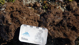
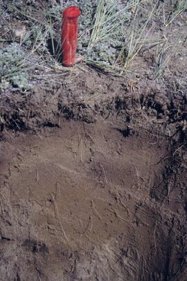
This PDF contains site location data, annotated soil profile photographs, and AMS radiocarbon dates for 2004 soil charcoal samples collected at Kluane Lake, Yukon Territory.
