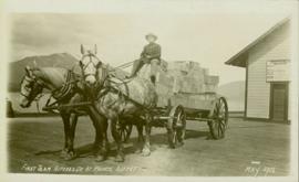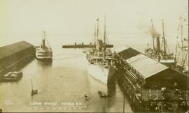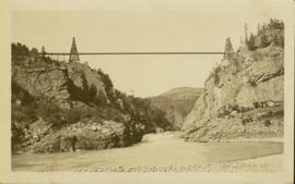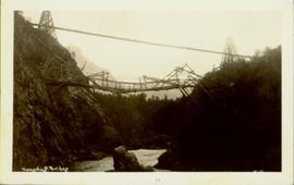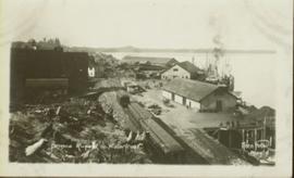
2009.7.1.289
·
Pièce
·
May 1904
Fait partie de Archdeacon W. H. Collison fonds
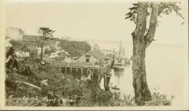
Photograph of a train traveling through Prince Rupert. Several people are gathered on the dock and around various buildings. Two small vessels are docked in the harbour. Annotation on recto reads: "Prince Rupert, Waterfront. Allen Photo May '4."