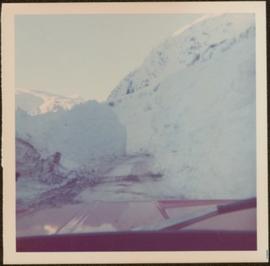
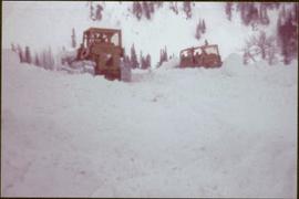
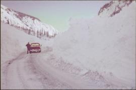
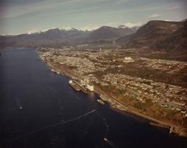
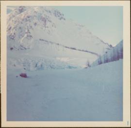
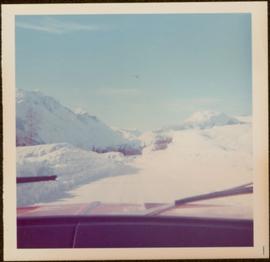
Photograph taken during European Sports Tour with Team Canada. See also item 2009.6.1.241 for image featuring similar content.
Handwritten annotation on verso reads: "Budapest". See also item 2009.6.1.238 for image featuring similar content. Photograph taken during European Sports Tour with Team Canada.
Photograph taken during European Sports Tour with Team Canada.
Photograph depicts an aerial view of the Haida Gwaii shoreline near Kiusta.
Photograph taken from interior of vehicle, dashboard visible in foreground. Snow on either side of highway stands at extreme height.
Trees on mountain base visible in background.
Man stands beside pickup truck on highway, hills in background.
Photograph depicts an aerial view of the Prince Rupert shoreline.
Woman stands on road, arm raised to show scale of snowbank in background.
Photograph depicts snowy area.
Bulldozer visible to left of road in distance, mountain in background.
Photograph taken from interior of vehicle, dashboard visible in foreground. Mountains and forest visible in background.
Snow on either side of highway stands at extreme height.
Photograph depicts a westward view from the terminal building at the Rainbow Lake Ski Club.
Photograph depicts the view to the north from the terminal building at the Rainbow Lake Ski Club.
Photograph depicts an aerial view of the Fairview container terminal in Prince Rupert
Photograph depicts the view to the northwest from the site of the terminal building at the Rainbow Lake Ski Club.
Photograph depicts a forested mountain, the bottom half of which has been logged and terraced; beneath the mountain is a railroad track and parked vehickes including a schoolbus and two dumptrucks.
Handwritten annotation on verso reads: “Fairview Sodturning, Prince Rupert, 1/3/75”.
Photograph depicts a totem pole in a British Columbia rainforest, possibly on Haida Gwaii.
Photograph depicts a pond with pink flamingos and a model boat that is located in Driftwood Canyon near Smithers.
Map depicts sea floor of the Beaufort Sea, fault lines, and diapirs.
Photograph depicts the El Dorado fishing boat off the coast of British Columbia, possibly near Haida Gwaii.
Photograph depicts an aerial view of the proposed site for the Fairview general cargo dock elevator site.
Photograph depicts workers sitting in the back of a truck at the construction site for the Pacific Northern Gas pipeline from Summit Lake to Kitimat.
Photograph depicts a totem pole in a British Columbia rainforest, possibly on Haida Gwaii.
Photograph depicts a landscape scene in northern British Columbia in an unknown location.
Photograph depicts a coastal landscape, possibly in northern British Columbia or Haida Gwaii.
Photograph depicts pipeline construction for the Pacific Northern Gas pipeline from Summit Lake to Kitimat.
Photograph depicts a construction site for the Pacific Northern Gas pipeline from Summit Lake to Kitimat.
Map depicts Chilkoot Inlet, Port Chilkoot, Taiya Inlet, Skagway, Tagish Lake, Golden Gate, and Graham Lake.
Map depicts the Gulf of Alaska, Pacific Ocean, Chicagof Island, Baranof Island, Alaskan Boarder, Yukon Territory Boarder, Telegraph Creek, Dease Lake and "Mount Brook" along the Graham Inlet.
Map depicts the topography around the township of Terrace, British Columbia. The Skeena River is noted, as well as the Coast Mountains and the Kitimat Ranges.
Photograph depicts the British Columbia coastal shoreline, possibly near Haida Gwaii.
Photograph depicts pipeline construction workers for the Pacific Northern Gas pipeline from Summit Lake to Kitimat with a helicopter on the north end of Prudhomme Lake.