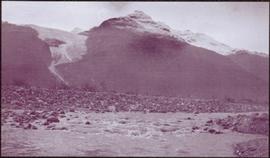
2006.20.11.26
·
Item
·
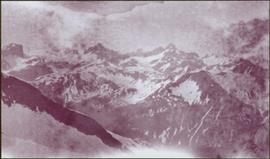
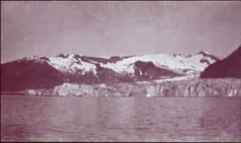
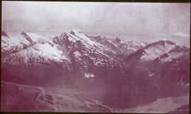
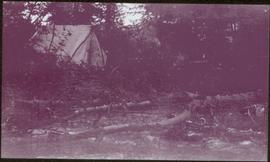
[ca. 1900-1940]
Parte de Northern BC Archives Historical Photograph Collection
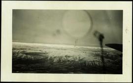
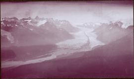
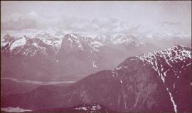
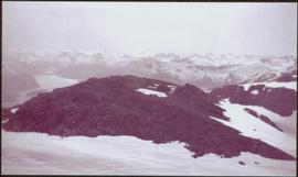
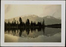
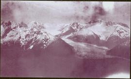
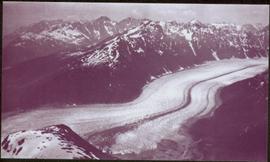
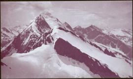
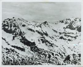
Overview of a snow covered mountain tops of the Cassiar Mountains. Handwritten annotation on verso in pen reads: “Cassiar mtns.”