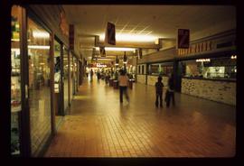
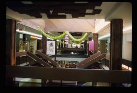
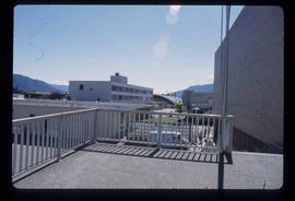
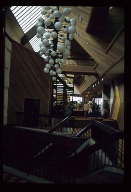
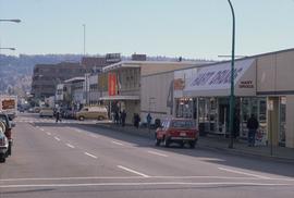
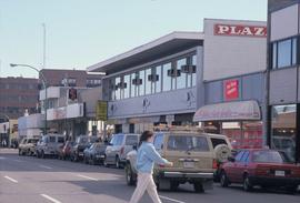
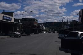
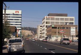
Image depicts the interior of a mall in Prince Rupert, B.C. It is possibly the Pride O' the North shopping mall.
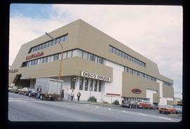
Image depicts the Pride O' the North shopping mall in Prince Rupert, B.C.
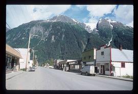
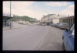
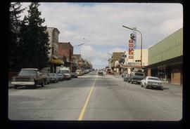
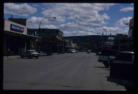
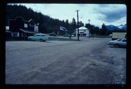
Image depicts the main street of Stewart, B.C.
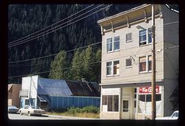
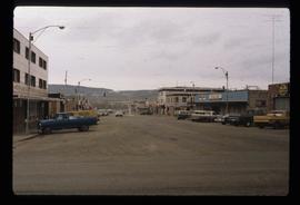
Image depicts several buildings along the main street in Stewart, B.C.
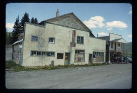
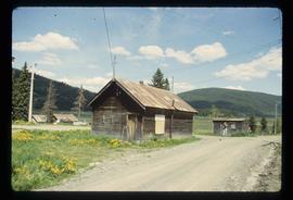
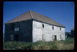
Image depicts the abandoned and crumbling Forman's General Store somewhere in or near either Barkerville or Wells, B.C.
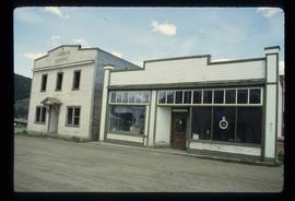
Image depicts the original bank building in Wells, B.C.
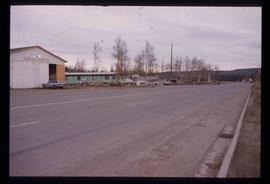
Image depicts a street in Burns Lake, B.C.
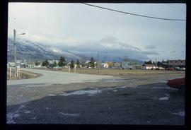
Image depicts McBride, B.C.
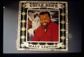
Image depicts an advertisement for an "Uncle Ben's Beer Malt Liquor" in the Willow River General Store. Map coordinates 54°04'23.7"N 122°28'26.9"W
Image depicts a street with a building which is labelled "MacKeigan Enterprises Ltd." in Hudson's Hope, B.C.
Image depicts Mile "0" of the Alaskan Highway in Dawson Creek, B.C.
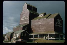
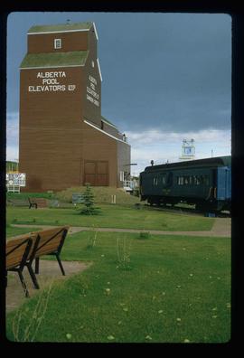
Image depicts a large building which is labelled "Alberta Pool Elevators Ltd. Dawson Creek," located in Dawson Creek, B.C.
Image depicts a large building which is labelled "Alberta Pool Elevators Ltd. Dawson Creek," located in Dawson Creek, B.C.
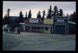
Image depicts the Pine Tree Restaurant in Atlin, B.C. It is possibly part of the Atlin Museum.
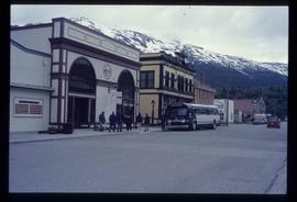
Image depicts the bus depot in Skagway, Alaska (USA).
Image depicts 3rd Ave at Victoria St. Map coordinates 53°55'03.9"N 122°44'54.8"W
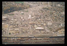
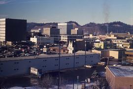
Image depicts an aerial view of downtown Prince George, B.C.
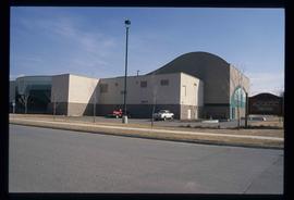
Image depicts the Aquatic Centre in Prince George, B.C.
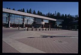
Image depicts the Prince George Civic Centre.
Image depicts the old Trading Outpost in Fort St. James, B.C.
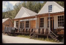
Image depicts the Hudson's Bay Company in Barkerville, B.C.
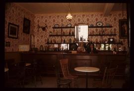
Image depicts the interior of the Wake Up Jake Saloon in Barkerville, B.C.
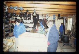
Image depicts the interior of the historic Hudson's Bay Company Trading Post, with several unknown individuals present, in Fort St. James, B.C.
File consists of clippings, notes, and reproductions relating to the central business district of Prince George. Includes: "Tours of downtown" pamphlet from the Prince George Public Library (6 July 2006); "Mr. P.G. says welcome to the city of Prince George" promotional map from the City of Prince George and drawn by H. Kettner (1966); "Re: Pcl. A (Lots 19-20)" typescript letter from BC Rail to Kent Sedgwick (2 Dec. 1987); "Prince George Public Library" letter from Tom Dielissen at the Prince George Public Library to Kent Sedgwick (2 July 1997); "Town Centre Historical Project" letter to the Mayor and Council of Prince George from Daniel Guerrette (16 July 1981); and "Historical continuity and the proposed town centre" typescript document submitted to City Council from the Heritage Advisory Committee (July 1981). File also includes photographs depicting the industrial area of Prince George (1987).
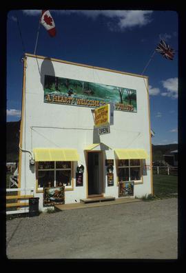
Image depicts a souvenir and gift shop for both Barkerville and Wells, B.C.
Image depicts the abandoned Cariboo Rooms, and a liquor store in Wells, B.C.
File contains slides depicting subjects related to the Fur Trade.
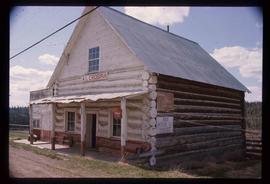
Image depicts an old convenience store, with a sign on it labelled "Al Crosina." It is located at the 153 Mile House.
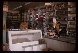
Image depicts the interior of an old convenience store; there are several unknown individuals present. It is located at the 153 Mile House.
Image depicts a general store in Quick, B.C.
Image depicts the interior of a mall somewhere in Kitimat, B.C.
Image depicts several buildings in Kitimat, with the Bay being the tall one on the left.
Image depicts the interior of the Pride O' the North shopping mall in Prince Rupert, B.C.
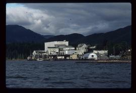
Image depicts the BC Packers Ltd. cannery in Prince Rupert, B.C.
Image depicts the main street of Prince Rupert, B.C.
Image depicts a view of 3rd Avenue with the Columbus Hotel prior to the fire that destroyed it in 2008.
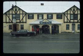
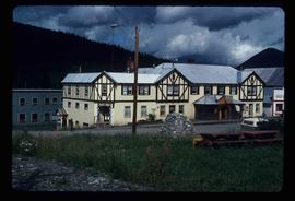
Image depicts the Wells Hotel in Wells, B.C.
Image depicts the Wells Hotel in Wells, B.C.
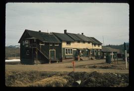
Image depicts a hotel in what appears to be a small community, possibly an outlying area of Bralorne, B.C.
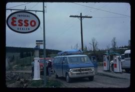
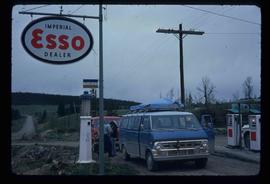
Image depicts the Esso gas station in Riske Creek, B.C.
Image depicts the Esso gas station in Riske Creek, B.C.
Image depicts downtown Prince George looking northwest across Dominion Street. Map coordinates 53°54'48.7"N 122°44'45.6"W
Image depicts 4th Ave at Brunswick St. and the following businesses: Hart Drugs, The Yarn Barn, and Saveco. Map coordinates 53°54'59.9"N 122°44'52.9"W
Image depicts 4th Ave at Quebec St, showing the following businesses: The Yarn Barn, Golden Chalice Jewellers, Dandy Lines, Ultrasport, and Saveco. Map coordinates 53°54'58.6"N 122°44'47.5"W
Image depicts 3rd Ave in Prince George, B.C. Map coordinates 53°55'01.9"N 122°44'48.7"W
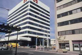
Image depicts downtown Prince George, B.C.
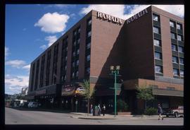
Image depicts the Ramada Hotel in Prince George, B.C.
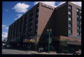
Image depicts the Ramada Hotel in Prince George, B.C.
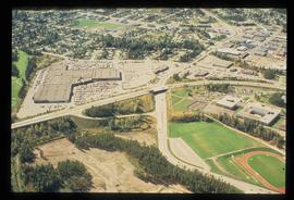
Image depicts an aerial view of Pine Centre Mall and Masich Place Stadium in Prince George, B.C.
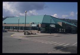
Image depicts the Prince George Multiplex.
