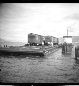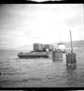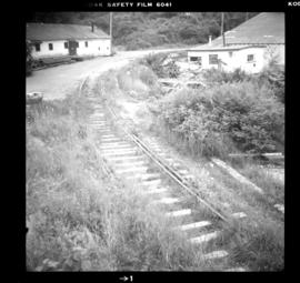
2013.6.36.1.041.01
·
Item
·
[6 July 1980]
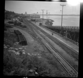
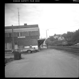
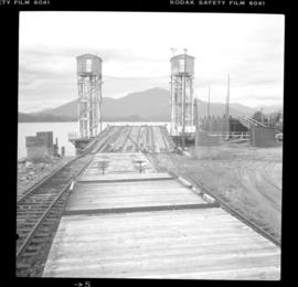
Part of David Davies Railway Collection
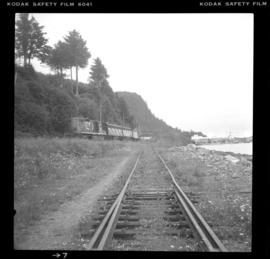
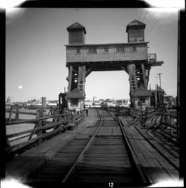
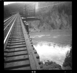
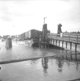
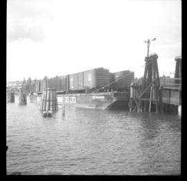
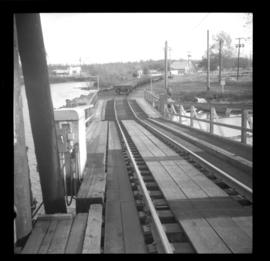
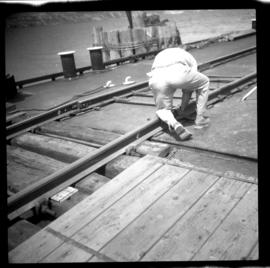
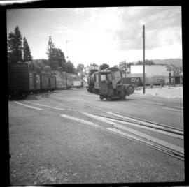
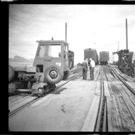
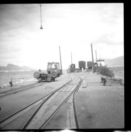
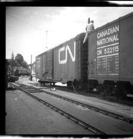
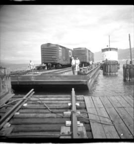
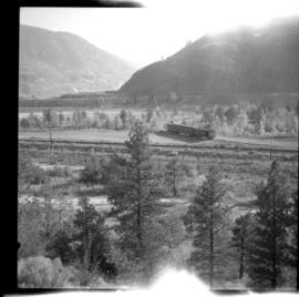
Photograph depicts a seal cove located about four minutes north of the center of Prince Rupert. This photograph was taken near the end of the line from Jasper. This sharp curve leads to the BC Packers Fish Cold Storage Plant. Davies notes there was no evidence of recent use (for at least one month).