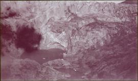
2009.6.1.126
·
Item
·
[ca. 1976]
Part of The Honourable Iona Campagnolo fonds
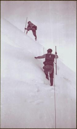
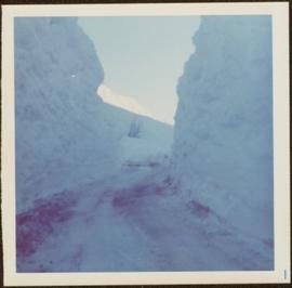
Snow on either side of highway stands at extreme height.