2017.7.1
·
Series
·
[195-?]
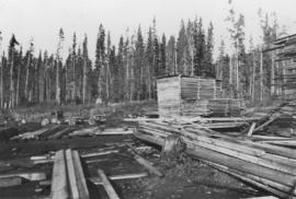
Part of S. B. Trick Lumber Co. fonds
Series consists of one black and white photograph of S. B. Trick Lumber Company Sawmill.