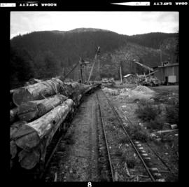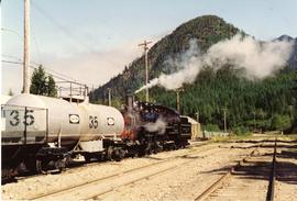
2013.6.36.1.052.15
·
Item
·
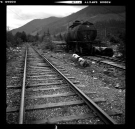
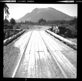
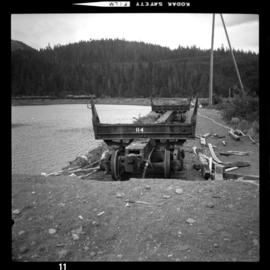
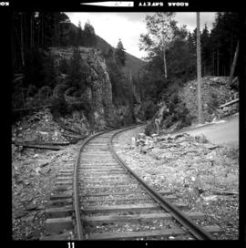
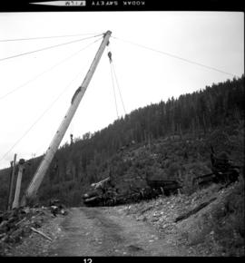
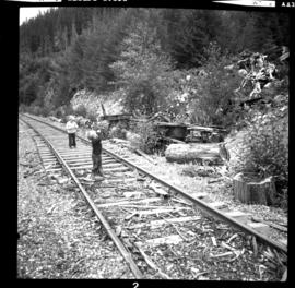
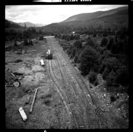
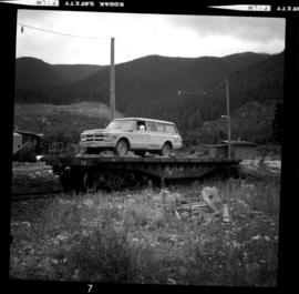
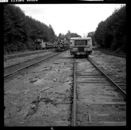
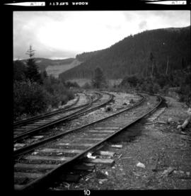
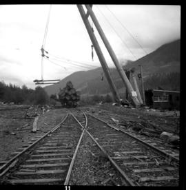
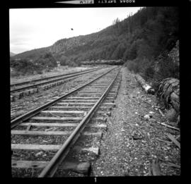
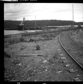
8 Aug. 1975
Part of David Davies Railway Collection
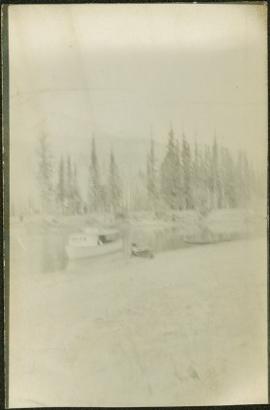
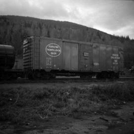
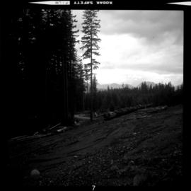
Photograph taken between the Nimpkish and Woss Camps. Visible is a string of log cars awaiting haulage to the tide water at Beaver Cove.