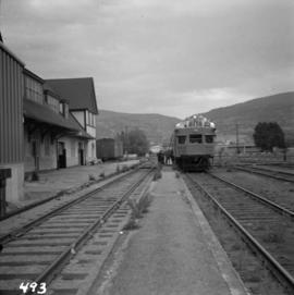
2013.6.36.1.007.025
·
Item
·
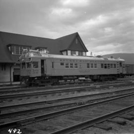
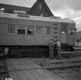
[21 May 1966]
Part of David Davies Railway Collection
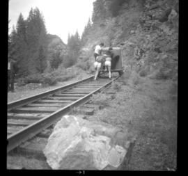
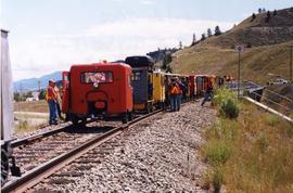
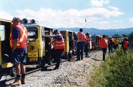
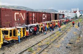
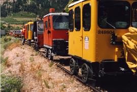
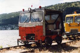
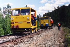
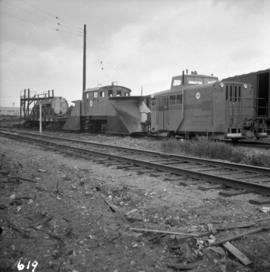
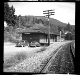
Photograph depicts a Sperry Rail service car #136 at the Penticton C.P.R. depot. It is for detecting faulty or broken rails and visits the area once a year. It is moving off to start work at mile 34 west of Penticton.