2008.27.9
·
File
·
1954
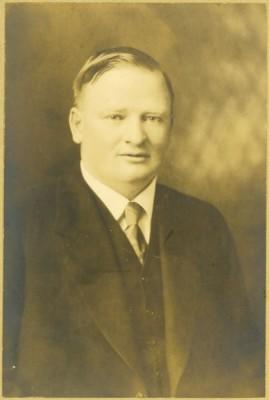
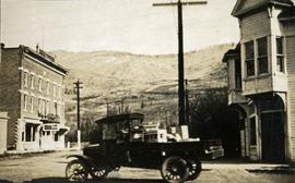
Part of Knox McCusker Collection
File consists of an interview with Knox McCusker by J. Frank Willis of the CBC which focuses upon providing an overview of McCusker's life and professional accomplishments.