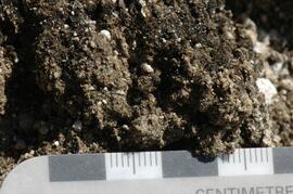
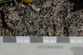
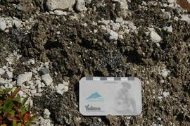
File contains the following data sets:
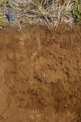
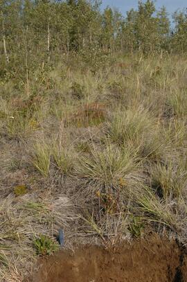
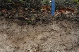
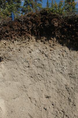
- S925finl.xls [chemical analysis data, Ministry of Forests & Range, Analytical Chemistry Laboratory for pedons Y07-06 & Y07-07; also includes data for BC07-03 & BC07-04 (Boreal Cordillera grassland soils – see associated file note)]
- S1007finl_revised2.xls [chemical analysis data, Ministry of Forests & Range, Analytical Chemistry Laboratory for pedons Y07-06 & Y07-07: oxalate & dithionite extractions, P retention; also includes P retention data for Nazko pedons BC07-07 & BC07-09]
- CANTEST lab report 90206003.pdf [particle size analyses for Klutan Glacier pedons Y07-06 & Y07-07; also Tuya pedons BC07-03 & BC07-04 &]
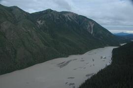
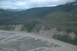
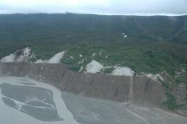
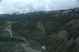
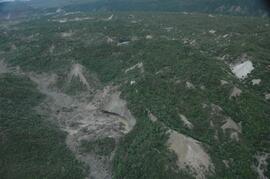
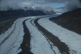
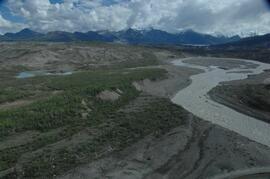
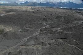
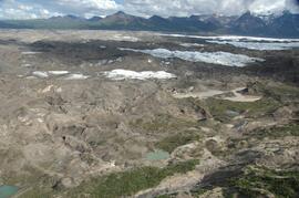
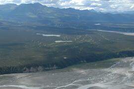
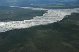
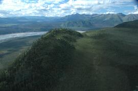
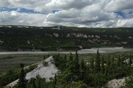
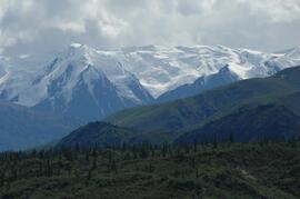
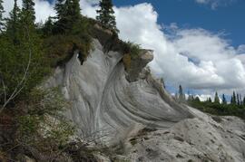
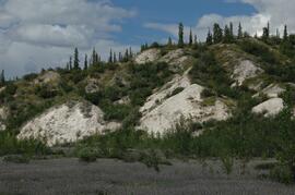
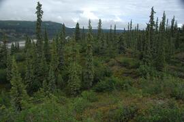
This image is part of the outbound sequence of aerial images obtained on the helicopter flight to the Klutlan Glacier study site. The sequence starts from the base camp at the White River crossing on the Alaska Highway and heads south, to a point just upvalley of the debris-covered terminus (approx. 10-15 km from Alaska border), and turning back north to the landing spot on the Generc River floodplain close to the study site (see Fig. 1 in paper).
This image is part of the outbound sequence of aerial images obtained on the helicopter flight to the Klutlan Glacier study site. The sequence starts from the base camp at the White River crossing on the Alaska Highway and heads south, to a point just upvalley of the debris-covered terminus (approx. 10-15 km from Alaska border), and turning back north to the landing spot on the Generc River floodplain close to the study site (see Fig. 1 in paper).
This image is part of the outbound sequence of aerial images obtained on the helicopter flight to the Klutlan Glacier study site. The sequence starts from the base camp at the White River crossing on the Alaska Highway and heads south, to a point just upvalley of the debris-covered terminus (approx. 10-15 km from Alaska border), and turning back north to the landing spot on the Generc River floodplain close to the study site (see Fig. 1 in paper).
This image is part of the outbound sequence of aerial images obtained on the helicopter flight to the Klutlan Glacier study site. The sequence starts from the base camp at the White River crossing on the Alaska Highway and heads south, to a point just upvalley of the debris-covered terminus (approx. 10-15 km from Alaska border), and turning back north to the landing spot on the Generc River floodplain close to the study site (see Fig. 1 in paper).
This image is part of the outbound sequence of aerial images obtained on the helicopter flight to the Klutlan Glacier study site. The sequence starts from the base camp at the White River crossing on the Alaska Highway and heads south, to a point just upvalley of the debris-covered terminus (approx. 10-15 km from Alaska border), and turning back north to the landing spot on the Generc River floodplain close to the study site (see Fig. 1 in paper).
This image is part of the outbound sequence of aerial images obtained on the helicopter flight to the Klutlan Glacier study site. The sequence starts from the base camp at the White River crossing on the Alaska Highway and heads south, to a point just upvalley of the debris-covered terminus (approx. 10-15 km from Alaska border), and turning back north to the landing spot on the Generc River floodplain close to the study site (see Fig. 1 in paper).
This image is part of the outbound sequence of aerial images obtained on the helicopter flight to the Klutlan Glacier study site. The sequence starts from the base camp at the White River crossing on the Alaska Highway and heads south, to a point just upvalley of the debris-covered terminus (approx. 10-15 km from Alaska border), and turning back north to the landing spot on the Generc River floodplain close to the study site (see Fig. 1 in paper).
This image is part of the outbound sequence of aerial images obtained on the helicopter flight to the Klutlan Glacier study site. The sequence starts from the base camp at the White River crossing on the Alaska Highway and heads south, to a point just upvalley of the debris-covered terminus (approx. 10-15 km from Alaska border), and turning back north to the landing spot on the Generc River floodplain close to the study site (see Fig. 1 in paper).
This image is part of the outbound sequence of aerial images obtained on the helicopter flight to the Klutlan Glacier study site. The sequence starts from the base camp at the White River crossing on the Alaska Highway and heads south, to a point just upvalley of the debris-covered terminus (approx. 10-15 km from Alaska border), and turning back north to the landing spot on the Generc River floodplain close to the study site (see Fig. 1 in paper).
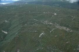
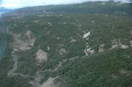
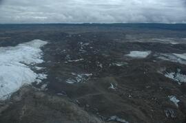
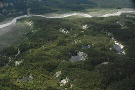
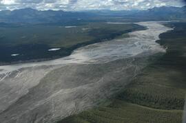
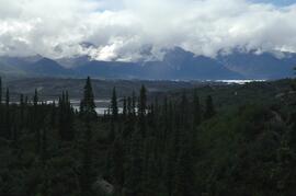
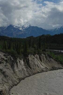
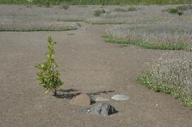
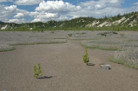
This image is part of the return trip sequence of aerial images obtained on the helicopter flight leaving the Klutlan Glacier study site. On the return leg at the end of the day, the flight initially went upvalley to pick up another party.
This image is part of the return trip sequence of aerial images obtained on the helicopter flight leaving the Klutlan Glacier study site. On the return leg at the end of the day, the flight initially went upvalley to pick up another party.
This image is part of the return trip sequence of aerial images obtained on the helicopter flight leaving the Klutlan Glacier study site. On the return leg at the end of the day, the flight initially went upvalley to pick up another party.
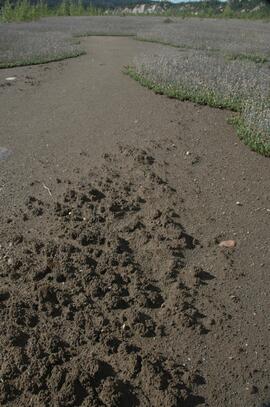
This image is part of the return trip sequence of aerial images obtained on the helicopter flight leaving the Klutlan Glacier study site. On the return leg at the end of the day, the flight initially went upvalley to pick up another party. This image was taken after the helicopter turned north to return to base camp.
This image is part of the return trip sequence of aerial images obtained on the helicopter flight leaving the Klutlan Glacier study site. On the return leg at the end of the day, the flight initially went upvalley to pick up another party. This image was taken after the helicopter turned north to return to base camp.
This image is part of the return trip sequence of aerial images obtained on the helicopter flight leaving the Klutlan Glacier study site. On the return leg at the end of the day, the flight initially went upvalley to pick up another party. This image was taken after the helicopter turned north to return to base camp.
This image is part of the return trip sequence of aerial images obtained on the helicopter flight leaving the Klutlan Glacier study site. On the return leg at the end of the day, the flight initially went upvalley to pick up another party. This image was taken after the helicopter turned north to return to base camp.
This image is part of the return trip sequence of aerial images obtained on the helicopter flight leaving the Klutlan Glacier study site. On the return leg at the end of the day, the flight initially went upvalley to pick up another party. This image was taken after the helicopter turned north to return to base camp.
Six metal storage cases containing primarily slides depicting drill core sections in wooden storage trays. Cases contain inventories of slide images as well as annotations which document the year, drill hole number, and the length along the drill hole from which core sections are taken. In addition to the documentation of drill core sections, the cases contain slides depicting the following subjects: “Representative samples” of drill core fragments, drill core fragments in perspective, “physical characteristics” of the drill cores and the storage trays, the pit mine, a worker in a plaid shirt, close up shots of the geology of the working face, and images annotated “SHOTS OF JADE BOULDER CORE J5-J1”. Five slides originally filed separately and stamp dated “Jul. ‘73” depict what is speculated to be employees working on the diamond drilling project include 2 images annotated ‘R. Dickin Aug ‘72’, ‘I. Oliver Aug ‘73’, ‘S. Zimmer Aug ‘73’, and ‘core shack ’73’. The cases contain 234 7x7cm slides and at least 8 5x5 cm slides which are duplicates of the remaining images. The file also contains a slide strip containing several 7x7 cm slide images.
The file contains eight photographs depicting close up images of three rock samples, some photographed with a ruler for scale. One of the rock samples is speculated to be obsidian and the other two are likely serpentine. The images where originally found in an envelope titled "ROCKS" and are likely dated around 1991.
Included in this file are an five photographs of rocks on a shelf, which may be asbestos sample rocks. There are five accompanying negatives to these photographs and are likely dated around 1977. The photographs and negatives were found in an envelope labelled "Negatives - CIMM Photos."
Additionally two negative strips of geology maps of Canada. These negatives were found in an envelope labelled "Negatives - CIMM Papers, Mining, Planning, Geology."
Photograph depicts large square model of the new mill building that was built at the Cassiar plant site in 1970. Model is displayed on green material set on a platform in snowy area. Machinery modeled inside the structure is colour-coded. Mountain in background.
Subseries consists of photographic material pertaining to the following subject areas: mine operations; plant operations;labour strike 1970s images; townsite operations of the company towns of Cassiar and Clinton Creek (including community activities associated therein and townsite development); as well as, images of mines not owned by Cassiar Asbestos Corporation, but which are believed to have been used for operational research purposes.
File contains 4 sheets of microfiche depicting a parts and service manual, wiring diagrams and schematics for a GAF Print Vac 190 printing machine that was used in the Engineering Department.
File contains images of mine operations and construction, as well as a variety of other subjects.
- Elements of the underground mine are depicted, including miners working, the marked rock face, yellow ducting and ventilation fan, the portal, mesh rockbolted onto adit walls, shotcrete being applied, and stacked mining construction materials.
- Mining equipment depicted in this file includes underground ore haulage truck, Wabco ore haulage truck, jackleg drill, stoper drill, scoop tram, jumbo drill, conveyor, pickup trucks, unidentified mixing or grinding machine, a cable wagon and half constructed ore haulage truck in the shop, and a continuous miner (also known as alpine miner or roadheader).
- A set of images show a dozer and a lowbed truck transporting a temporary building down the pit mine access road.
- Several images depict drill core fragments, asbestos ore, and geological features of the mine.
- Mining related process are depicted, including a young man sluicing and panning, a mine building under construction, and an unidentified steel frame structure with a hydraulic device suspended on a rail.
- A set of images shows a railway or highway construction project, including stockpile of construction materials, rail cars, caboose, locomotive, front end loader, dump truck, concrete mixing trucks, semi-trucks, and a rail car with large steel drums which are speculated to be specialized for tunnel construction.
- Further images show what is speculated to be tunnel construction.
- A set of images at a high ceiling underground mine which is not Cassiar depicts a man in a suite by a underground ore haulage truck, and other mining vehicles including a crane.
- A set of images depict an ungulate herd, possibly bighorn sheep, on a mountain side.
- The file includes several images which depict personal life, presumably from a family vacation, and access to these images may be restricted. These images depict man with children on a fishing trip, adults and children around a pool, a woman on a motorcycle, and a house and kitchen. Several groups of images are contained in envelopes annotated with dates and “K. Minty”.
Photograph depicts what appears to be a small model of projected bench mining on McDame mountain. The model stands outdoors on small wood table, car partially visible in background. Annotation printed in border on verso of photograph: "1955."
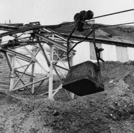
Photograph depicts bucket hanging from tramline in foreground. Support tower stands in midground in front of station building. Another building can be seen at top of mountain in background. Handwritten annotation on recto of photograph: "INCOMING BUCKET #1 STATION". Photograph was glued to cardboard backing with the annotation: "1962".
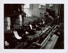
Photograph depicts an unidentified individual wearing a welding helmet, and kneeling behind large bearing cups of one of the Ruston Hornsby diesel engines that turned the generators in the power house on the Cassiar plant. Door, bulletin board, and miscellaneous supplies in background.
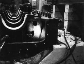
Photograph depicts the large bearing cups of one of the Ruston Hornsby diesel engines that turned the generators in the power house on the Cassiar plant. Engine believed to be under repair. Electric panels in background.
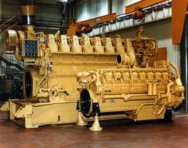
Photograph depicts large Caterpillar engine in large shop with sheeted walls and brick floor. Accompanying note reads: "MTCE 4-01 (b) Cat 3612 Engine".
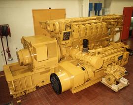
Photograph depicts large Caterpillar engine against painted brick wall in building with brick floor. Miscellaneous equipment in background. Accompanying note reads: "MTCE 4-01 (b) Cat 3612 Engine".
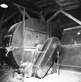
Photograph depicts a fan from the air system used to transport fibre throughout the mill system. It is believed that this photograph was taken on the top floor of the mill. Handwritten annotation on verso of photograph: "1961".
