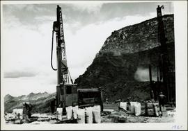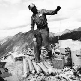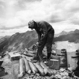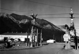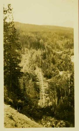
2000.1.1.3.17.008
·
Item
·
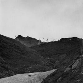
1962
Parte de Cassiar Asbestos Corporation Ltd. fonds
Photograph depicts towers and buckets in distance. Gravel road in foreground winding through hills of dirt. Handwritten annotation on recto of photograph: "#1 SECTION". Photograph was glued to cardboard backing with the annotation: "1962".