2000.1.1.3.13.49
·
Item
·
1978
Part of Cassiar Asbestos Corporation Ltd. fonds
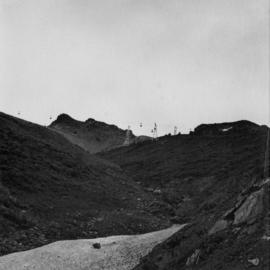
Photograph depicts the Cassiar mine above valley bellow, north east mountain range in background. Photograph was taken from the air, portion of plane visible in top left of image.