2013.6.36.1.156
·
Bestanddeel
·
1970-1994
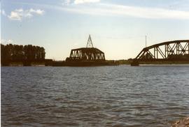
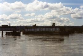
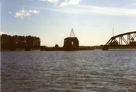
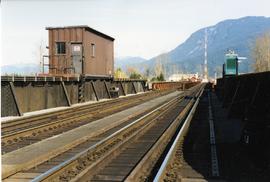
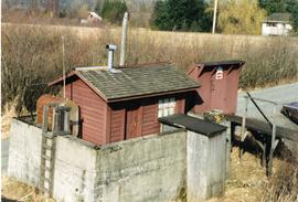
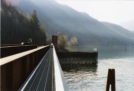
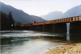
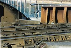
Part of David Davies Railway Collection
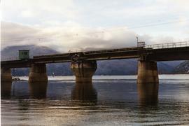
File consists of documentary photographs taken by David Davies of miscellaneous bridges in British Columbia.